

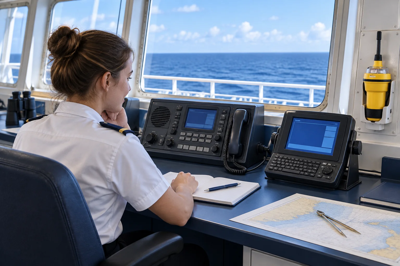
Module 7 — NAVTEX and maritime safety information
1The lesson in plain words
NAVTEX gives you safety information for the voyage: read the warning, identify its limits, and pass what matters to the bridge.
What do you receive?
NAVTEX is an automated maritime safety information service; the receiver listens automatically to station broadcasts.
Which frequencies matter?
The international service uses 518 kHz in English; national services may use 490 or 4209.5 kHz.
How do you read the header?
In ZCZC B1B2B3B4, B1 identifies the transmitter, B2 the subject, and B3B4 the message number.
What do you do with it?
Select voyage-relevant transmitters and subjects, read area and validity, and pass relevant information to the bridge before coverage ends.
2Step by step
Operational NAVTEX reading
- 1
Configure transmitters and subjects relevant to the voyage.
The receiver must get information relevant to the voyage.
- 2
Verify the frequency, transmitter and message header.
The header identifies transmitter, subject and number.
- 3
Read the full warning, its area, validity, and corrections or cancellations.
The number does not replace checking message changes.
- 4
Assess whether it changes route, watch, speed, communications or safety.
A printout shows reception, not navigational assessment.
- 5
Tell the bridge and record the decision, including “no change”.
The handover makes the warning's consequence clear.
- 6
Arrange another MSI source before leaving coverage.
NAVTEX is one source in the GMDSS information chain.
3Key data
- International NAVTEX
- 518 kHz · English
- National services
- 490 or 4209.5 kHz
- Header
- ZCZC B1B2B3B4
- B1
- Identifies the transmitter
- B2
- Identifies the subject
- B3B4
- Message number
- Non-rejectable subjects
- A, B, D and L
4Key points
- 1
518 kHz = international English NAVTEX; national services may use other frequencies.
- 2
B1 identifies transmitter · B2 subject · B3B4 message number.
- 3
A, B, D and L cannot be rejected under the service rules.
- 4
The bridge assesses and records the operational consequence of MSI.
5Frequent mistakes
Wrong: "A printed message has already been assessed."
Right: A printout proves reception; assess its effect and pass it to the bridge.
Wrong: "Every country uses 518 kHz and the same schedule."
Right: National services may use other frequencies and different schedules.
Wrong: "Piracy and tsunami information are extra subject letters."
Right: Both types of information are included within D, not new letters.
6Exam keys & interpretation
Exam keys
- If you see «B1», choose transmitter; B2 is subject and B3B4 is number.
- If «A, B, D or L» appears, remember: they are non-rejectable subjects.
- If asked about a printout, look for «assess and pass on»: reception is not assessment.
How to read it
- NAVTEX gives you information; the bridge decides what changes for the voyage.
- Think of the header as a label: identify origin, subject and number before interpreting the warning.
7Go deeper: GOC exam level
The detail behind each step for the General Operator's Certificate: the rules, the radio technique and worked cases.
What counts as MSI
Maritime Safety Information covers navigational warnings, meteorological warnings and forecasts, shore-to-ship distress alert relays, SAR-related information and other urgent safety information. The worldwide service delivers it by terrestrial and satellite means according to where the ship is.
NAVTEX: frequencies and format
NAVTEX is an automatic narrow-band direct-printing service for coastal MSI.
| Frequency | Use |
|---|---|
| 518 kHz | The international service, in English |
| 490 kHz | National services, often in the local language |
| 4209.5 kHz | National/regional NAVTEX-type broadcasts where coordinated |
Every message has a fixed frame:
| Element | Meaning |
|---|---|
| ZCZC | Start of message |
| B1 | Transmitter identity, a letter A–X, linked to the station's time slot |
| B2 | Subject indicator: the type of message |
| B3B4 | Serial number 01–99 |
| Text | Area, hazard, position, validity, instructions |
| NNNN | End of message |
Serial number 00 is reserved for messages that must always be printed or shown, so it is never used for routine traffic.
Time slots: when each station transmits
All NAVTEX stations in a region share 518 kHz, so each B1 letter has its own 10-minute slot, repeated every 4 hours (UTC). Knowing the slot tells you when to expect a station's broadcast, and why an urgent warning may be sent at once outside it.
| B1 | First slot (UTC) | B1 | First slot (UTC) | B1 | First slot (UTC) |
|---|---|---|---|---|---|
| A | 0000 | I | 0120 | Q | 0240 |
| B | 0010 | J | 0130 | R | 0250 |
| C | 0020 | K | 0140 | S | 0300 |
| D | 0030 | L | 0150 | T | 0310 |
| E | 0040 | M | 0200 | U | 0320 |
| F | 0050 | N | 0210 | V | 0330 |
| G | 0100 | O | 0220 | W | 0340 |
| H | 0110 | P | 0230 | X | 0350 |
Each slot repeats every 4 hours: station G, for example, also transmits at 0500, 0900, 1300, 1700 and 2100 UTC.
The subject indicators (B2)
| B2 | Message type |
|---|---|
| A | Navigational warnings |
| B | Meteorological warnings |
| C | Ice reports |
| D | SAR information, piracy warnings, tsunamis and other natural phenomena; triggers the receiver's alarm |
| E | Meteorological forecasts |
| F | Pilot and VTS service messages |
| G | AIS service messages (not AtoN) |
| H | LORAN messages |
| I | Currently not used |
| J | GNSS messages |
| K | Other electronic navigational aid system messages |
| L | Navigational warnings additional to A |
| Z | No message on hand |
Paper or screen, the work is the same
On a printing receiver, the paper is part of the bridge workflow: read it, mark it, apply it. On a screen receiver you manage selected stations (B1), categories (B2), read/unread status and alarms. Check after every voyage change that the right stations for the route are selected.
NAVAREA and METAREA
The oceans are divided into coordination areas for navigational warnings (NAVAREAs) and meteorological information (METAREAs). Their coordinators produce and distribute information that reaches the ship by NAVTEX near the coast and by satellite EGC on the ocean.
SafetyNET and SafetyCast
Both broadcast MSI and SAR information by satellite to geographic areas. The terminal's position and area settings decide what the ship receives, so a wrong position or configuration means wrong reception.
NAVDAT: higher-capacity digital MSI
WRC-23 integrated NAVDAT into the GMDSS regulatory framework: a digital shore-to-ship system with more capacity than NAVTEX, designed for MSI and related data, with frequencies identified in MF and HF. Deployment depends on Administrations and coast networks.
References: SOLAS IV as amended by MSC.496(105) · IMO GMDSS circulars
GOC exam check
On which frequency is the international NAVTEX service broadcast in English?
- 490 kHz
- 518 kHz
- 4209.5 kHz
- 2187.5 kHz
Show the answer
B. 518 kHz
Why: 518 kHz is the international English service. 490 kHz carries national services, often in the local language.
A NAVTEX message has subject indicator B2 = D. What is it about?
- Meteorological forecasts for the area
- Ice reports and ice limits
- Pilot and VTS service messages
- SAR information, piracy or tsunami warnings
Show the answer
D. SAR information, piracy or tsunami warnings
Why: D covers SAR, piracy, tsunamis and other natural phenomena, and it sounds the alarm. Forecasts are E and ice reports are C.
Which NAVTEX message categories cannot be deselected on the receiver?
- A, B, D and L
- A, B, D and E
- A, B, C and D
- B, D, E and L
Show the answer
A. A, B, D and L
Why: Navigational warnings (A and L), meteorological warnings (B) and SAR information (D) must always be received. Forecasts (E) and ice (C) can be filtered.
What does serial number 00 in a NAVTEX header mean?
- A test message that can be ignored
- The first routine message of the day
- A message that must always be printed
- A message cancelling the previous one
Show the answer
C. A message that must always be printed
Why: Serial 00 is reserved for messages that must always be printed or shown, so it is never used for routine traffic.
In a NAVTEX header, what does B1 identify?
- The type of message
- The transmitter and its time slot
- The serial number of the message
- The NAVAREA that issued it
Show the answer
B. The transmitter and its time slot
Why: B1 is a letter A–X for the transmitter, linked to its time slot. The message type is B2 and the serial number is B3B4.
Your NAVTEX receiver has printed nothing for two days on a busy coastal route. What should you assume?
- There has been nothing to report in the area
- The station only transmits when a warning is due
- Silence is normal outside forecast times
- Check stations, categories and antenna first
Show the answer
D. Check stations, categories and antenna first
Why: A quiet printer is not a quiet sea. Check the selected B1 stations, deselected categories and the antenna before trusting the silence.
Planning a passage, you need the NAVTEX stations and NAVAREA/METAREA services for each leg. Where do you look?
- ADMIRALTY List of Radio Signals Volume 1
- ADMIRALTY List of Radio Signals Volume 6
- ADMIRALTY List of Radio Signals Volume 3
- ITU List V of ship stations
Show the answer
C. ADMIRALTY List of Radio Signals Volume 3
Why: ALRS Volume 3 covers Maritime Safety Information, NAVTEX and EGC broadcasts. Volume 1 lists radio stations and Volume 6 VTS and port services.
Your ship leaves coastal NAVTEX range for an ocean crossing. How will it receive MSI?
- By satellite EGC for its NAVAREA and METAREA
- By NAVTEX on 4209.5 kHz across the ocean
- By NAVDAT, which replaced NAVTEX offshore
- By AIS safety messages from passing ships
Show the answer
A. By satellite EGC for its NAVAREA and METAREA
Why: Away from the coast MSI arrives by satellite EGC (SafetyNET or SafetyCast) for the area. 4209.5 kHz is a national or regional service, not an ocean one.
Your ship sails from Lisbon towards Gibraltar along the coast. At 0800 UTC the NAVTEX still shows only messages from stations you passed yesterday and nothing from the stations ahead. What is the most likely cause?
- 518 kHz signals do not carry in daylight
- Category D was deselected on the receiver
- The stations ahead broadcast only on 490 kHz
- The new leg's B1 stations are not selected
Show the answer
D. The new leg's B1 stations are not selected
Why: NAVTEX prints only the stations selected by B1, so a receiver set up for yesterday's leg ignores the stations ahead. Category D cannot be deselected, and a missing category would not explain why whole stations are silent.
Same scenario: you select the stations for the new leg. One of them has B1 = G. After 0800 UTC, when do you expect its next scheduled broadcast?
- 0810 UTC
- 0900 UTC
- 1000 UTC
- 1300 UTC
Show the answer
B. 0900 UTC
Why: Station G's slot starts at 0100 UTC and repeats every 4 hours: 0100, 0500, 0900, 1300. The next one after 0800 is 0900 UTC; 1300 is also a G slot, but not the next one.
8Full lesson & sources
Open the full lesson (diagrams and official references)
International NAVTEX broadcasts on 518 kHz in English; national services may use 490 or 4209.5 kHz. Its header is ZCZC B1B2B3B4: B1 identifies the transmitter, B2 the subject and B3B4 the message number. A, B, D and L are non-rejectable categories. Piracy and tsunami information are included within D, not additional subject letters.
The receiver listens automatically; stations transmit according to schedules, with urgent broadcasts when required. Configure relevant transmitters and selectable subjects for the voyage, read warnings and pass operationally relevant information to the bridge. Arrange another appropriate MSI reception service before leaving coverage. A printed message alone does not demonstrate that its safety implications were assessed.
Reading a NAVTEX message
NAVTEX is the coastal MSI service: shore stations broadcast navigational warnings, weather warnings and SAR information on 518 kHz in English, and a dedicated receiver prints or stores them automatically. Many countries also run a national service on 490 kHz in their own language. A station's range is typically a few hundred miles, so NAVTEX is what you rely on near the coast. Offshore, satellite EGC takes over. The USCG NAVTEX guide is a good operational reference, but always check the stations on your route.
Every message starts with a four-character header after ZCZC. Take ZCZC GB12:
| Character | Value | Meaning |
|---|---|---|
| B1 | G | Transmitter G: look up which station holds that letter in your area |
| B2 | B | Subject: meteorological warning |
| B3B4 | 12 | Serial number 12 from that station for that subject |
B1 identifies the transmitter. Stations share 518 kHz by taking turns: each B1 letter from A to X has a 10-minute slot every 4 hours (A at 0000, 0400, 0800 UTC and so on, B ten minutes later). Stations close enough to interfere never share a letter. The receiver also uses the full header to avoid reprinting a message it has already received cleanly, so the same warning repeated in later slots does not flood the bridge.
From printout to bridge decision
A printed message is evidence of reception, not evidence that anyone has thought about it. Work through it like this. Message GA37 reads: "LIGHT 43-12.4N 008-31.0W EXTINGUISHED." Plot it. Your track passes 12 NM off at night, and you do not use that light for position fixing. Decision: no change to the passage plan. Note it on the chart and in the log, and tell the officer of the watch. Message GB13 reads: "GALE WARNING, NW 8 TO 9 EXPECTED WITHIN 6 HOURS" for the sea area you enter in 4 hours. That changes the plan: secure cargo and the deck, review speed and routing, and brief the master.
A five-step MSI workflow
- 1Before sailing, select the B1 stations that cover each leg of the route; ALRS Volume 3 lists them.
- 2Read each message in full: subject, area, validity, and whether it cancels or corrects an earlier one.
- 3Plot it and decide whether it changes the route, speed, watch or safety briefing.
- 4Tell the officer of the watch and record the decision, including "no change".
- 5Before you leave NAVTEX range, confirm that satellite MSI (SafetyNET or SafetyCast) is set up for the next area.
Worked insight: filtering is not ignoring
Suppose the receiver has stations G and S selected and subject E (forecasts) deselected. A subject B gale warning from G still prints: B cannot be refused. A forecast from G does not print, which is your choice. A navigational warning from station K, which you did not select, does not print at all, even if it concerns your route, because the receiver only accepts the stations you selected. That is the real risk: a quiet receiver may mean only that the wrong stations are selected. When you change areas, change the B1 selection.
NAVTEX is an MSI input; the bridge team supplies the judgement. It cannot send an alert, talk to an RCC, or replace a full weather routing service. Its value lies in decoding the message correctly and making a clear decision from it.
Official references · 2026-09-09
Finish this unit
When you've read it, match the terms, then answer three questions. Get them all right to finish the unit; opening the page alone doesn't count.
My notes for this unit
No notes