

Where to get a marine forecast
1The lesson in plain words
Use the official marine forecast from the national weather service first. Check the source, issue time and coverage of forecasts you receive.
The official forecast
Each coastal country has a national meteorological service, such as the Met Office (UK), AEMET (Spain), Météo-France or DWD (Germany). Under World Meteorological Organization (WMO) rules, they write the official marine forecasts and warnings for their waters. A forecaster checks these against observations. Treat them as your reference; other sources are extra.
Coastal, offshore, high seas
Product boundaries vary by country. The UK inshore forecast extends to 12 nautical miles (nm) offshore; the French coastal bulletin extends to 20 nm. Offshore forecasts cover wider sea areas. High seas bulletins cover the ocean in 21 large forecast regions called METAREAs. Use the forecasts that cover your whole route, not just your harbour.
Radio and VHF
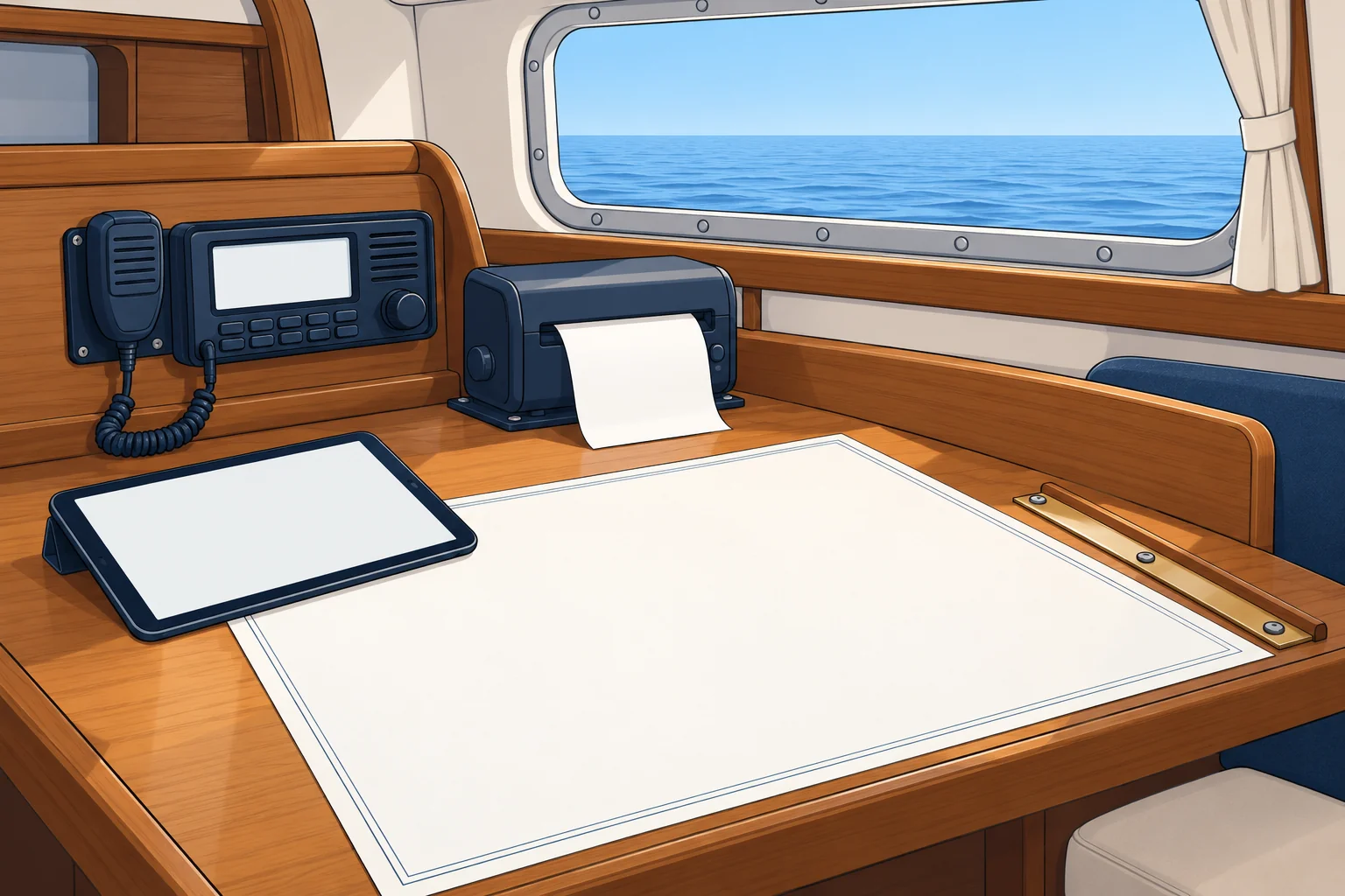
Coastguard and coast-radio stations broadcast forecasts and warnings on VHF (very high frequency) radio at set times. They announce broadcasts on channel 16, or by digital selective calling (DSC), an automated radio alert. Switch to the working channel they name and listen. In Spain, Salvamento Marítimo broadcasts this way; some countries also use medium-frequency radio or national public radio.
NAVTEX
NAVTEX automatically receives safety messages: 518 kHz in English, 490 kHz for national services; subject B means weather warnings, E weather forecasts. Receiver details belong to GMDSS.
Apps and websites
Apps may show computer-model output or official text. Check the forecast issuer and issue time, then read the current official marine forecast and warnings for your route. GRIB files and weather models have their own unit.
2Key data
- UK inshore forecast
- Coastal waters to 12 nm offshore
- France coastal bulletin
- Out to 20 nm from the coast
- High seas
- 21 METAREAs worldwide, broadcast by satellite and radio
- International NAVTEX
- 518 kHz, English; national NAVTEX often 490 kHz
- NAVTEX weather subjects
- B = weather warnings, E = weather forecasts
- VHF broadcasts
- Announced on channel 16 or DSC, then read on a working channel
3Key points
- 1
The national weather service's official forecast is your reference.
- 2
Use the forecast that covers your whole route: coastal, offshore or high seas.
- 3
VHF broadcasts are announced on channel 16, then read on a working channel.
- 4
NAVTEX prints warnings (B) and forecasts (E) automatically.
- 5
Apps may show model output. Check the issuer, issue time and current official text.
4Frequent mistakes
Wrong: A weather app is as good as the official forecast.
Right: Apps may show model output or official text. Check the issuer and issue time, then read the current official marine forecast and warnings for your route.
Wrong: Listen to the forecast on channel 16.
Right: Channel 16 only carries the announcement. Switch to the working channel it names for the forecast itself.
Wrong: The harbour forecast is enough for a day trip along the coast.
Right: Read the forecast for every area your route crosses, and check whether you go beyond the coastal strip.
5Practice case & exam keys
You plan a 30 nm coastal passage in France, staying within 10 nm of the shore. A friend sends you a colourful app screenshot showing 12 knots all day. What else should you check?
Show the answer
Read the current official Météo-France coastal bulletin for each zone along your route, and any marine weather warnings. Note the issuer and issue time. Compare it with the app: if the official text gives stronger wind or gusts, allow for those figures. At sea, listen to French coast-radio VHF broadcasts announced on channel 16.
Exam keys
- Official marine forecasts and warnings come from the national meteorological service.
- Coastal, offshore and high seas products cover defined areas; boundaries vary by issuing service.
- VHF weather broadcasts are announced on channel 16; NAVTEX uses 518 kHz (international) and 490 kHz (national).
Finish this unit
When you've read it, match the terms, then answer three questions. Get them all right to finish the unit; opening the page alone doesn't count.
My notes for this unit
No notes