

Forecasting fog with the dew point
1The lesson in plain words
The dew point is the temperature at which air becomes saturated. Sea colder than the arriving air’s dew point warns of sea-fog risk.
The sea fog test
Sea fog forms when water cools the air to its dew point. Compare the incoming air’s dew point with the sea surface temperature. If the sea is at or below that dew point, fog is possible. This comparison does not predict thickness or duration. Wind, mixing and time over cold water also matter.
Getting the numbers
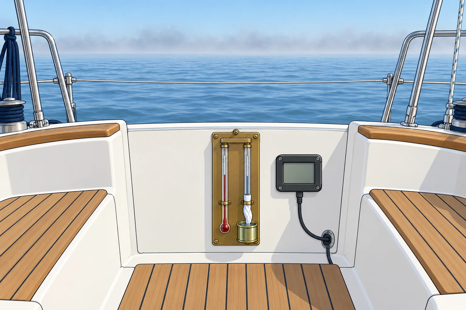
A psychrometer has wet- and dry-bulb thermometers. Use their readings with its chart or a calculator to find dew point. An electronic temperature-and-humidity instrument may calculate it automatically. Get sea temperature from an onboard sensor, a bucket thermometer or forecast maps. Look at the air upwind of you too: that is the air arriving next.
Radiation fog test
Over land, compare the expected night minimum temperature with the evening dew point. A clear sky, light wind and a minimum at or below the dew point increase the risk of fog by dawn, especially in valleys and estuaries.
A worked example
The air flowing towards you is 17 °C with a dew point of 14 °C. The sea ahead is 12 °C. The sea is 2 °C below the dew point, so it may cool the air enough for fog to form. If the sea were 16 °C, above the dew point, sea fog from this cooling would be unlikely.
Other clues
The dew point spread is air temperature minus dew point. A spread closing to 1–2 °C warns of near-saturation, but does not guarantee fog. Damp decks may be dew. A fading horizon and forecast fog patches strengthen the warning: prepare early.
2Key data
- Sea-fog risk
- Sea temperature at or below the air's dew point
- Sea fog unlikely
- Sea temperature well above the air's dew point
- Radiation fog likely
- Night minimum ≤ dew point, clear sky, light wind
- Warning sign
- Small spread: little cooling needed for condensation
- Example
- Dew point 14 °C, sea 12 °C → increased sea-fog risk
3Key points
- 1
Compare the air's dew point with the sea temperature.
- 2
Sea at or below the dew point: increased sea-fog risk.
- 3
Over land, compare the night minimum with the dew point.
- 4
A closing dew point spread warns of increasing fog risk.
- 5
"Fog patches" in a forecast means a real chance of fog.
4Frequent mistakes
Wrong: Compare the air temperature with the sea temperature.
Right: Compare the sea temperature with the incoming air’s dew point. Water at or below that dew point can cool the air to saturation; fog is possible, not certain.
Wrong: Only the air around the boat matters.
Right: Look at the air arriving from upwind and the sea ahead on your route.
5Practice case & exam keys
Your log at 0800, 1000 and 1200 shows air 18, 18, 17 °C and dew point 13, 15, 16 °C. A south-westerly carries the air towards a coast where the sea is 14 °C. What do you expect at your landfall this afternoon?
Show the answer
The dew point spread has closed from 5 °C to 1 °C. The incoming air’s dew point, 16 °C, is above the 14 °C sea near the coast. The cold sea can cool that air to its dew point, increasing sea-fog risk at landfall. Plan a safe approach in poor visibility, or choose charted water with enough depth and room to wait clear of traffic.
Exam keys
- Sea-fog risk: sea temperature at or below the incoming air’s dew point; wind, mixing and time also matter.
- Radiation-fog risk: night minimum at or below the dew point, clear sky, light wind.
- A psychrometer’s wet- and dry-bulb readings help you find dew point.
Finish this unit
When you've read it, match the terms, then answer three questions. Get them all right to finish the unit; opening the page alone doesn't count.
My notes for this unit
No notes