

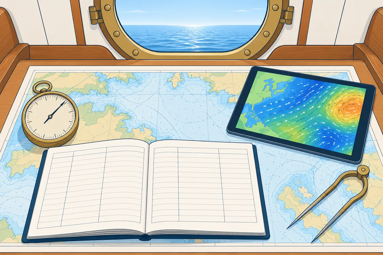
Your observations, the forecast and the deck log
1The lesson in plain words
Compare the forecast with your observations. If they disagree, prepare for worsening weather while you get the latest bulletin and warnings.
Two kinds of knowledge
An official forecast is made by forecasters using observations, satellites and computer models over a wide area. Forecast GRIB files usually carry computer-model guidance rather than a forecaster’s written bulletin; see GRIB and weather models. Your barometer, sky and sea show what is happening at your position now. For the next few hours, use local trends to test the forecast, especially if it was issued hours ago.
Test the forecast
Suppose the bulletin predicts a front at 1800, with thickening cloud, falling pressure and a backing wind (turning anticlockwise) beforehand. Write those expected changes and times in your log. Each watch, compare them with what you see. Matching observations support the forecast, but do not prove its timing.
When they disagree
If the barometer falls faster, or the wind shifts earlier, than the forecast suggests, check whether the system is deeper, faster or nearer. These signs do not prove the cause. Get the newest bulletin and warnings, and check the forecast’s issue time or the GRIB’s model run time. Until you know more, plan for the worst case: reef, seek shelter or keep sea room.
Limits of GRIB
Model wind represents conditions on a grid at forecast times. Output intervals are not the wind averaging period. Small-scale gusts, squalls and sharp fronts may be missed. Some forecast GRIBs include gust fields, but these can still underestimate extremes. Check available gust fields and read the official forecast and warnings alongside them.
2Step by step
Keep a weather deck log
- 1
Use fixed UTC times: pressure at least every 3 hours, hourly when falling; record other weather each watch.
Regular entries at known times give tendencies you can compare.
- 2
Log position, barometer and its 3-hour tendency.
Pressure trends help you spot departures from the forecast.
- 3
Log true wind direction and speed, and the largest gust seen.
Wind shifts and gusts show fronts and squalls arriving.
- 4
Log wind waves and swell: direction, period and height.
A new or growing swell can warn of a distant storm.
- 5
Log cloud type and cover in eighths (oktas), visibility and weather.
Regular entries help you recognise how the cloud is changing.
- 6
Note the latest forecast received and what you expect next.
Comparing expectation and reality shows when the forecast is going wrong.
3Key data
- Next few hours
- Use local trends to test the forecast over the next few hours
- Disagreement
- Get the newest bulletin; plan for the worst case meanwhile
- GRIB
- Model guidance; gust fields may still miss squalls
- Cloud cover
- In oktas: 0 = clear sky, 8 = overcast
- Log times
- UTC; pressure at least 3-hourly, hourly when falling
4Key points
- 1
Forecasts give the big picture; your observations show what is happening here.
- 2
Turn each forecast into checks you can make each watch.
- 3
Unexpected changes are a reason to update the forecast and prepare conservatively.
- 4
GRIB mean wind and gust fields may miss extremes; check official forecasts and warnings.
- 5
Log pressure, wind, sea, swell, cloud and visibility at fixed times in UTC.
5Frequent mistakes
Wrong: The forecast says force 4, so the falling barometer must be wrong.
Right: Check the instrument, pressure trend and sky. A quick fall warrants updated information and preparation.
Wrong: A GRIB file showing 15 knots means the gusts will be about 15 knots.
Right: A 15-knot mean-wind field is not a gust forecast. Check gust fields and official warnings; squalls may be stronger.
Wrong: Keep the log only for position and course.
Right: Log the weather too. Without earlier entries you cannot spot the changes that warn you.
6Practice case & exam keys
Your 0600 forecast says a cold front will cross your area at about 2100. At 1500 the barometer has fallen 3.8 hPa in 3 hours, cloud has thickened, and the wind has backed and freshened earlier than you expected. The GRIB still shows 18 knots at 2100. What do you do?
Show the answer
These changes warrant checking whether the front is early or the low is deeper; they do not prove either. Get the newest bulletin and warnings, and check the GRIB’s model run time and available gust fields. Do not treat 18 knots as a gust limit: model fields can miss squalls. Reef, secure the deck, plan sea room or shelter for the front, and log hourly to track changes.
Exam keys
- Own observations test local developments; forecasts give the wider outlook.
- When they disagree, get the latest bulletin and plan for the worst case.
- Check GRIB mean wind, available gust fields and official warnings.
- Deck log: UTC time, position, pressure and tendency, wind, sea, swell, cloud, visibility.
Finish this unit
When you've read it, match the terms, then answer three questions. Get them all right to finish the unit; opening the page alone doesn't count.
My notes for this unit
No notes