

Coastal and congested waters, poor visibility, darkness and anchor watch
1The lesson in plain words
Near the coast, fix often and by more than one method on the largest-scale chart. Fog, darkness and anchoring each add their own duties.
Charts and fixes
A fix is your position established from observations. Use the largest-scale corrected chart available: the chart showing the most detail. Fix often, using more than one method where possible: radar ranges, visual bearings and satellite positions from a global navigation satellite system (GNSS). With ECDIS, the electronic chart display and information system, use charts of an appropriate usage band, the category suited to that stage of navigation. Check position independently at suitable intervals. Identify each mark before using it. Use radar throughout congested waters.
How often to fix
Choose an interval that leaves time to detect an error and act before danger. At 12 knots you travel 1 nautical mile in 5 minutes. At your latest fix, a shoal edge runs parallel to your track, 1 mile away. A 2-knot current sets you towards it, so the sideways margin is 30 minutes. Five-minute fixes limit sideways movement to 0.17 mile between fixes. Shorten the interval if the margin falls. Set is the direction towards which the current flows.
Restricted visibility
When restricted visibility is met or expected, first comply with the COLREG: sound fog signals, proceed at a safe speed and have the engines ready for immediate manoeuvre. Also show the navigation lights, operate and use the radar, call the master and post a lookout where they can hear as well as see. Have someone ready to steer by hand.
Darkness
At night, the master and OOW arrange the lookout with due regard to the bridge equipment and aids available, their limits and the safeguards in place. A small wheelhouse with bright screens ruins night vision: dim every display, use a red or very low chart-table light, and remember that the sole-lookout allowance is for daylight only.
At anchor
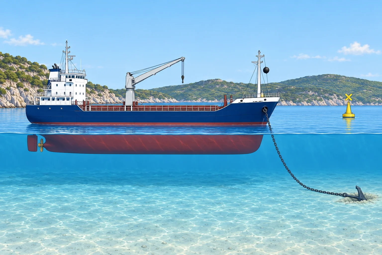
If a navigational watch is required at anchor, plot the position promptly. Check frequently that the ship holds, using bearings of fixed marks or shore objects. Maintain a proper lookout and arrange periodic inspection rounds without leaving the watch unattended. Watch weather, tide and sea. Keep engines at ordered readiness; show the required lights, shapes and sound signals. If the ship drags or visibility drops, call the master and act. Prevent pollution and follow applicable regulations.
2Key data
- Chart
- Largest scale on board for the area, corrected to date
- Fixes
- Frequent, by more than one method where possible
- ECDIS
- Right usage band; check position by independent means
- Radar
- In restricted visibility and always in congested waters
- Fix interval
- Short enough to detect an error and act before reaching danger
- 12 knots
- 1 mile every 5 minutes
3Key points
- 1
Largest-scale corrected chart, frequent fixes, more than one method.
- 2
Choose the fix interval from the distance to danger and your speed and set.
- 3
Fog: signals, safe speed, engines ready, lights, radar, lookout, master called.
- 4
At anchor: plot the position, check bearings often, call the master if she drags.
4Frequent mistakes
Wrong: GNSS on the ECDIS is accurate, so other fixes are a waste of time near the coast.
Right: STCW asks for fixes by more than one method where possible and an independent check of the ECDIS position.
Wrong: A fix every 30 minutes is always enough on a coastal passage.
Right: The interval depends on the distance to danger, speed and set. Close to a shoal you may need a fix every few minutes.
5Practice case & exam keys
Your 400 GT ship lies at anchor in an open roadstead, wind rising. At 0200 the bearing of the breakwater-head light has changed by 6° since 0130 and the radar range of the point has opened by 0.2 mile, while the swinging circle drawn on the chart does not explain it.
Show the answer
Treat it as dragging. Call the master at once and the engine room for the engines, and tell the anchor party to stand by. Confirm with a second fix by radar and GNSS. Keep a sharp lookout for ships astern and nearby, and be ready to sound the signals the situation needs. Log the bearings and times.
Exam keys
- Coastal: largest-scale chart, frequent fixes, more than one method, positive identification of marks.
- Restricted visibility: COLREG first, then lights, radar, lookout and master.
- Anchor: plot position, check bearings, call the master if dragging or visibility drops.
Finish this unit
When you've read it, match the terms, then answer three questions. Get them all right to finish the unit; opening the page alone doesn't count.
My notes for this unit
No notes