

Reading sailing directions and pilot books in English
1The lesson in plain words
Sailing directions use a precise, compact English. Learn the words for depths, dangers, marks and berthing, and read every sentence twice before you act on it.
The style
Sailing directions and yacht pilot books use concise English and standard nautical terms. This part helps you read them. See Nautical publications for the different kinds of book.
Depths and dangers
‘The bank dries 1.5 m’ means its top is 1.5 m above chart datum; exposure depends on tide. A shoal is shallow ground; least depth is its shallowest sounding. Foul ground has seabed obstructions that can snag anchors or fishing gear. ‘Swell sets into the bay with south-westerly winds’ means swell enters it then. Overfalls are short, steep breaking waves where a strong current crosses a shoal or obstruction, or meets opposing wind or current.
Marks and lines
A conspicuous object is easy to see from seaward. A leading line uses two fixed marks. Keep them in line on the charted approach; US books call this a range. Marks in line are in transit. ‘Keep the church open south of the headland’ means keep the church visibly separated from the headland on its south side.
Anchoring and berthing
‘Holding is good in sand’ means the anchor grips well there. ‘Vessels can be accommodated alongside’ means they can berth beside the quay. Reclaimed land has been won from the sea by filling. ‘Berthing is bows-to or stern-to’ means you moor with the bow or stern to the quay. ‘Prohibited anchorage’ means do not anchor there.
Read carefully
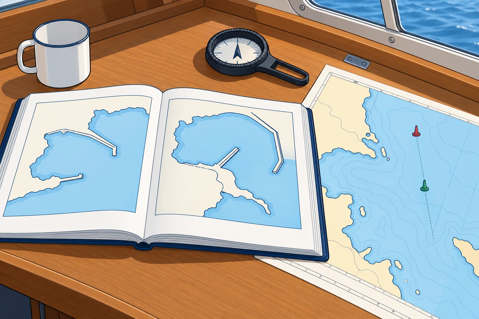
Read a pilot-book passage twice, with the chart beside it. Check the date and the corrections, and compare with the latest chart and notices: harbours change. Translate key sentences into your own words before you act.
2Key data
- Dries 1.5 m
- Top 1.5 m above chart datum; exposure depends on tide
- Foul ground
- Seabed obstructions that can snag anchors or fishing gear
- Leading line (US: range)
- Two marks in line that lead you in
- Holding
- How well an anchor grips the bottom
- Accommodated alongside
- Berthed beside the quay
- Reclaimed land
- Land won from the sea by filling
3Key points
- 1
‘Dries 1.5 m’ is a drying height above chart datum; ‘least depth’ is the shallowest sounding.
- 2
Foul ground can snag anchors. Overfalls form over shoals or obstructions, or where currents meet opposing wind or current.
- 3
A leading line (US: range) brings two marks in transit to lead you in.
- 4
Holding describes how well the anchor grips; alongside means beside the quay.
- 5
Read every passage twice, beside the chart, and check its date and corrections.
4Frequent mistakes
Wrong: ‘The rock dries 2 m’ means there is 2 m of water over it.
Right: Its top is 2 m above chart datum. It is exposed when the water level falls below its top.
Wrong: An ‘area being reclaimed’ is being dredged deeper.
Right: It is being filled in to make land: expect works and shallow water, not extra depth.
5Practice case & exam keys
The pilot book says: ‘Approach on the leading line 312°. Foul ground lies E of the line. Holding is good in sand off the beach, but a heavy swell sets in with SW winds.’ The forecast is south-west force 5. What does the passage tell you?
Show the answer
Come in with the two leading marks in line on a bearing of 312°. Foul ground east of the line can snag an anchor; check the chart for depths and other dangers. The sand off the beach holds well, but with a south-west wind a heavy swell will enter the bay, so it would be an uncomfortable and possibly unsafe anchorage tonight. Choose another shelter.
Exam keys
- Dries = height above chart datum; shoal; least depth; foul ground; overfalls.
- Conspicuous; leading line (US range); in transit; open of.
- Holding; alongside; bows-to and stern-to; reclaimed; prohibited anchorage.
- Read twice, with the chart, and check the edition and corrections.
Finish this unit
When you've read it, answer three questions. Get all three right to finish the unit; opening the page alone doesn't count.
My notes for this unit
No notes