

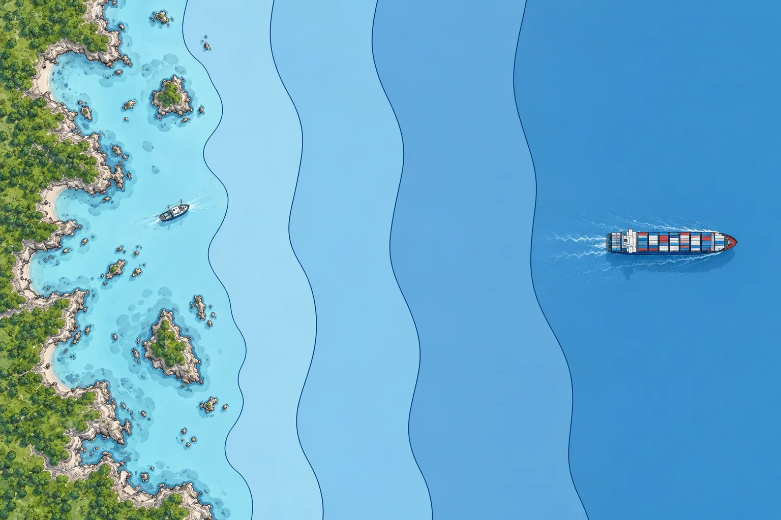
Baselines and the maritime zones of UNCLOS
1The lesson in plain words
Coastal distance limits use baselines. Each zone gives the coastal state different powers; shelf rights concern the seabed.
UNCLOS
The United Nations Convention on the Law of the Sea (UNCLOS) 1982 entered into force on 16 November 1994. It has more than 165 parties, including the EU. The United States is not a party, but it accepts most of the navigation rules as customary law, meaning rules arising from general state practice accepted as legally binding. UNCLOS sets out the zones, the rights of passage and the duties of flag states.
Baselines and internal waters
Coastal distance limits use the baseline. The normal baseline is the low-water line along the coast, as marked on the state's large-scale charts. Where the coast is deeply indented or fringed with islands, a state may draw straight baselines between points. Except under the archipelagic regime, waters landward of baselines, such as ports, bays and estuaries, are internal waters. There the coastal state has full sovereignty, and there is no general right of passage.
Territorial sea and contiguous zone
The territorial sea extends up to 12 NM from the baseline. The coastal state has sovereignty over the water, the seabed and the airspace, but foreign ships have the right of innocent passage. Beyond it, up to 24 NM from the baseline, a state may claim a contiguous zone. There it may act to prevent or punish breaches of its customs, tax, immigration and health laws committed in its territory or territorial sea.
EEZ and continental shelf
The exclusive economic zone (EEZ) extends up to 200 NM from the baseline. The coastal state has resource rights and specified jurisdiction; you retain navigation and overflight freedoms. The continental shelf covers seabed and subsoil, not the water above. It normally reaches 200 NM. Beyond 200 NM, article 76 uses geological criteria and constraints of 350 NM or 100 NM beyond the 2,500 m isobath, a line joining points 2,500 m deep. Special limits apply to submarine ridges. Extended limits are established on recommendations from the UN shelf commission.
High seas and the Area
Beyond the EEZ lie the high seas, open to all states. The seabed beyond any continental shelf is the Area. Its minerals are the common heritage of mankind and are managed by the International Seabed Authority. The BBNJ Agreement on marine biodiversity beyond national jurisdiction entered into force on 17 January 2026. It allows marine protected areas on the high seas.
2Key data
- Territorial sea
- Up to 12 NM from the baseline
- Contiguous zone
- Up to 24 NM from the baseline
- EEZ
- Up to 200 NM from the baseline
- Extended continental shelf
- Art. 76: 350 NM or 100 NM beyond 2,500 m isobath; special limits
- UNCLOS
- Signed 1982, in force 16 November 1994
- BBNJ Agreement
- In force 17 January 2026
3Key points
- 1
Measure territorial-sea, contiguous-zone and EEZ distance limits from the baseline.
- 2
Internal waters: full sovereignty, no general right of passage.
- 3
Territorial sea 12 NM, contiguous zone 24 NM, EEZ 200 NM.
- 4
In the EEZ the coastal state controls resources; you keep freedom of navigation.
4Frequent mistakes
Wrong: The EEZ is part of the coastal state's territory.
Right: The EEZ gives rights over resources and some jurisdiction. Navigation remains free, as on the high seas.
Wrong: The territorial sea is measured from the coastline at high water.
Right: It is measured from the baseline: normally the low-water line, or straight baselines where allowed.
Wrong: In the contiguous zone the coastal state can enforce all its laws.
Right: These powers concern customs, tax, immigration and health laws, to prevent or punish breaches in the state's territory or territorial sea.
5Practice case & exam keys
Your ship is 18 NM from the coastal state's baseline, outside its territorial sea but inside its claimed contiguous zone. Customs orders you to stop after observing an unlawful transfer of goods inside the territorial sea. May it act?
Show the answer
Yes. You are inside the claimed contiguous zone, within 24 NM of the baseline. Article 33 allows customs action to punish a breach committed in the state's territorial sea. Comply and record events. These contiguous-zone powers would not cover a fishing-gear breach; separate EEZ resource powers may apply in the same waters.
Exam keys
- Baseline: low-water line; straight baselines for indented coasts.
- Territorial sea 12 NM (sovereignty); contiguous zone 24 NM (customs, tax, immigration, health).
- EEZ: resource rights to 200 NM; extended shelf: seabed/subsoil, article 76 limits and UN commission review.
- High seas free to all; the Area managed by the ISA; BBNJ in force 17 January 2026.
Finish this unit
When you've read it, answer three questions. Get all three right to finish the unit; opening the page alone doesn't count.
My notes for this unit
No notes