

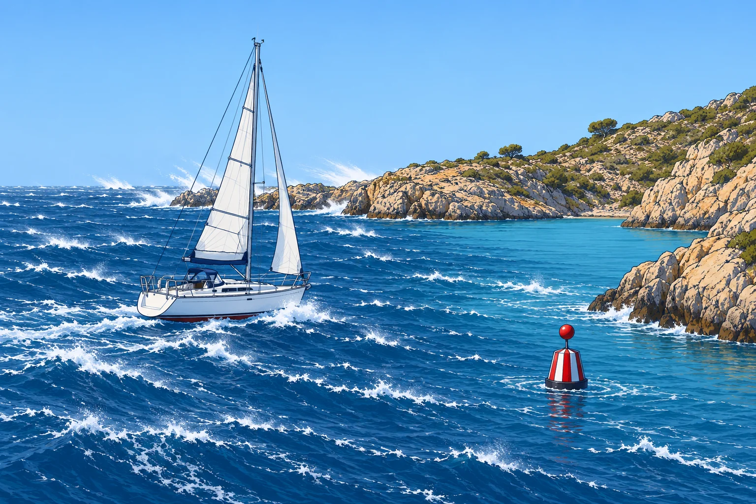
Named winds of the Mediterranean
1The lesson in plain words
Recognise the Mediterranean's named winds by their usual direction, region and weather. Check local forecasts and warnings before you sail.
Mistral and tramontana
The mistral is a cold north to north-west wind down the Rhône valley into the Gulf of Lion. It blows with high pressure over the Bay of Biscay and a low over the Gulf of Genoa. It often reaches force 6–8 with severe gusts and clear skies, lasting days or over a week. The tramontana is a cold northerly channelled between the Pyrenees and the Massif Central towards the Gulf of Lion and Catalonia, sometimes reaching the Balearics.
Bora
The bora (Croatian bura) is a cold, north-easterly fall wind on the eastern Adriatic coast, mostly in winter. Cold air over the interior spills over the coastal mountains. Its gusts are violent and can start with little warning on a clear day; at its strongest points, gusts above 100 knots have been measured.
Levante and poniente
The levante is an easterly in the Alborán Sea and the Strait of Gibraltar, with high pressure over the western Mediterranean and lower pressure to the west. Funnelling through the strait can raise it to strong or gale force, especially at its western end; it is moist and often hangs a cloud over the Rock of Gibraltar. The poniente is the westerly in the same area; Atlantic lows can drive strong episodes through the strait.
Meltemi
The meltemi (etesian winds) blows over the Aegean from about mid-May to mid-September. It is north-easterly in the north, northerly in the centre and north-westerly in the south. It often blows force 5–7, sometimes 8, under clear skies, usually strongest in the afternoon. It comes from high pressure over the Balkans against low pressure over south-west Asia.
Sirocco
The sirocco is a hot south to south-east wind from the Sahara, drawn north ahead of lows. It can bring dust and haze; after crossing the sea it becomes humid and may bring low cloud and rain. In the Adriatic, the south-easterly is called jugo. It often builds gradually and raises large seas over a long stretch of open water. Spain’s related leveche often blows from the south or south-west.
2Key data
- Mistral / tramontana
- N–NW, Gulf of Lion and Catalonia; high Biscay, low Genoa
- Bora (bura)
- NE fall wind, east Adriatic, mostly winter; violent gusts
- Levante
- E in Alborán and Gibraltar Strait; funnelled, moist
- Poniente
- W in Alborán and Gibraltar Strait; can strengthen with Atlantic lows
- Meltemi
- N in the Aegean, mid-May to mid-Sept; often force 5–7
- Sirocco / jugo
- S–SE from the Sahara ahead of lows; dust, then humid
3Key points
- 1
Mistral/tramontana: high over Biscay, low over Genoa; cold, clear, strong.
- 2
Bora: violent NE fall wind on the east Adriatic coast.
- 3
Levante easterly, poniente westerly: both funnelled at Gibraltar.
- 4
Meltemi: summer northerly in the Aegean, strongest in the afternoon.
- 5
Sirocco: warm southerly ahead of lows; dust, humid air and sometimes rain.
4Frequent mistakes
Wrong: Clear blue skies mean no strong wind in the Mediterranean.
Right: The mistral, tramontana, bora and meltemi often blow hard under clear skies.
Wrong: The meltemi always dies at night.
Right: It often eases at night, but in a strong spell it can blow day and night for several days.
Wrong: The sirocco is a cold wind from the Alps.
Right: The sirocco is a hot southerly from the Sahara. The cold northerlies are the mistral, tramontana and bora.
5Practice case & exam keys
You plan to cross from Barcelona to Menorca. The chart shows high pressure building over the Bay of Biscay and a low forming over the Gulf of Genoa. Skies are clear and the barometer is rising at home. What do you expect?
Show the answer
This pattern can bring mistral and tramontana, with strong, cold N–NW winds and steep seas towards Menorca despite clear skies. Check the route forecast and official warnings. Postpone if the expected wind and sea exceed your boat or crew’s limits; reassess when conditions improve.
Exam keys
- Mistral and tramontana: cold N–NW winds with high pressure over Biscay and a low over Genoa.
- Bora: cold NE fall wind of the Adriatic; meltemi: summer northerly of the Aegean.
- Levante (E) and poniente (W) at Gibraltar; sirocco: hot S–SE wind from the Sahara.
Finish this unit
When you've read it, match the terms, then answer three questions. Get them all right to finish the unit; opening the page alone doesn't count.
My notes for this unit
No notes