

Storm warnings: NHC and JTWC products and the 34-knot rule
1The lesson in plain words
Official advisories give the storm's position, track, wind radii and uncertainty. Use them to keep your boat out of the area of possible 34-knot winds.
Forecast centres
The World Meteorological Organization (WMO) coordinates warnings through Regional Specialized Meteorological Centres (RSMCs) and Tropical Cyclone Warning Centres (TCWCs). RSMCs include Miami, Honolulu, Tokyo, New Delhi, La Réunion and Nadi. The US National Hurricane Center (NHC) now handles Atlantic, eastern-Pacific and central-Pacific tropical products. Central Pacific Hurricane Center (CPHC) headers remain in 2026. The US Joint Typhoon Warning Center (JTWC) adds western Pacific and Indian Ocean guidance. NHC and JTWC use 1-minute mean winds; most other centres use 10-minute means, generally giving lower values.
The forecast advisory
NHC's Tropical Cyclone Forecast/Advisory (TCM) is the key text for mariners, in knots, nautical miles and UTC. It comes every 6 hours, at 0300, 0900, 1500 and 2100 UTC. It gives position, movement, peak wind and the wind radii: the greatest distance of 34-, 50- and 64-knot winds in each quadrant (NE, SE, SW, NW). Since 2025 it also gives the current maximum extent of 4-metre seas by quadrant.
Radii and the cone
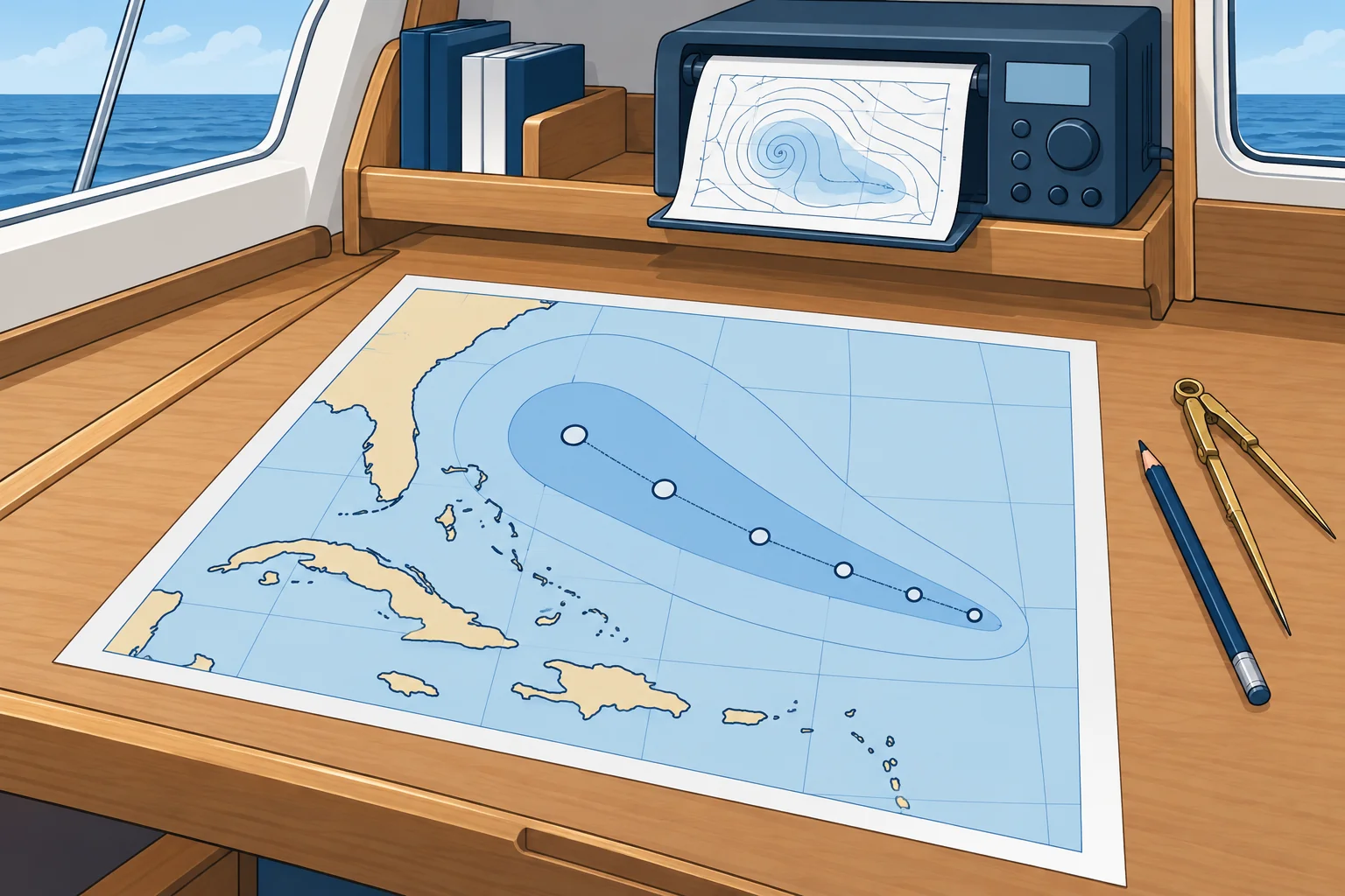
34- and 50-knot radii are forecast to 5 days and 64-knot radii to 3 days. Each is the farthest extent in that quadrant. The operational cone shows only where the centre may go: in 2026 its Atlantic circles are 39 miles at 24 hours, 62 at 48 and 95 at 72. These circles contain two-thirds of historical centre-position errors at each forecast lead time.
From 1-2-3 to the 34-knot rule
The old mariner's 1-2-3 rule added 100, 200 and 300 miles to the 34-knot radius at 24, 48 and 72 hours, and avoided the lot. It assumed errors of about 100 miles a day. Errors are now far smaller, so NHC no longer endorses it. Today's 34-knot rule: stay out of the area where 34-knot winds are possible. US Navy ship routers avoid a chance of over 5 %.
The danger graphic
NHC publishes the Tropical Cyclone Danger Graphic. It shows where tropical-storm-force winds are possible (at least 5 %) or likely (at least 50 %) over 72 hours. It is updated four times a day. JTWC's warning graphic shows a similar danger area. Do not rely on outrunning a cyclone. For a yacht, use lower wind and sea limits when needed; being outside this area does not guarantee suitable conditions.
Worked closest approach
Your time-matched plot puts the centre 120 nautical miles (nm) east and 240 nm north of your boat at 24 hours, then 120 nm west and 240 nm north at 48 hours. Assuming straight, steady relative motion, closest point of approach (CPA) is halfway between: 36 hours, 240 nm. With a forecast 34-knot radius of 180 nm in your quadrant then, nominal clearance is 60 nm. That is not a safety margin: check wind probabilities and allow generously for uncertainty.
2Key data
- TCM issue times
- 0300, 0900, 1500, 2100 UTC (every 6 hours)
- Wind radii
- 34/50 kn to 5 days; 64 kn to 3 days (since 2025)
- 2026 Atlantic operational cone circles
- 39 / 62 / 95 nm at 24 / 48 / 72 h (two-thirds of errors)
- Old 1-2-3 rule
- 34-kn radius + 100 / 200 / 300 nm at 24 / 48 / 72 h
- 34-knot rule
- Avoid where 34-kn winds are possible (US Navy: over 5 %)
- Danger Graphic
- 34-kn winds possible (5 %) and likely (50 %), 72 h, 4 times a day
3Key points
- 1
Use the forecast advisory (TCM) for position, track and wind radii; it is in knots, miles and UTC.
- 2
A wind radius is the farthest extent of that wind in one quadrant.
- 3
The cone describes centre-position uncertainty, not wind extent or a safe boundary.
- 4
The 1-2-3 rule is outdated; today avoid the area where 34-knot winds are possible.
- 5
JTWC uses 1-minute winds; most RSMCs use 10-minute means, generally giving lower values. Intensity estimates also differ.
4Frequent mistakes
Wrong: Outside the cone you are safe from the storm.
Right: The cone shows only centre-position uncertainty. Gales extend far beyond it, and its circles are not maximum error limits.
Wrong: The 34-knot radius means there are 34-knot winds everywhere within that distance.
Right: It is the farthest extent in that quadrant. Winds are not uniform, and other quadrants can be much smaller.
Wrong: JTWC and RSMC Tokyo disagree on the wind, so one of them is wrong.
Right: JTWC uses 1-minute means and Tokyo 10-minute means. Longer averages generally give lower values; independent intensity estimates can also differ.
5Practice case & exam keys
The 72-hour forecast for a hurricane gives a largest 34-knot radius of 200 miles. A crew member applies the 1-2-3 rule and wants to stay 500 miles from the forecast centre, which would cost two days. You have the latest Danger Graphic. What do you explain?
Show the answer
The old rule gives 200 + 300 = 500 nautical miles, based on an assumed 300-mile error at 72 hours. The 95-mile cone circle is not a maximum error. Use the Danger Graphic or 34-knot wind probabilities to see where tropical-storm-force winds are possible. Keep outside that area with a generous margin for a slow boat. Recheck with every update.
Exam keys
- TCM: every 6 hours at 0300, 0900, 1500 and 2100 UTC; 34-, 50- and 64-knot radii by quadrant.
- Operational cone circles contain two-thirds of historical position errors at each lead time; they do not show wind extent.
- 1-2-3 rule: add 100, 200, 300 nm to the 34-knot radius at 24, 48, 72 h; no longer endorsed by NHC.
- 34-knot rule: avoid the area of possible tropical-storm-force winds; Danger Graphic shows 5 % and 50 %.
Finish this unit
When you've read it, match the terms, then answer three questions. Get them all right to finish the unit; opening the page alone doesn't count.
My notes for this unit
No notes