

Weather routeing: aims, methods and who decides
1The lesson in plain words
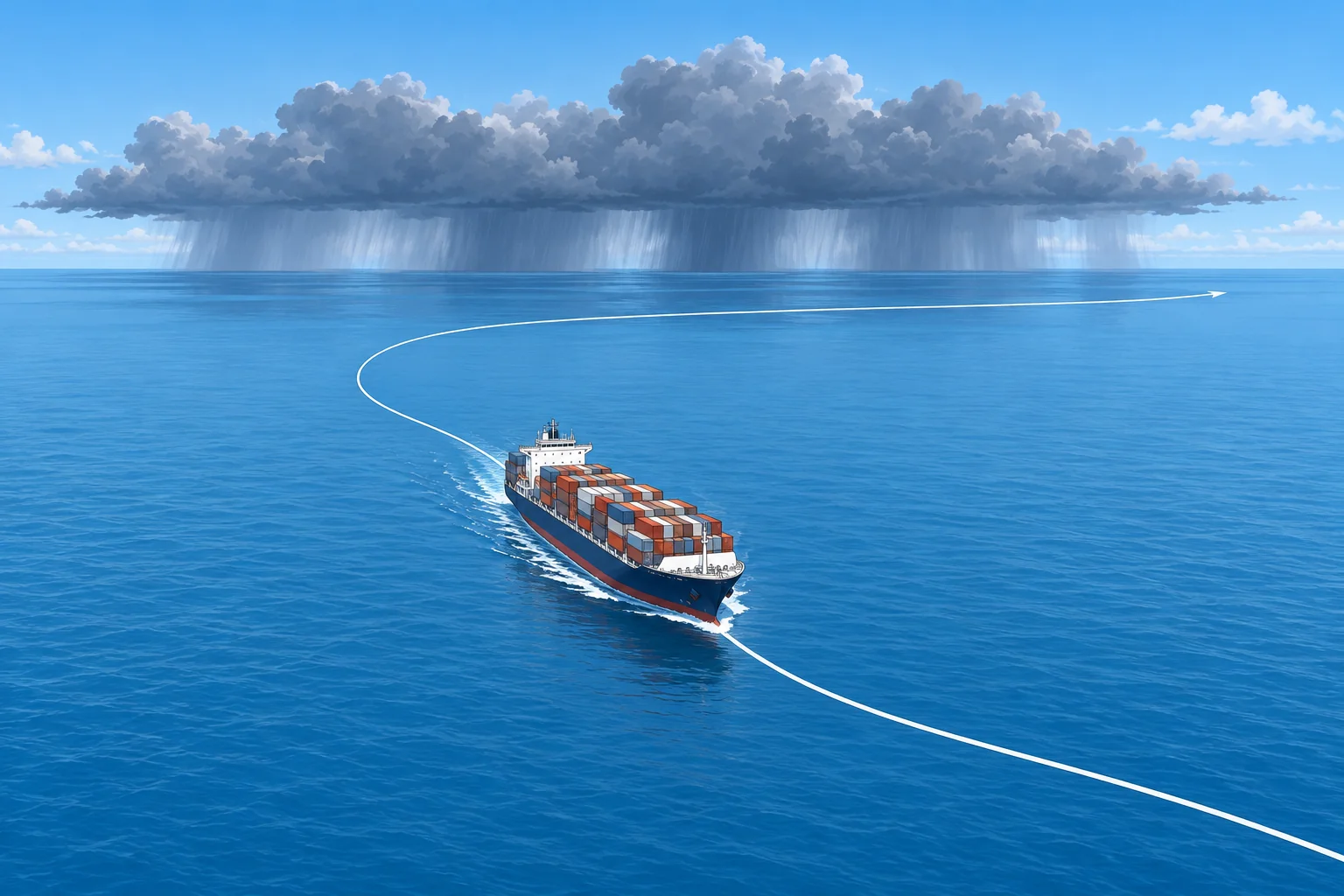
Weather routeing chooses a route and speed from the forecast wind, waves and currents. A router advises; the master still decides.
Two kinds of routeing
Climatological routeing plans with long-term averages: routeing charts, Ocean Passages for the World and seasonal limits, covered in Ocean passage planning. Real-time weather routeing uses the latest forecasts of wind, waves and currents for this voyage and updates the route as new forecasts arrive. On an ocean crossing they work together: climate sets the safe season and broad route, and forecasts shape the track day by day.
What the route optimises
A route is chosen for an aim, within limits. Least time arrives soonest. Least fuel, and so least emissions, often goes with a fixed arrival time, such as just-in-time arrival for a berth slot. Least damage keeps motions, slamming (heavy hull impacts against waves) and water on deck within what hull, cargo and crew can take. The limits come first: the wind and waves the ship can face, roll and acceleration limits, and ice or storm areas to avoid.
IMO and the services
IMO resolution A.528(13), the 1983 Recommendation on Weather Routeing, recognises that routeing can improve safety and asks governments to tell their ships about available services. Today, shore-based routeing services send a recommended route and updates by email, and many ships run onboard routeing software fed with forecast files and the ship's own speed and motion data. Both are only as good as the forecast and the ship model behind them.
The master decides
Routeing advice is advice. Under SOLAS V/34-1, the owner, charterer or anyone else must not prevent or restrict the master from taking any decision which, in the master's professional judgement, is necessary for safety or for protecting the marine environment. If a recommended route leads into seas you judge dangerous, change it and tell the router and the company why. Record your reasons in the log.
Into the voyage plan
SOLAS V/34 requires a voyage plan, following IMO's Guidelines for voyage planning, resolution A.893(21). A weather route is part of that plan: the track, waypoints, speeds and the weather limits that would trigger a change. Every change of route is a plan amendment, handled in the last lesson of this unit.
2Key data
- Climatological routeing
- Long-term averages: safe season and broad route
- Real-time routeing
- Latest forecasts, updated as each new forecast arrives
- Aims
- Least time, least fuel, least damage, fixed-time arrival
- IMO recommendation
- Resolution A.528(13), Recommendation on weather routeing (1983)
- Master's discretion
- SOLAS V/34-1: nobody may restrict decisions needed for safety
3Key points
- 1
Climate sets the season and broad route; real-time forecasts shape the track.
- 2
Every route serves an aim within limits: time, fuel or least damage.
- 3
Shore services and onboard software advise; under SOLAS V/34-1 the master decides.
- 4
The weather route is part of the SOLAS V/34 voyage plan.
4Frequent mistakes
Wrong: Using a routeing service transfers responsibility for safe navigation from the master.
Right: The router advises. The master remains responsible and must change the route when safety needs it.
Wrong: Real-time routeing makes routeing charts and seasons irrelevant.
Right: Forecasts reach only days ahead. Climate still sets the safe season and the broad route.
5Practice case & exam keys
Your router recommends a great-circle track across the North Pacific in January to save 14 hours for a charter deadline. The latest forecast shows a deep low crossing that track, with significant wave heights of 9 m two days ahead.
Show the answer
Weigh the route against your ship's limits, not the deadline. If the forecast seas exceed the limits in your voyage plan, choose a more southerly track or adjust speed to pass behind the low. Tell the router and company your decision and reasons. SOLAS V/34-1 protects your judgement on safety. Record the forecasts used and the reasons in the log.
Exam keys
- Climatological vs real-time routeing.
- Aims: least time, least fuel, least damage, within the ship's limits.
- A.528(13) recommends routeing; SOLAS V/34-1 keeps the decision with the master.
Finish this unit
When you've read it, match the terms, then answer three questions. Get them all right to finish the unit; opening the page alone doesn't count.
My notes for this unit
No notes