

AIS: classes, limits and good use
1The lesson in plain words
AIS shows many vessels by name, course and speed, sometimes beyond your view. Some are missing, and reports can be old or wrong. Keep a proper lookout.
What AIS is
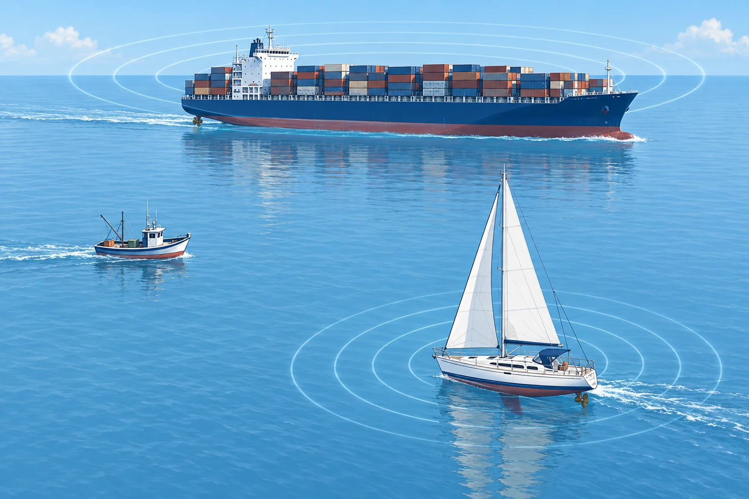
AIS (automatic identification system) broadcasts vessel data by VHF (very high frequency) radio. Static data includes name, size, type and MMSI (Maritime Mobile Service Identity), your nine-digit radio identity. These details are entered at installation. Dynamic data, including position, COG, SOG and heading, comes from GNSS and heading sensors. A receive-only set shows others; a transponder also broadcasts your data to them.
Class A and Class B
Ships required by the international Safety of Life at Sea convention (SOLAS) to carry AIS use Class A: 12.5 W, normally reporting every 2–10 seconds underway, with channel priority. Leisure boats commonly use Class B. CS (carrier sense, 2 W) reports every 30 seconds above 2 kn and can be crowded out. SO (self-organising, 5 W) reports as often as every 5 seconds at speed, more reliably. Below 2 kn, both report every 3 minutes.
What AIS does not show
Many craft have no AIS, or only a receiver: small boats, many fishing boats, warships. A transmitter can be switched off, set up wrongly or fed a false GNSS position. A Class B target can move a long way between reports. AIS does not show every danger or small craft. Keep the lookout that COLREG Rule 5 requires, and judge risk of collision as Rule 7 says, with all available means.
Using it well
AIS may show ships hidden from radar, but headlands can block VHF too. Names help with VHF calls. CPA (closest point of approach) and TCPA (time to CPA) assume both vessels maintain course and speed over the ground. After either vessel alters course or speed, displayed predictions may remain stale until new data arrives and the display recalculates. Assess risk with compass bearings or radar; never base avoiding action on AIS alone. Check your own static data.
Devices in the water
AIS-SART (search and rescue transmitter) and AIS MOB (man overboard) beacons send positions to nearby AIS receivers. Compatible displays show a circle with a cross; older equipment may show an ordinary target or message. Check compatibility. AIS-only beacons do not alert rescue centres by satellite; a PLB (personal locator beacon) or EPIRB (emergency position-indicating radio beacon) does. Some devices combine AIS and 406 MHz satellite alerting; others add DSC. Check your model.
2Key data
- Class A
- 12.5 W; 2–10 s underway; 3 min anchored/moored at ≤3 kn
- Class B CS
- 2 W; every 30 s above 2 kn; 3 min below
- Class B SO
- 5 W; every 30 s down to 5 s as speed rises; 3 min below 2 kn
- AIS-SART on screen
- Dedicated symbol on compatible displays: circle with a cross
- MMSI
- Nine-digit Maritime Mobile Service Identity
3Key points
- 1
Class A ships report every few seconds; Class B sets usually every 30 s underway; SO faster only at high speed.
- 2
Many vessels have no AIS, and data can be old, wrong or switched off.
- 3
CPA/TCPA assume both vessels keep course and speed; displayed predictions may use stale reports.
- 4
Confirm risk with bearings or radar; never decide an avoiding action from AIS alone.
- 5
AIS-only SART and MOB beacons alert nearby AIS receivers; combined devices may also alert by satellite.
4Frequent mistakes
Wrong: No AIS target on the screen means no vessel nearby.
Right: Many craft carry no AIS, and Class B sets can be crowded out. Keep a proper lookout by sight, hearing and radar.
Wrong: A CPA of 0.5 M means the ship will pass half a mile off.
Right: CPA assumes both vessels keep course and speed, and reports may be stale. Assess the developing risk with repeated compass bearings or radar.
Wrong: An AIS-only MOB beacon calls a rescue centre by satellite.
Right: It sends positions to nearby AIS receivers. A PLB or EPIRB alerts by satellite; some devices combine AIS with satellite alerting.
5Practice case & exam keys
In fog, your AIS shows a ship 4 M off with a CPA of 1.2 M. Radar shows the ship and also a second, smaller echo 2 M ahead with no AIS target.
Show the answer
AIS has missed one contact, so it cannot show the whole traffic picture. Assess both contacts with radar and a proper lookout. The displayed CPA assumes both vessels keep course and speed and may use stale reports. Keep checking the developing risk. Use AIS as supporting information, never as the sole basis for avoiding action.
Exam keys
- SOLAS AIS carriage requirement: Class A, frequent reports. Class B CS: 30 s; Class B SO: up to every 5 s at speed.
- AIS does not show every vessel, and its data can be late or wrong.
- CPA/TCPA assume both vessels keep course and speed; reports may be stale. Assess risk with bearings and radar.
- Compatible displays show the dedicated AIS-SART circle with a cross; older equipment may show an ordinary target or message.
Finish this unit
When you've read it, match the terms, then answer three questions. Get them all right to finish the unit; opening the page alone doesn't count.
My notes for this unit
No notes