

Radar overlay, ENCs and how good the chart is
1The lesson in plain words
Radar overlay is a quick check that position, chart and radar agree. Know why it slips, what ENC standards are coming, and how to tell how good a chart's survey is.
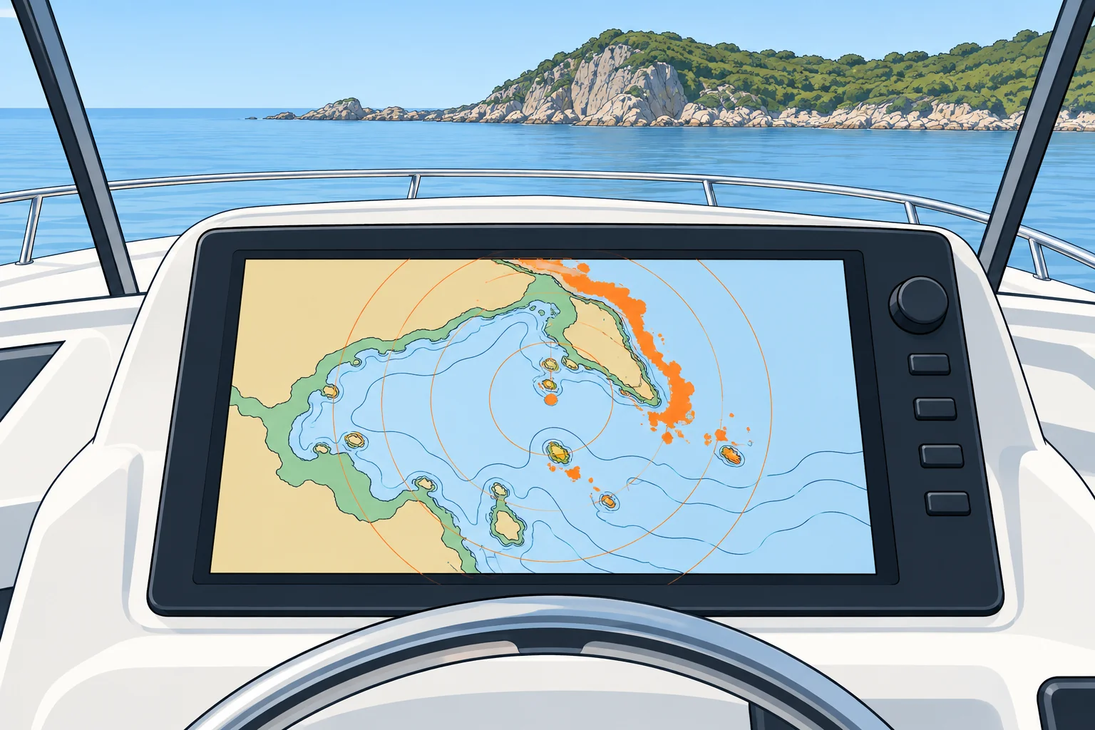
Radar overlay
Many plotters lay the radar picture over the chart. Radar measures ranges and relative bearings without GNSS, but the overlay uses position and heading inputs. Agreement at several identifiable, well-spread charted features supports those inputs; it does not prove them correct. A straight coast can hide an alongshore error. Check whether the heading source also uses GNSS. If anything disagrees, use raw radar ranges and a separate, checked compass to investigate. The Radar on a small vessel unit teaches the controls.
Why it slips
The radar image is turned to match the chart by the heading sensor (an electronic compass). If that sensor is wrong or slow, or the scanner was not mounted square to the bow, the echoes rotate away from the coast. A wrong GNSS position or chart datum shifts the whole picture sideways. A mismatch tells you something is wrong, but not what: check the radar alone, in head-up mode (bow at the top of the screen), against a known mark ahead.
From S-57 to S-101
Official ENCs (electronic navigational charts) come from hydrographic offices. S-57 is the established ENC standard; S-101 is its successor within the S-100 family from the International Hydrographic Organization (IHO). ECDIS means electronic chart display and information system. S-100 ECDIS may be installed from 1 January 2026; new installations must support S-100 from 1 January 2029. S-57 continues alongside, with no end date set.
Zones of confidence
CATZOC (category of zone of confidence) grades survey position accuracy, depth accuracy and seafloor coverage. A1 is best, followed by A2, B, C and D; U means unassessed. A1 and A2 have full seafloor searches; B does not guarantee one. The grade does not guarantee every danger has been found. A paper chart's source diagram shows survey dates and coverage. Allow wider margins where surveys are poor, old or unassessed.
Overscale
Zooming in past the scale the data was compiled for, called overscale or overzoom, only magnifies the same data. Many systems show a warning or a hatched pattern. Over a C or D zone at overscale, read a rock's charted edge as a wide zone, not a sharp line.
2Key data
- S-100 ECDIS allowed
- From 1 January 2026
- New ECDIS installations
- Must handle S-100 from 1 January 2029
- S-57 ENCs
- Stay in use alongside S-101; no end date set
- CATZOC assesses
- Survey position/depth accuracy and seafloor coverage
- Overlay rotated
- Suspect the heading sensor or scanner alignment
- Overlay shifted
- Suspect the GNSS position or chart datum
3Key points
- 1
Well-spread features support overlay inputs; a straight coast can hide an alongshore error. Check if heading uses GNSS.
- 2
A rotated overlay points to heading; a shifted one points to position or datum.
- 3
S-101 succeeds S-57; new ECDIS must handle S-100 from 2029.
- 4
CATZOC grades position/depth accuracy and seafloor coverage: A1 best, D poorest, U unassessed.
- 5
Overscale does not make data more accurate.
4Frequent mistakes
Wrong: When the overlay is off, rotate the radar until it matches the chart.
Right: First check the radar alone against a mark ahead. Adjusting it to fit the overlay can hide a GNSS or datum error.
Wrong: An accurate GNSS position makes any chart safe to follow closely.
Right: In a C, D or unassessed zone dangers may be far from their charted place. Give them a wide berth.
Wrong: S-57 charts stop working in 2029.
Right: From 2029 newly installed ECDIS must handle S-100, but S-57 ENCs stay in use alongside, with no end date set.
5Practice case & exam keys
The radar overlay has a constant angular rotation of about 10° clockwise from the charted coast; sideways separation grows with range. Two radar ranges to well-separated, identifiable charted objects agree with the GNSS position.
Show the answer
The independent ranges support your position; the rotated overlay suggests a heading or scanner-alignment error. The angular error stays constant while sideways separation grows with range. Check the radar's alignment against a known mark ahead. Until resolved, use radar ranges and bearings from a separate, checked magnetic compass.
Exam keys
- Overlay mismatch: rotation = heading problem; sideways shift = position or datum problem.
- S-100 ECDIS allowed from 2026; new ECDIS must handle S-100 from 2029; S-57 continues.
- CATZOC grades survey position/depth accuracy and seafloor coverage: A1 best, D poorest, U unassessed. Poorer surveys need wider margins.
- Overscale magnifies data; it does not add detail or accuracy.
Finish this unit
When you've read it, match the terms, then answer three questions. Get them all right to finish the unit; opening the page alone doesn't count.
My notes for this unit
No notes