

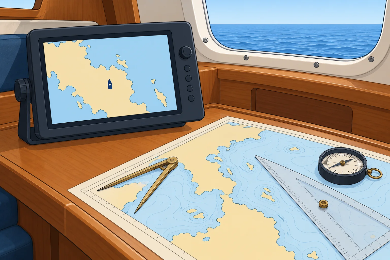
Jamming and spoofing: what to do in a real event
1The lesson in plain words
Jamming can degrade or remove your fix; spoofing can give you a false one. Know the symptoms, the instruments affected and the safe actions to take.
What has changed
Interference with satellite signals is now a routine hazard. In March 2025 the IMO, ICAO and ITU, the UN agencies for shipping, aviation and radio, jointly warned of a sharp rise in jamming and spoofing. In June 2025 an IMO circular letter warned of frequent disturbances in the Baltic, and in mid-June close to a thousand ships a day were affected in the Gulf and the Strait of Hormuz. The GPS basics unit lists the main hotspots.
Jamming or spoofing?
Jamming is radio interference that can degrade, freeze or remove a fix; alarms may be inconspicuous. Some plotters keep estimating, so the screen may look normal. Spoofing sends false signals that can make a position jump or drift. Several receivers can accept the same false position; agreement does not rule it out. Compare with independent observations such as radar, depth or bearings, and keep checking fix status.
What it reaches
A false position can spread into everything fed by GNSS: the plotter, the autopilot in track mode (steering to waypoints), your AIS (automatic identification system) position on other ships' screens, the position in a DSC (digital selective calling) distress alert from the VHF, and the clock. An autopilot following a route from a spoofed position can steer confidently the wrong way. Know which instruments take GNSS data.
Plan and report
Before sailing, read navigational warnings for interference or testing. Log and report the time, position and symptoms to the coastguard or national authority; in the US, use the Coast Guard Navigation Center (NAVCEN). Galileo's OSNMA (Open Service Navigation Message Authentication), in service since July 2025, authenticates navigation-message data on compatible receivers. It helps detect some spoofing, but does not guarantee position accuracy or prevent jamming.
2Step by step
When you suspect jamming or spoofing
- 1
Leave track mode. Steer a safe heading using a checked, GNSS-independent compass, manually if needed; slow near hazards and increase clearance.
Track mode uses position data. Heading mode also needs a trustworthy heading input; a satellite compass may be affected.
- 2
Obtain an independent fix using suitable combinations of radar ranges, bearings or transits; cross-check with depth.
One bearing, transit or depth reading usually only constrains position. Independent observations help assess the GNSS position.
- 3
Plot the fix on paper and carry on by DR from it.
Dead reckoning from a known position does not depend on the satellites.
- 4
Do not delay a distress alert. Check or correct its position if practicable; give your independently assessed position or uncertainty by voice.
A false GNSS input can misdirect rescuers. Position checks must not delay an urgent alert.
- 5
Compare returning GNSS positions with independent observations before using them again, and continue checking.
Agreement supports the position but does not prove the received signals are genuine.
3Key data
- Joint UN warning
- IMO, ICAO and ITU, March 2025
- Baltic warning
- IMO Circular Letter No. 5037, June 2025
- Gulf and Hormuz, mid-June 2025
- About 970 ships a day affected (Windward data)
- Galileo OSNMA
- Navigation-message authentication; initial service 24 July 2025
- Most reliable backups (IMO)
- Radar, nautical charts and the magnetic compass
4Key points
- 1
Jamming can degrade or remove the fix; spoofing can give a false position that looks normal.
- 2
Several receivers can be spoofed together: agreement does not rule it out.
- 3
A false position reaches the autopilot, AIS, DSC alerts and the clock.
- 4
Leave track mode; use a checked GNSS-independent compass; slow near hazards, increase clearance, then fix and use paper DR.
- 5
Check navigational warnings before sailing and report every event.
5Frequent mistakes
Wrong: If the plotter and the handheld GPS agree, the position is safe.
Right: Several receivers can be fooled together. Compare with suitable independent observations such as radar ranges and compass bearings; cross-check with depth.
Wrong: Keep the autopilot in track mode while you investigate.
Right: Leave track mode. Heading mode needs a trustworthy heading input from a checked, GNSS-independent compass; steer manually if needed.
Wrong: Press the DSC distress button and trust the position it sends.
Right: Never delay an urgent distress alert. If practicable, check or correct its position; give your independently assessed position or uncertainty by voice.
6Practice case & exam keys
At night, the plotter jumps 9 M inland, then 2 M north of your DR. The handheld GNSS agrees. The autopilot follows a route. Radar shows two well-separated, identifiable charted headlands at usable ranges; the nearer coast is 6 M away.
Show the answer
Suspect spoofing; both receivers may be affected. Leave track mode. Steer a safe course using a checked, GNSS-independent compass, manually if needed; slow near hazards. Obtain an independent radar-range fix and record it on paper. Carry on by DR, checking radar and depth. Log and report the symptoms to the coastguard. Compare GNSS with independent observations before using it again, and keep checking.
Exam keys
- Jamming can degrade or remove the fix; spoofing can produce a false position that looks normal.
- Agreement between GNSS receivers does not rule out spoofing.
- Leave track mode; use checked GNSS-independent heading; slow near hazards and increase clearance, then fix independently and use paper DR. Check DSC position if practicable; never delay distress alerting.
- Report interference; read navigational warnings before sailing.
Finish this unit
When you've read it, match the terms, then answer three questions. Get them all right to finish the unit; opening the page alone doesn't count.
My notes for this unit
No notes