

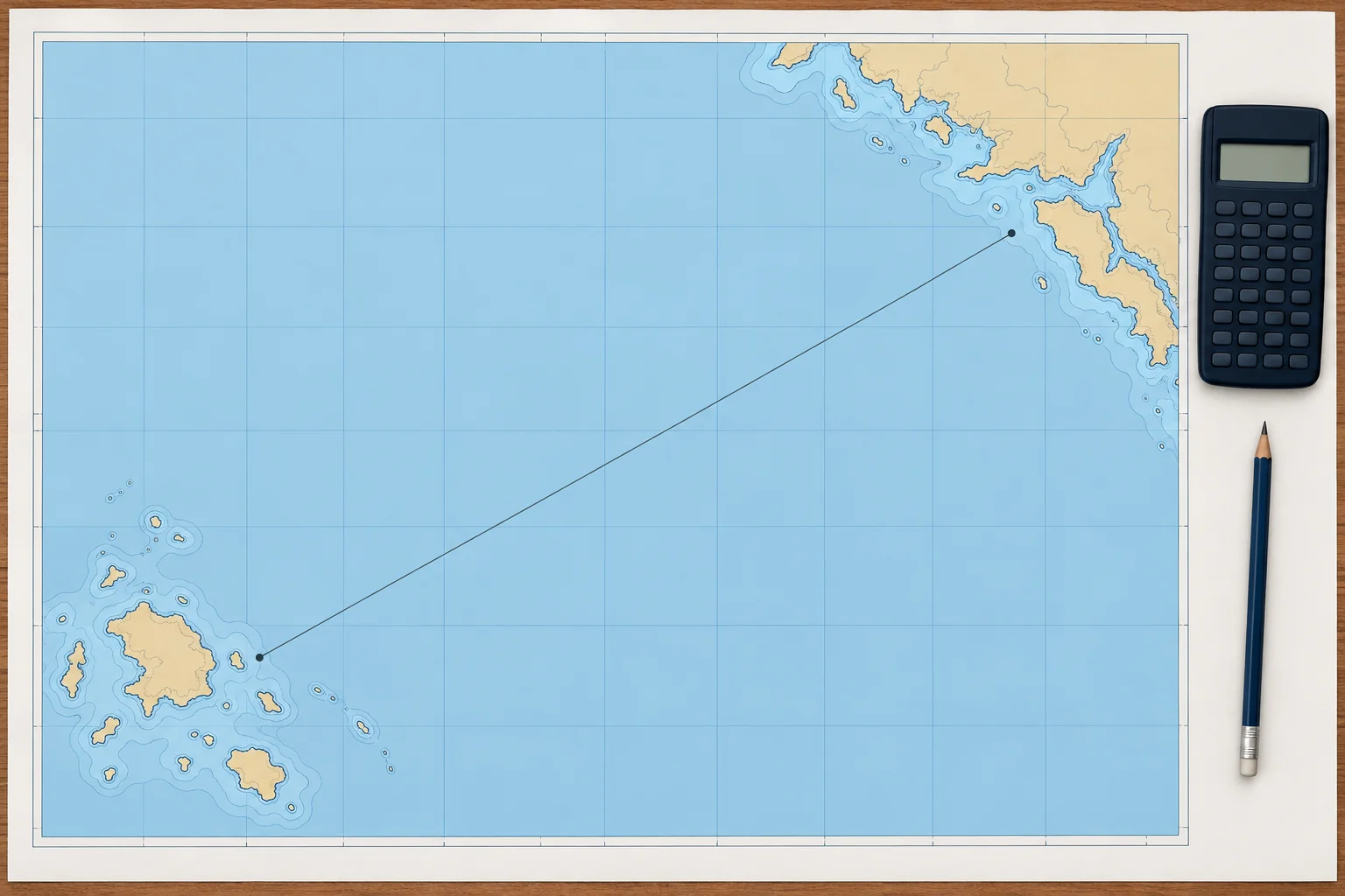
Worked: course and distance between two positions
1The lesson in plain words
Given where you are and where you are going, find d.lat, d.long and the mean latitude, then departure, then the course and the distance.
The method
Write both positions. Find and name d.lat and d.long. For equal latitudes, use parallel sailing: course 090° or 270° and distance = departure. Otherwise find mean latitude, then dep = d.long × cos(mean lat). Use C = arctan(dep ÷ d.lat), taking magnitudes. Name its quadrant from d.lat and d.long. Find distance = d.lat ÷ cos C, or dep ÷ sin C near east or west. Keep full calculator precision until rounding the final answers.
Example 1, the data
From 39°30.0′N 002°35.0′E, off Palma, to 40°00.0′N 003°50.0′E, off Ciutadella. d.lat = 30.0′ N. d.long = 1°15.0′ = 75.0′ E. Mean latitude = 39°45.0′N.
Example 1, the answer
Departure = 75.0 × cos 39°45′ = 75.0 × 0.7688 = 57.7 M E. Using unrounded departure, tan C = 1.9221, so C = N 62.5° E: course 062.5°. Distance = 30.0 ÷ cos 62.5° = 30.0 ÷ 0.4617 = 65.0 M. A quick check: 65 M at about 6 kn is about 11 hours.
Example 2, the data
From 36°30.0′N 006°20.0′W, off Cádiz, to 32°38.0′N 016°54.0′W, off Funchal. d.lat = 3°52.0′ = 232.0′ S. d.long = 10°34.0′ = 634.0′ W. Mean latitude = 34°34.0′N.
Example 2, the answer
Departure ≈ 522.1 M W. Keeping full calculator precision, C ≈ S 66.0° W, giving course 246° to the nearest degree and distance about 571 M. Spherical Mercator sailing gives 246.03° and 571.1 M for the same leg. The results are close, but mid-latitude sailing remains an approximation.
2Key data
- Order
- d.lat, d.long, mean lat → dep → course → distance
- Example 1
- Palma → Ciutadella: 062.5°, 65.0 M
- Example 2 working
- d.lat 232′ S, d.long 634′ W, dep 522.1 M W
- Example 2
- Cádiz → Funchal: S 66.0° W = 246°, about 571 M
- Mercator check (Example 2)
- Spherical Mercator check: 246.03°, 571.1 M
3Key points
- 1
Departure comes from d.long and the mean latitude.
- 2
The course angle is named by the names of d.lat and d.long: S and W give S x W.
- 3
Distance = d.lat ÷ cos C, or dep ÷ sin C near east or west.
- 4
Check the answer for sense on a small-scale chart or plotter.
4Frequent mistakes
Wrong: Divide d.long by d.lat to find the course.
Right: Convert d.long to departure first: tan C = dep ÷ d.lat.
Wrong: Name the course from the larger of d.lat and departure.
Right: The quadrant comes from both names: d.lat S and d.long W always give S x W, a course between 180° and 270°.
5Practice case & exam keys
From 43°00.0′N 009°30.0′W to 42°00.0′N 010°30.0′W, a crew member obtains 036.4°, 74.5 M. Accept it?
Show the answer
No. The distance is right, but the course must be southwest. d.lat = 60.0′ S; d.long = 60.0′ W; mean latitude 42°30′N. Departure = 60.0 × cos 42°30′ ≈ 44.2 M W. tan C = dep ÷ 60.0, so C ≈ S 36.4° W: course 216.4°. Using the unrounded angle, distance = 60.0 ÷ cos C ≈ 74.5 M.
Exam keys
- dep = d.long × cos (mean lat); tan C = dep ÷ d.lat; d = d.lat ÷ cos C.
- Name the course from the names of d.lat and d.long.
- Worked: Palma–Ciutadella 062.5°, 65.0 M; Cádiz–Funchal 246°, about 571 M.
- Mid-latitude sailing is often adequate for a few hundred miles; check the accuracy you need.
Finish this unit
When you've read it, match the terms, then answer three questions. Get them all right to finish the unit; opening the page alone doesn't count.
My notes for this unit
No notes