

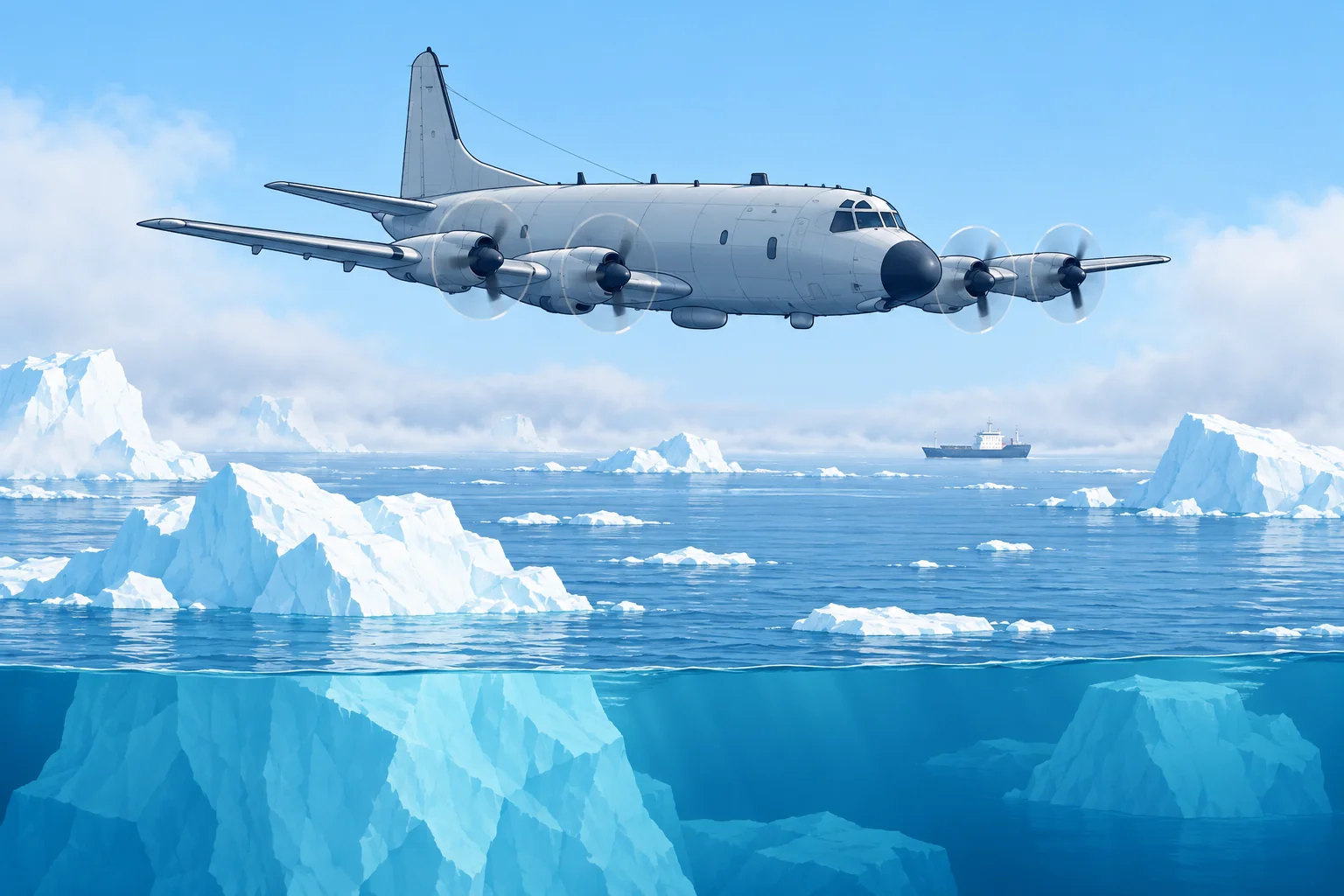
The International Ice Patrol and iceberg warnings
1The lesson in plain words
Since the Titanic, the International Ice Patrol has warned ships of icebergs off Newfoundland. Know its season, its products and how to report ice.
Why it exists
The International Ice Patrol (IIP) was formed after RMS Titanic sank on 15 April 1912, after striking an iceberg. Run by the US Coast Guard under SOLAS, the International Convention for the Safety of Life at Sea, it has monitored the iceberg danger around the Grand Banks of Newfoundland since 1913, except in wartime. The Labrador Current carries Greenland's icebergs south into the transatlantic shipping lanes there.
The iceberg season
IIP counts the icebergs that drift south of 48° N, about the latitude of St John's, Newfoundland. They usually threaten the shipping lanes from about February to August. IIP issues the warnings in that period; the Canadian Ice Service does so for the rest of the year. Both work together as the North American Ice Service (NAIS).
Severity
IIP grades a season by the number of icebergs south of 48° N: light up to 230, moderate 231–1,036, severe 1,037–1,398 and extreme above that. In the 2025 season, 250 icebergs drifted south of 48° N: a moderate season. That year IIP worked from satellites alone, without patrol aircraft, and found icebergs under 20 m long hard to detect.
The products
The Iceberg Limit estimates the limit of all known ice. The text bulletin is broadcast by Inmarsat SafetyNET in NAVAREA IV and NAVTEX. The chart is available by radiofax and online from the IIP website. Sightings and drift-and-melt modelling support both products. IIP strongly discourages navigating inside the limit using its products alone.
Reporting ice
Report every iceberg, or any stationary radar target that may be one, to IIP: position, time, size, shape and how you detected it. By Inmarsat-C, use special access code 42: the message is free. Southern Ocean ice has no equivalent patrol; check national ice services and current satellite ice reports.
2Key data
- IIP
- US Coast Guard under SOLAS; since 1913, after Titanic (1912)
- Area
- Grand Banks of Newfoundland; Labrador Current brings the bergs
- Season
- Icebergs south of 48° N, typically February – August
- 2025 season
- 250 icebergs south of 48° N: moderate
- Products
- Text: SafetyNET/NAVTEX; chart: radiofax/IIP website
- Reporting
- To IIP; Inmarsat-C code 42 is free
3Key points
- 1
IIP, run by the US Coast Guard under SOLAS, has watched for icebergs off Newfoundland since 1913.
- 2
The iceberg season, icebergs south of 48° N, typically runs from February to August.
- 3
The daily Iceberg Limit marks the estimated limit of all known ice.
- 4
Do not navigate inside the limit relying on the warnings alone.
- 5
Report icebergs to IIP; by Inmarsat-C, code 42 is free.
4Frequent mistakes
Wrong: Outside the Iceberg Limit there cannot be any ice.
Right: The limit covers known ice only. Undetected icebergs can lie outside it, so keep a lookout anyway.
Wrong: The Ice Patrol covers the whole North Atlantic and the Southern Ocean.
Right: It covers the area around the Grand Banks. Elsewhere use national ice services and satellite reports.
5Practice case & exam keys
In May you plan a passage from Halifax towards the Azores. The IIP chart shows the Iceberg Limit reaching 42° N, 47° W, south-east of the Grand Banks. A crew member suggests cutting the corner inside the limit to save a day. What do you decide?
Show the answer
Route south of the Iceberg Limit with a margin, even if it costs time. The limit is drawn from model-estimated positions, and IIP strongly discourages navigating inside it on its products alone. Receive the bulletin by SafetyNET or NAVTEX; obtain the chart by radiofax or from the IIP website. Keep a strict lookout near the limit, and report any ice you see by Inmarsat-C code 42.
Exam keys
- IIP: US Coast Guard, under SOLAS, formed after the Titanic sank in 1912; operating since 1913.
- Iceberg season: icebergs south of 48° N, typically February to August.
- Iceberg Limit: text bulletin by SafetyNET/NAVTEX; chart by radiofax or from the IIP website.
- Report ice to IIP; Inmarsat-C code 42 is free of charge.
Finish this unit
When you've read it, match the terms, then answer three questions. Get them all right to finish the unit; opening the page alone doesn't count.
My notes for this unit
No notes