

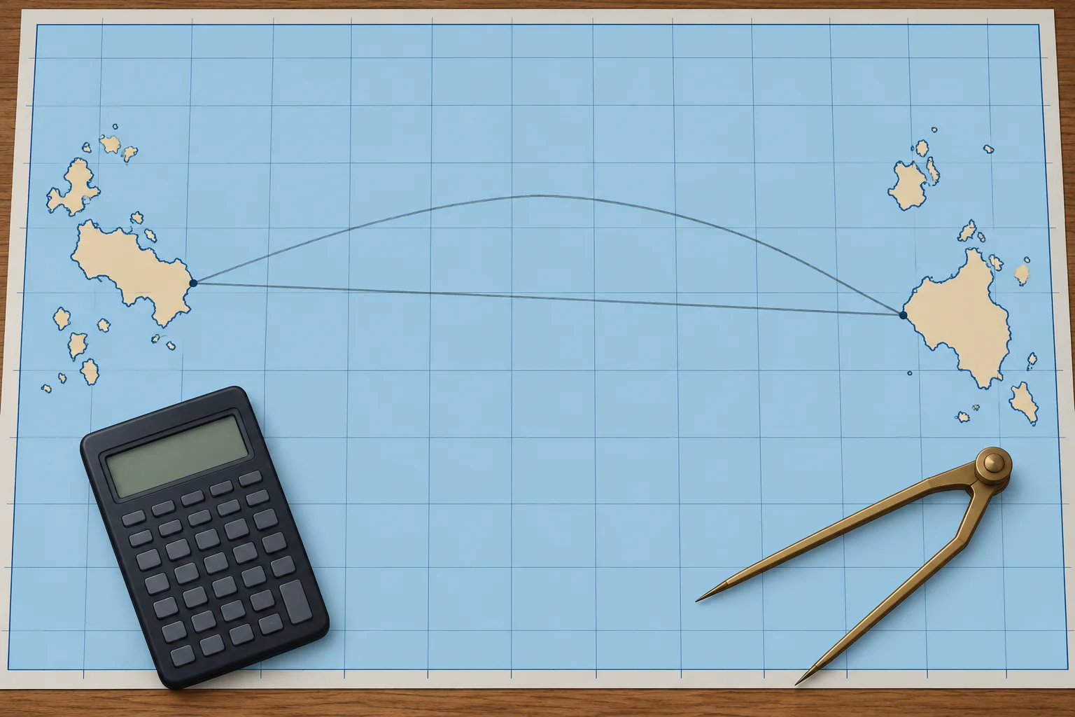
Worked: distance and initial course, Las Palmas to Saint Lucia
1The lesson in plain words
The spherical cosine formula gives the great-circle distance; a second formula gives the initial course. Work through an Atlantic crossing.
Distance
cos d = sin L1 × sin L2 + cos L1 × cos L2 × cos d.long. L1 is the departure latitude, L2 the destination's; give south latitudes a minus sign. d.long is the difference of longitude, never more than 180°. Turn d from degrees into minutes: each minute is a nautical mile, on a sphere.
Initial course
cos C = (sin L2 − sin L1 × cos d) ÷ (cos L1 × sin d). C runs from 0° to 180°, measured from north. Name it towards your destination: heading east, the course is C; heading west, it is 360° − C.
Worked: the data
From off Las Palmas, 28°07.6′N 015°25.4′W, to Rodney Bay, Saint Lucia, 14°05.0′N 060°58.0′W. d.long = 45°32.6′ W.
Worked: distance
sin 28°07.6′ × sin 14°05.0′ = 0.1147. cos 28°07.6′ × cos 14°05.0′ × cos 45°32.6′ = 0.5991. Sum 0.7138, so d = 44.455° = 2,667.3 M.
Worked: course
The cosine formula gives C = 98.7°. You are heading west, so the initial course is 360° − 98.7° = 261.3°T. By the time you arrive, the course has turned to 244.0°T.
Against the rhumb line
Mercator sailing gives the rhumb line as about 252°T for 2,677.1 M. The great circle saves only about 10 M, 0.4 %. On the WGS84 ellipsoid, the shortest distance is 2,671.7 M: spherical formulas are good to a few miles here.
2Step by step
Great-circle distance and initial course
- 1
Write both positions; find d.long and name it E or W.
d.long must be the short way round, not more than 180°.
- 2
cos d = sin L1 sin L2 + cos L1 cos L2 cos d.long; S latitudes negative.
The spherical cosine formula solves the triangle with the pole.
- 3
Multiply d in degrees by 60 to get nautical miles.
On a sphere, one minute of arc is one nautical mile.
- 4
cos C = (sin L2 − sin L1 cos d) ÷ (cos L1 sin d).
This gives the initial course angle from north, 0°–180°.
- 5
Name it: east-going C; west-going 360° − C.
The formula does not show which side of north you turn.
- 6
Compare with the rhumb line and check on a chart.
A gross error shows at once; the saving decides if it is worth it.
3Key data
- Distance
- cos d = sin L1 sin L2 + cos L1 cos L2 cos d.long
- Initial course
- cos C = (sin L2 − sin L1 cos d) ÷ (cos L1 sin d)
- Worked distance
- Las Palmas → Rodney Bay: 2,667.3 M
- Worked courses
- Initial 261.3°T; final 244.0°T
- Rhumb line
- About 252°T, 2,677.1 M: great circle saves about 10 M
- Ellipsoid check
- WGS84 shortest distance 2,671.7 M
4Key points
- 1
cos d = sin L1 sin L2 + cos L1 cos L2 cos d.long; south latitudes negative.
- 2
d in degrees × 60 = distance in nautical miles, on a sphere.
- 3
Initial course from the cosine formula; name it 360° − C when heading west.
- 4
Worked: 2,667.3 M, initial 261.3°T, final 244.0°T; rhumb 2,677.1 M.
5Frequent mistakes
Wrong: Use departure (miles) instead of d.long in the cosine formula.
Right: The formula needs d.long in degrees and minutes of arc, the angle at the pole.
Wrong: Take C = 98.7° as the course to steer.
Right: C is measured from north towards either side. Heading west, the course is 360° − 98.7° = 261.3°T.
Wrong: Give a south latitude a plus sign like a north one.
Right: Use a minus sign for south latitude, or the distance and course will be wrong for any route crossing the equator.
6Practice case & exam keys
A crew member works Las Palmas to Rodney Bay and gets 2,667 M and an initial course of 098.7°T. The distance looks right. Is the plan sound?
Show the answer
The distance is right, but the course points east of south-east, away from the Caribbean. The formula's C = 98.7° is measured from north; heading west, the course is 360° − 98.7° = 261.3°T. A quick look at the chart catches this: Saint Lucia lies to the west-south-west.
Exam keys
- cos d = sin L1 sin L2 + cos L1 cos L2 cos d.long; d × 60 = M.
- cos C = (sin L2 − sin L1 cos d) ÷ (cos L1 sin d); west-going: 360° − C.
- Worked: Las Palmas–Rodney Bay 2,667.3 M, initial 261.3°T, final 244.0°T.
- Rhumb line 2,677.1 M: saving about 10 M at this latitude.
Finish this unit
When you've read it, match the terms, then answer three questions. Get them all right to finish the unit; opening the page alone doesn't count.
My notes for this unit
No notes