

Squalls, squall lines, gust fronts and downbursts
1The lesson in plain words
The danger in a storm is often the wind that rushes out of it. Learn the cloud that marks the gust front and expect a sudden shift and a big gust.
What hits you first
Local winds gave the WMO definition of a squall. Under a thunderstorm, rain-cooled air sinks and spreads out at the surface as a cold outflow. Its leading edge is the gust front. It can arrive several kilometres ahead of the rain. As it passes, the wind jumps, often swings sharply to blow out of the storm, the temperature drops several degrees and the pressure jumps.
Squall lines
A squall line is a long line of thunderstorms, often tens to hundreds of kilometres long. It can form along or ahead of a cold front. Do not count on sailing round a long, approaching line; prepare early. Its broad cold outflow can extend across gaps in the rain. Lines often move faster than single storms and arrive with little warning at night. Expect gusts far above the forecast mean wind.
Arc and roll clouds
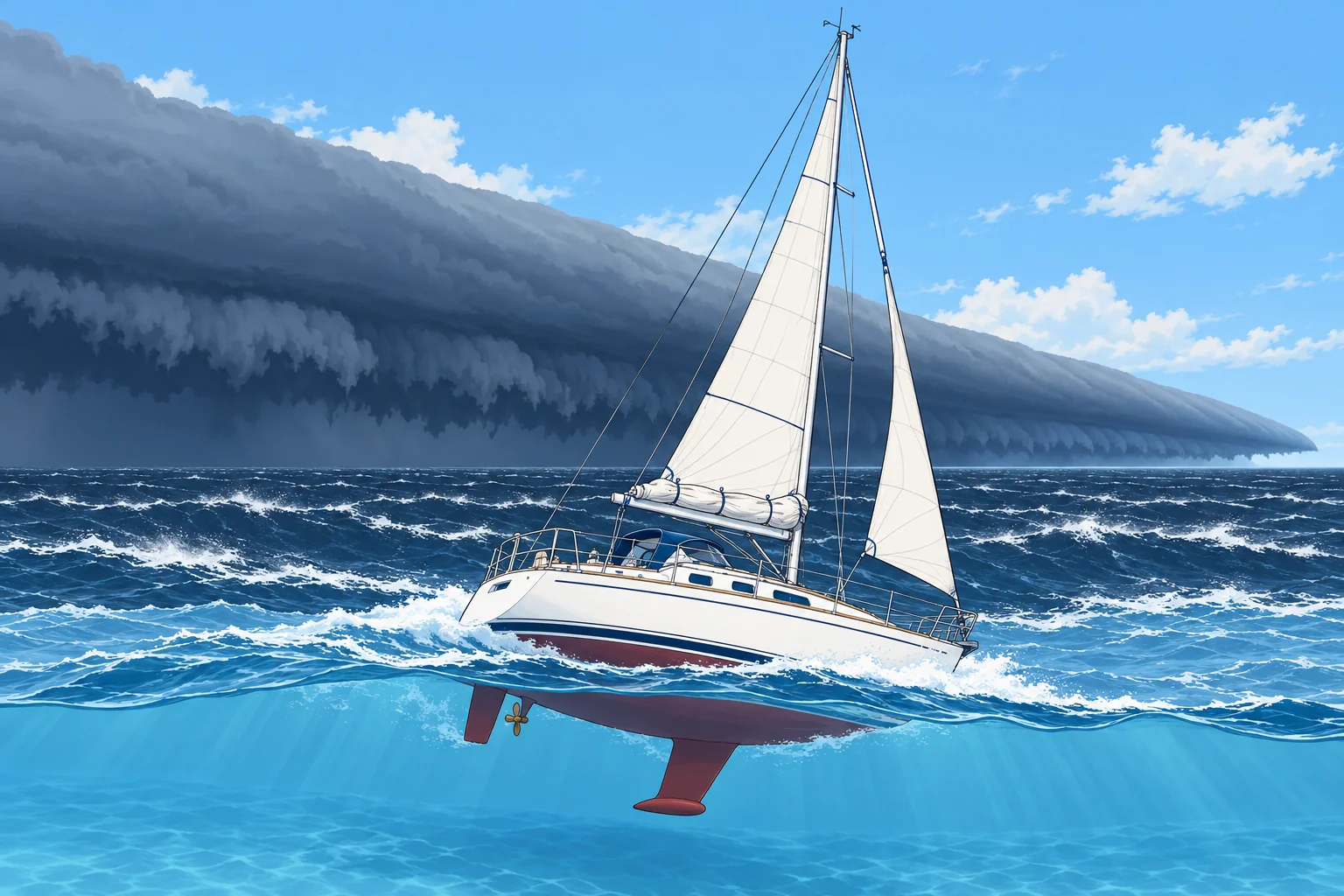
An arcus is a low cloud along the gust front. A shelf cloud is attached to the storm base: a dark, wedge-shaped bank, often with a smooth or layered front and ragged cloud below. A roll cloud is a separate horizontal tube of cloud ahead of the storm. With an approaching thunderstorm, either cloud can mark its gust front; watch its movement.
Downbursts
A downburst is a very strong downdraught that spreads out violently on reaching the sea. A microburst is less than 4 km across and lasts only about 5 to 10 minutes, but its winds can exceed 85 knots. A larger macroburst affects a wider area for longer. Look for a rain shaft spreading sideways and a ring of white spray racing outwards on the water.
How big the gusts are
Squall gusts of 30 to 50 knots are common even when the forecast mean is moderate. The US National Weather Service calls a storm severe when gusts reach 50 knots or more. The wind can shift 90° or more in seconds. Rain can cut visibility to a few hundred metres. After the squall the wind may drop sharply, then return.
2Key data
- Gust front
- Leading edge of cold outflow; can be km ahead of the rain
- At the gust front
- Wind jump and shift, temperature drop, pressure jump
- Microburst
- Under 4 km across, about 5–10 min; winds can exceed 85 kn
- Severe storm (US NWS)
- Gusts of 50 kn or more
- Typical squall gusts
- 30–50 kn, whatever the forecast mean
3Key points
- 1
The gust front can reach you before the rain, with a sudden wind shift.
- 2
A shelf or roll cloud associated with an approaching storm can mark its gust front.
- 3
Do not count on sailing round a long, approaching squall line; prepare early.
- 4
A microburst is small and brief but can exceed 85 knots.
- 5
Plan for 30–50 knot gusts in any thunderstorm squall.
4Frequent mistakes
Wrong: The strong wind starts when the rain starts.
Right: The gust front often arrives first, sometimes several kilometres ahead of the rain.
Wrong: Squall gusts will be a little above the forecast mean wind.
Right: Squalls can bring 30–50 knots or more on a day forecast as force 4. Reef for the squall, not the forecast.
Wrong: The calm after the squall means the danger is over.
Right: The wind can return quickly from a new direction, and another cell may follow. Keep the boat reefed until the line has passed.
5Practice case & exam keys
Close-hauled on starboard tack in a south-westerly force 4, you see a long, dark bank of cloud with a smooth, wedge-shaped front advancing from the west. Below it the sea looks dark and streaked white. Rain hangs further back. What is happening and what do you expect?
Show the answer
The wedge is a shelf cloud marking an approaching gust front. Expect a sudden wind increase and shift, probably towards the west as cold air flows out of the storm. Temperature should fall and pressure rise. Heavy rain and poor visibility may follow behind the wind.
Exam keys
- Gust front: cold outflow ahead of rain; wind jumps and shifts, temperature falls, pressure rises.
- Shelf and roll clouds associated with an approaching storm can mark its gust front.
- Do not count on sailing round a long, approaching squall line; its outflow can extend across rain gaps.
- Microburst under 4 km, 5–10 min, winds can exceed 85 kn.
Finish this unit
When you've read it, match the terms, then answer three questions. Get them all right to finish the unit; opening the page alone doesn't count.
My notes for this unit
No notes