

Chart datum, depths, drying heights and heights
1The lesson in plain words
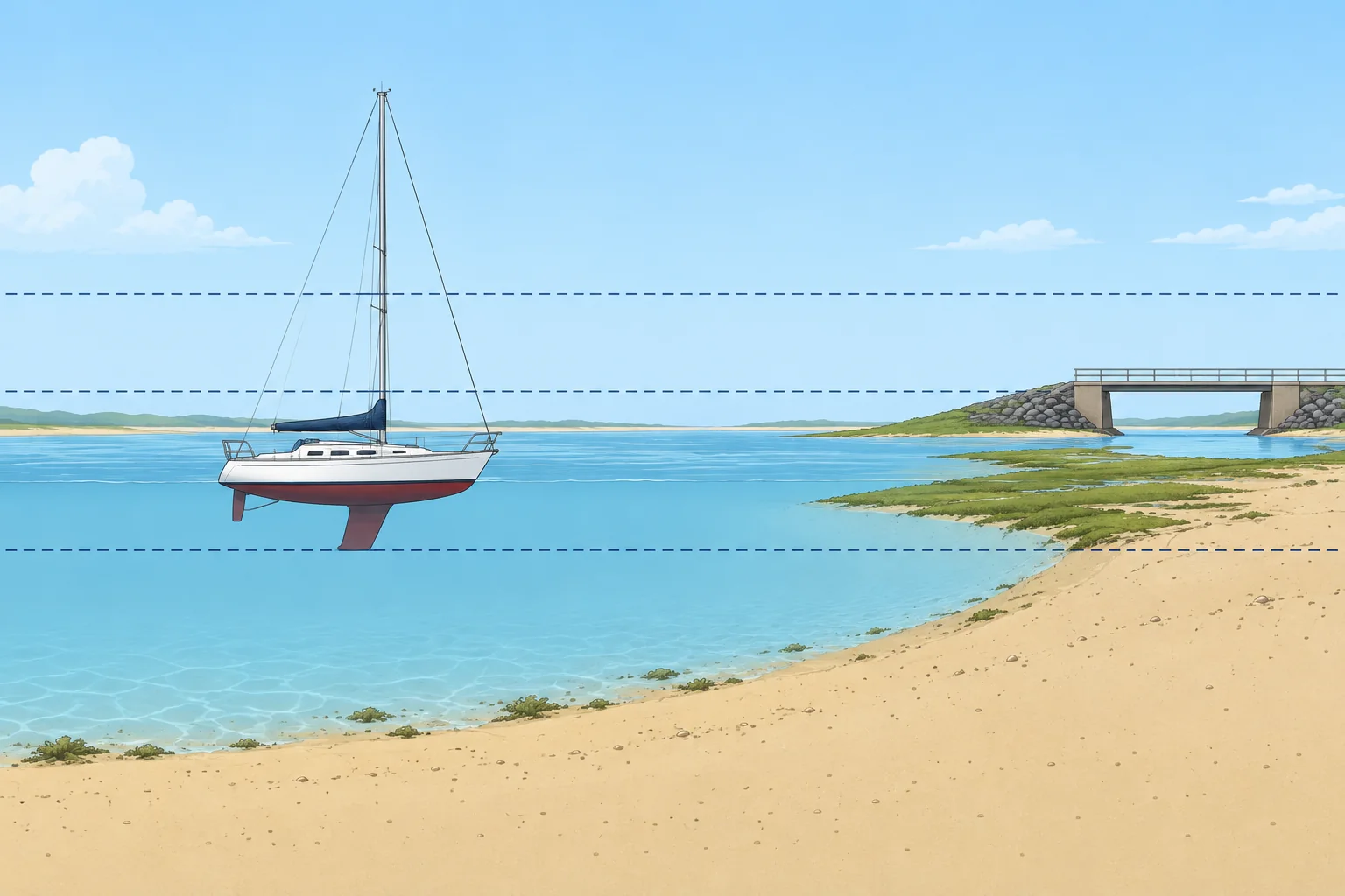
Depths are measured down from chart datum, drying heights up from it. Land, light and clearance heights use high-water levels. The title notes say which.
Chart datum
Chart datum (CD) is the level from which charted depths are measured. In tidal waters it is usually LAT, the lowest astronomical tide: about the lowest level the tide reaches in normal weather. So there is nearly always more water than charted, but high air pressure or offshore winds can push the sea lower. The title notes of each chart say which datum it uses.
Depths
A sounding is a charted depth below chart datum. Check the chart's stated units: metres, fathoms or feet. On a metric chart, a large 4 followed by a smaller 2 means 4.2 m. Depth contours join equal depths. Actual depth = charted depth + height of tide. The Tides and heights unit shows how to find the height of tide.
Drying heights
Areas that cover and uncover with the tide are usually coloured green. Their figures are drying heights, shown underlined: an underlined 2 with a small 1 means the seabed there stands 2.1 m above chart datum. With a height of tide of 3.0 m, that spot has only 0.9 m of water over it.
Heights and clearances
Land heights and light elevations (heights) use a stated high-water level, often MHWS (mean high water springs, average high water at spring tides). Modern Admiralty charts normally reference vertical clearances (room overhead) to HAT (highest astronomical tide, highest predicted astronomical tide level); other charts may use another level. Check every chart's notes. Weather can raise water above HAT and reduce clearance. For overhead power cables, use the stated safe clearance, allowing for electrical discharge, rather than physical height alone.
Keep a margin
Charted depths come from surveys that may be old or patchy, and sand moves. Keep a safety margin under the keel, larger over rock, in waves or where the survey is old.
2Key data
- Chart datum (tidal waters)
- Usually LAT, lowest astronomical tide
- Actual depth
- Charted depth + height of tide
- Water over a drying height
- Height of tide − drying height
- Light elevations
- Above a high-water level, usually MHWS
- Bridge and cable clearances
- Normally HAT on modern Admiralty charts; check every chart’s notes
3Key points
- 1
Depths are below chart datum, usually LAT in tidal waters.
- 2
Actual depth = charted depth + height of tide.
- 3
Underlined figures are drying heights above chart datum: water over = height of tide − drying height.
- 4
Heights often use MHWS; modern Admiralty clearances normally use HAT. Check every chart’s notes.
- 5
Read the chart's title notes for its datums and units.
4Frequent mistakes
Wrong: Chart datum is the average sea level.
Right: In tidal waters it is usually LAT, close to the lowest tide, so charted depths are a cautious minimum.
Wrong: There can never be less water than charted.
Right: High pressure, offshore winds, old surveys and moving sand can all leave less water than the chart shows.
Wrong: A bridge clearance is measured from chart datum.
Right: Use the chart's stated high-water reference: normally HAT on modern Admiralty charts. Check every chart's notes. Weather can reduce clearance; use the stated safe clearance for power cables.
5Practice case & exam keys
You plan to anchor for lunch where the chart shows 1.5 m. Your keel draws 1.8 m. The height of tide is 2.4 m at noon and falls to 0.6 m by 18:00. Is it a good spot for the afternoon?
Show the answer
At noon the depth is 1.5 + 2.4 = 3.9 m, leaving 2.1 m under the keel. By 18:00 it is 1.5 + 0.6 = 2.1 m, only 0.3 m under the keel, and less in any swell. That margin is too small: anchor in deeper water or leave well before the tide falls.
Exam keys
- Chart datum, usually LAT in tidal waters; depths are measured below it.
- Actual depth = charted depth + height of tide.
- Drying heights are underlined and measured above chart datum.
- Light elevations often use MHWS; modern Admiralty clearances normally use HAT. Check every chart's notes.
Finish this unit
When you've read it, match the terms, then answer three questions. Get them all right to finish the unit; opening the page alone doesn't count.
My notes for this unit
No notes