

Latitude and longitude: giving a position
1The lesson in plain words
Every point on Earth has a latitude north or south of the equator and a longitude east or west of Greenwich. Together they give a position.
Latitude
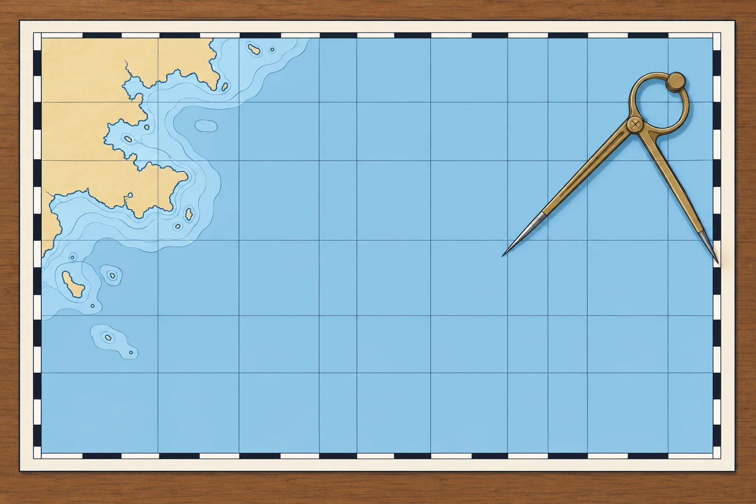
Latitude tells you how far north or south of the equator a place is, from 0° at the equator to 90° at each pole. Lines of equal latitude, called parallels, run east–west around the globe. Always add N or S. On a chart you read latitude on the latitude scale printed down the left and right edges.
Longitude
Longitude tells you how far east or west a place is from the prime meridian through Greenwich, from 0° to 180° E or W. The north–south lines joining the poles are meridians. Always add E or W. You read longitude on the scale along the top and bottom edges of the chart.
Degrees and minutes
Each degree has 60 minutes (′). Charts and plotters usually give minutes with decimals: 41°23.4′N 002°10.8′E. Each minute has 60 seconds (″): 41°23.4′N equals 41°23′24″N. Check which format your device uses before you copy a position. Give latitude first, then longitude, with three digits for the degrees of longitude.
The nautical mile
One nautical mile (M) is exactly 1852 m, approximately one minute of latitude. A cable is a tenth of a nautical mile, about 185 m. One nautical mile per hour is one knot (kn). A minute of longitude is only about a nautical mile long at the equator: meridians close up towards the poles, so longitude minutes get shorter towards either pole.
Plotting and reading
A position lies where its latitude parallel and longitude meridian cross; read latitude from the side scale and longitude from the top or bottom scale—the Chartwork unit covers the tools and method.
2Key data
- Nautical mile
- 1 nautical mile = 1852 m, approximately 1′ of latitude
- Cable
- 0.1 M, about 185 m
- Knot
- 1 nautical mile per hour
- Writing a position
- Latitude first: 41°23.4′N 002°10.8′E
- Ranges
- Latitude 0–90° N/S; longitude 0–180° E/W
3Key points
- 1
Latitude: 0–90° N or S of the equator, read on the side scale.
- 2
Longitude: 0–180° E or W of Greenwich, read on the top and bottom scale.
- 3
Write latitude first: 41°23.4′N 002°10.8′E. Check minutes-and-decimals against seconds.
- 4
1 nautical mile = 1852 m, approximately 1′ of latitude; a cable is 0.1 M.
4Frequent mistakes
Wrong: A minute of longitude is a nautical mile, just like a minute of latitude.
Right: Use latitude minutes for nautical miles in ordinary chartwork. Longitude minutes shrink towards the poles.
Wrong: 41°23.4′ and 41°23′40″ are the same position.
Right: 0.4′ is 24″, not 40″. Check whether your device shows decimal minutes or seconds.
Wrong: You can leave out N, S, E or W when everyone knows the area.
Right: Always give them. At the equator, 5°E and 5°W are about 600 nautical miles apart.
5Practice case & exam keys
A friend radios: they are at 39°34.5′N 002°38.0′E. You record them at 39°38.0′N 002°34.5′E. Before altering course to meet them, what must you check?
Show the answer
Do not use the recorded position yet. Read the received position back digit by digit and confirm it with your friend. You swapped the latitude and longitude minutes. Replot the confirmed position before altering course.
Exam keys
- Latitude 0–90° N/S from the equator; longitude 0–180° E/W from Greenwich.
- Latitude scale on the chart sides; longitude scale on the top and bottom.
- 1 nautical mile = 1852 m, approximately 1′ of latitude; 1 cable = 0.1 M; 1 knot = 1 M per hour.
- Write positions latitude first, longitude with three-digit degrees.
Finish this unit
When you've read it, match the terms, then answer three questions. Get them all right to finish the unit; opening the page alone doesn't count.
My notes for this unit
No notes