

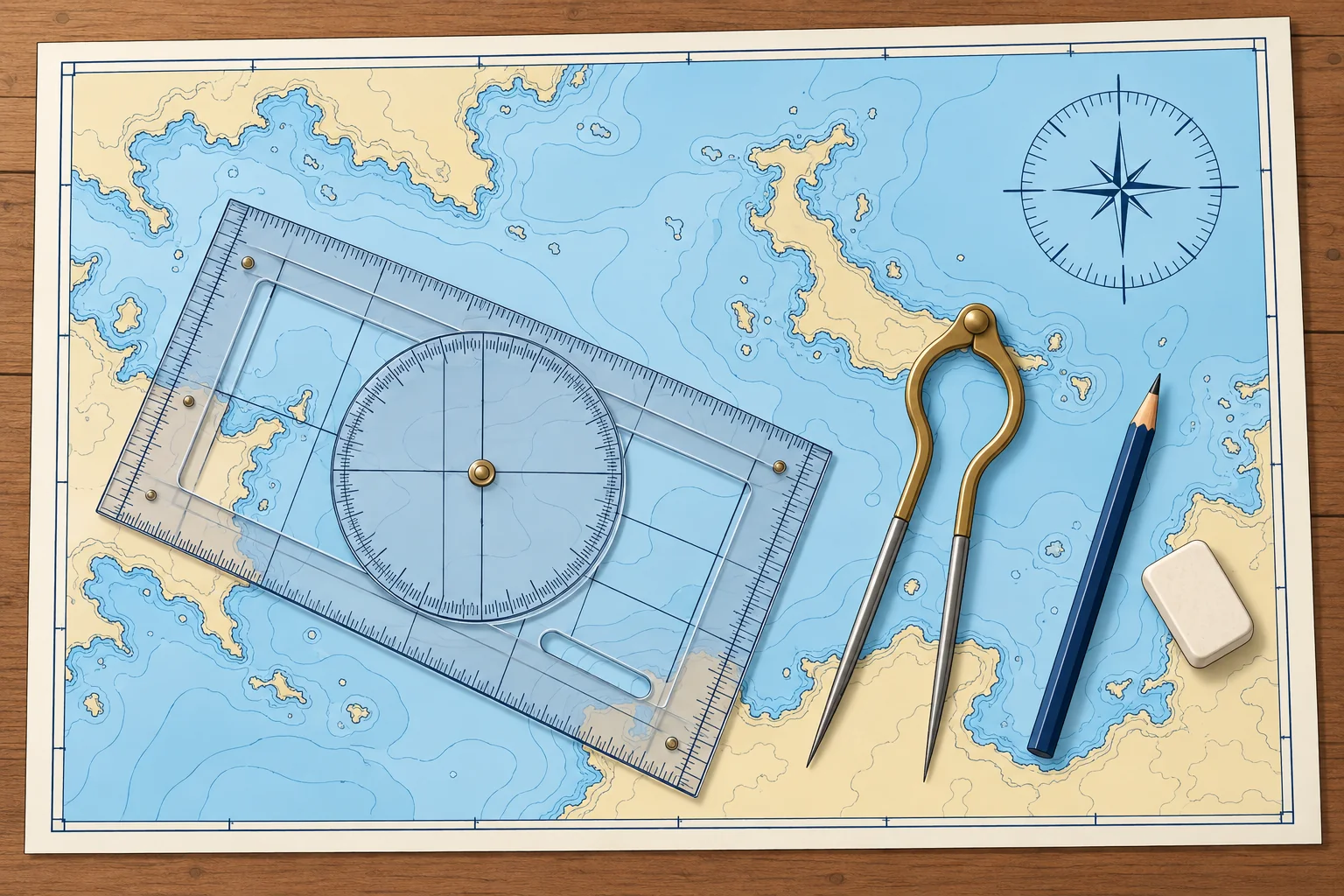
The chartwork tools: plotter, dividers and pencil
1The lesson in plain words
Chartwork needs only a few tools: a plotter to measure directions, dividers to measure distance, a soft pencil and a clean eraser.
The plotter
A plotter measures and draws chart directions. A Breton or Portland plotter has a rotating compass rose (direction scale). Lay its edge along your line, with its direction arrow pointing the way you want to measure. Turn the rose so its north–south grid lines follow a meridian (a chart longitude line), with the rose's north mark pointing to chart north. Read at the index mark.
Parallel rules
Ships and many older courses use parallel rules: two rulers joined by hinged arms. You walk them across the chart to the nearest compass rose printed on it, keeping the direction, and read the true direction on its outer ring. They are accurate on a large, flat chart table but slip on a small, moving one. With Spanish set squares, escuadra and cartabón, hold one fixed as a guide and slide the other along it to transfer the direction.
Dividers
Dividers have two sharp points. Open them across a distance on the chart, then carry them, without changing the opening, to the latitude scale beside it. One-handed dividers open and close with one hand, which helps on a moving boat. Keep the points sharp and the hinge stiff enough to hold its setting.
Pencil and eraser
Use a soft pencil, 2B or B, with a fine point, and a soft eraser. Hard pencils score the paper, and ink cannot be removed. Draw only the lines you need and rub out old work once it is finished, so the chart stays readable for years. Keep a watch or clock, the log reading and a notebook to hand.
Check by eye
Before you trust a measured direction, look at the line. A course running roughly south-west must read somewhere near 225°. The most common chartwork slip is reading the reciprocal, the opposite direction, 180° out.
2Key data
- Plotter
- N–S grid along a meridian, rose north to chart north; read at index
- Pencil
- 2B or B, sharp; soft eraser
- Distance
- Dividers on the latitude scale, level with the leg
- Spanish exam kit
- Escuadra, cartabón, compás (dividers) and a pencil
3Key points
- 1
Align the rose's north–south grid lines with a meridian, its north mark towards chart north.
- 2
Dividers carry a distance to the latitude scale beside the leg.
- 3
Use a soft, sharp pencil and rub out old work so the chart stays clear.
- 4
Check every measured direction against a rough estimate by eye.
4Frequent mistakes
Wrong: Align the plotter's grid with the edge of the chart table.
Right: Align the rose's north–south grid lines with a chart meridian, with its north mark towards chart north.
Wrong: Use a pen so the lines do not smudge.
Right: Use a soft 2B or B pencil. Lines must come off cleanly when the plan changes.
Wrong: Read the plotter and trust the number.
Right: Check the rough direction by eye first. A reading 180° out is the classic error.
5Practice case & exam keys
You lay a line from your harbour to a headland that is clearly to the south-west. The plotter reads 047°.
Show the answer
047° is north-east: the reciprocal of the direction you want. Point the plotter's direction arrow from the harbour towards the headland. Align the rose's north–south grid lines with a meridian, with its north mark towards chart north. Read again: about 227°T. Always compare the reading with a rough estimate.
Exam keys
- Plotter: edge on line, arrow along travel; north–south grid along a meridian, north mark to chart north; read at index.
- Parallel rules carry a direction to the chart's compass rose.
- Dividers measure distance on the latitude scale, level with the leg.
- Soft pencil, no ink; check every direction by eye.
Finish this unit
When you've read it, match the terms, then answer three questions. Get them all right to finish the unit; opening the page alone doesn't count.
My notes for this unit
No notes