

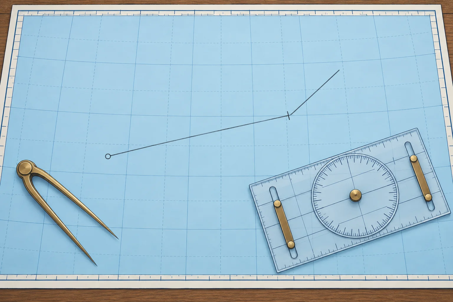
Dead reckoning: position from heading and distance
1The lesson in plain words
Dead reckoning works out your position from where you started, the heading you steered and the distance the log shows you have run.
What DR is
Dead reckoning (DR) estimates your position from a known start, heading and distance through the water. Lay off the direction you steered and the distance you ran. The result is a DR position. It leaves out the tidal stream (the horizontal flow of water caused by the tide), so it is only a first step.
What you need
Start with a position and time, ideally a fix (a position established from observations or a reliable position source). You need the heading (where the bow points) and distance through the water from the log, the boat's speed and distance instrument. Subtract the earlier log reading from the later one. Plot headings in degrees true (°T), measured from true north; see Compass course. M means nautical miles; kn means nautical miles per hour.
Plotting it
From the start, lay off the true heading with the plotter and mark the distance along it with the dividers. Apply leeway first if your course includes it in DR. Mark the end with the DR symbol and the time. Many UK courses use a short line across the track; Bowditch uses a semicircle. If you changed heading, plot each part in turn, each starting where the last one ended.
Leeway or not
Wind also pushes a boat sideways; that is leeway, in the next part. Courses differ on whether the DR line already allows for it: RYA courses apply leeway to the DR line, while Bowditch's DR uses the course steered only. All agree that a DR position never includes the tidal stream.
Limits of DR
A short DR run can stay close to your actual position when leeway and all currents are negligible. Weak tides do not guarantee weak currents: wind-driven and other currents also occur in the Mediterranean. Check your position whenever possible. Spanish PER chart exercises work the estima without wind or current; Patrón de Yate adds both.
2Key data
- DR from
- Start, true heading, log distance; leeway depends on convention
- Distance run
- Later log reading − earlier log reading
- Leaves out
- The tidal stream, always
- Spanish terms
- Estima (DR), corredera (log), rumbo verdadero (true heading)
3Key points
- 1
DR uses a start position, true heading and log distance; some schools include leeway.
- 2
Distance run is the difference between two log readings.
- 3
A DR position never includes the tidal stream.
- 4
When you alter course, plot each heading and distance in turn.
4Frequent mistakes
Wrong: Use satellite-navigation ground speed to work out the DR distance.
Right: DR uses distance through the water, from the log. Speed over the ground already includes the stream.
Wrong: A DR position is a reliable position.
Right: It leaves out the stream, and its errors grow with time. Treat it as a first step towards an estimated position.
5Practice case & exam keys
At 09:00 you fix your position; the log reads 31.4. You steer 135°T until 09:30 (log 34.4), then 090°T until 10:00 (log 37.2). A crewmate plots all 5.8 M on 090°T. Do you accept that DR?
Show the answer
No. The first 3.0 M were on 135°T, so one line on the final heading loses that leg. From the 09:00 fix, lay off 135°T for 34.4 − 31.4 = 3.0 M. From that endpoint, lay off 090°T for 37.2 − 34.4 = 2.8 M. The second endpoint is your 10:00 DR. Mark it with the DR symbol and time, and write it in the log.
Exam keys
- DR uses heading and distance through the water.
- DR never includes the tidal stream.
- Convert the heading to true before plotting.
- Distance run = difference of two log readings.
Finish this unit
When you've read it, match the terms, then answer three questions. Get them all right to finish the unit; opening the page alone doesn't count.
My notes for this unit
No notes