

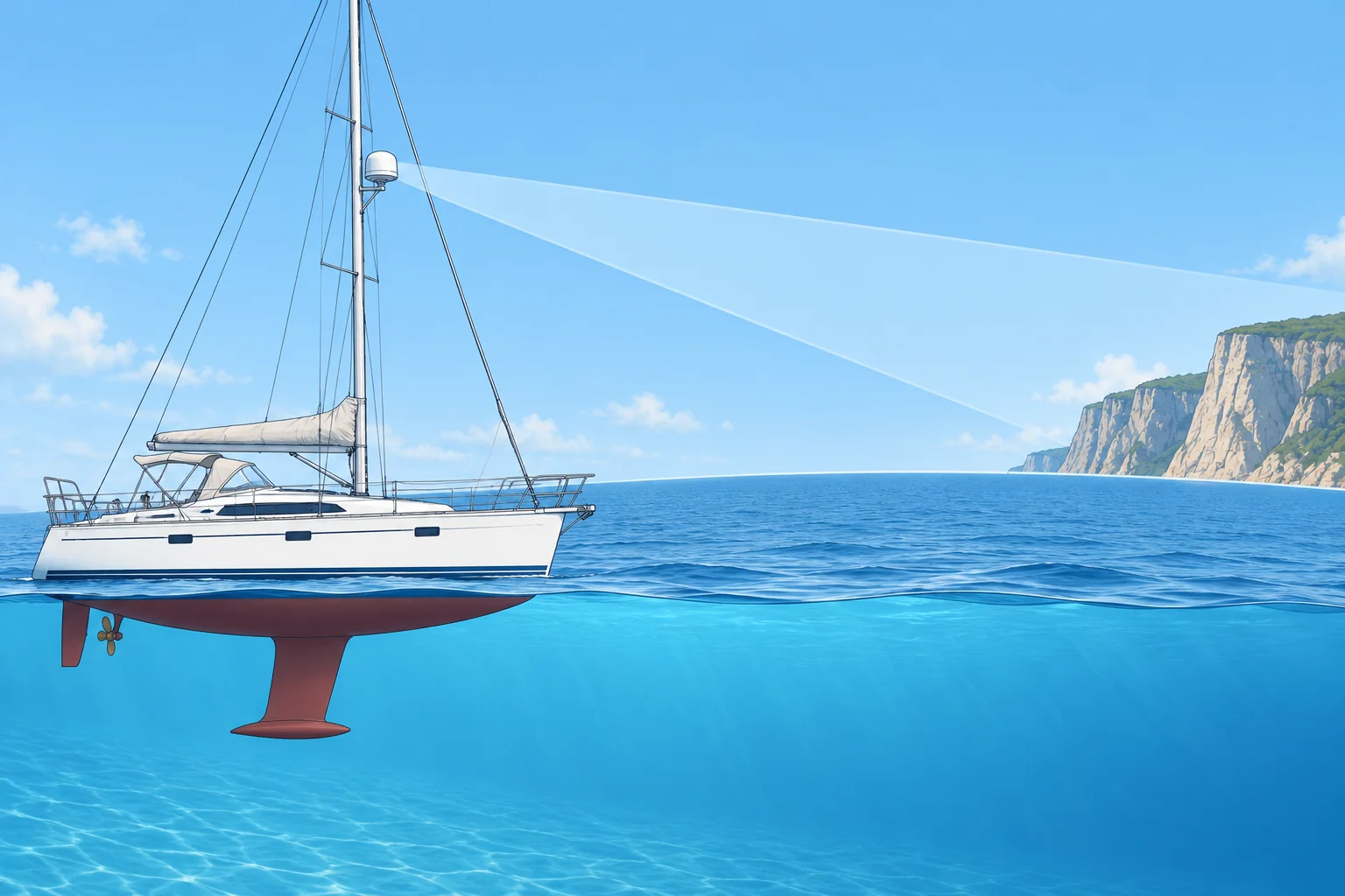
How a small-boat radar sees, and how far
1The lesson in plain words
Radar uses microwave echoes to measure range and bearing. Range is usually more precise; detection depends on height, reflection and conditions.
Echo timing
A radar sends microwave energy from a rotating aerial, the scanner, and listens for echoes. Radio waves travel at the speed of light, so the time an echo takes to return gives the range, the distance to the target. The direction the scanner points at that moment gives its bearing. Small-boat radars work in the X-band, around 9 GHz. Ships also carry S-band radars, around 3 GHz, which see better through rain but have bigger aerials.
Three kinds of set
A pulse radar (magnetron) sends short, powerful pulses. A broadband or FMCW radar (frequency-modulated continuous wave) sends a weak, continuous signal whose frequency sweeps up; it shows very close targets well and starts instantly. A solid-state pulse-compression radar sends longer, low-power coded pulses, then processes the echoes to separate targets close together in range. Many newer sets add Doppler colouring: echoes closing on you show in one colour, those opening in another.
Beam width and smear
The beam is narrow across but tall, so the boat can roll without losing the picture. Its horizontal beam width depends on aerial length: often about 4–5° for a 45 cm dome and about 2° for a 1.2 m open array. Each echo is smeared sideways by about the beam width, so bearings are less precise than ranges. Two boats close together at the same range can merge into one echo.
The radar horizon
Radar waves bend slightly with the atmosphere, so a radar sees a little beyond the visible horizon. The radar horizon in nautical miles (NM) is about 2.21 × √h, with h the aerial height in metres. A target is detectable out to about 2.21 × (√aerial height + √target height), if it reflects well. Unusual atmospheres change this: super-refraction stretches range, sub-refraction shortens it.
Worked example
Your scanner is 4 m above the sea. Your radar horizon is 2.21 × √4 = 2.21 × 2 = about 4.4 NM. A cliff 25 m high can show from about 2.21 × (2 + 5) = 15.5 NM. A low, smooth sandy shore in front of the cliff may give no clear echo until you are much closer.
2Key data
- Radar horizon
- About 2.21 × √h NM (h = aerial height in metres)
- Detection range
- About 2.21 × (√h aerial + √h target) NM, if it reflects well
- Small-boat band
- X-band, about 9 GHz (3 cm wavelength)
- Beam width
- About 4–5° for a small dome; about 2° for a 1.2 m open array
- Spanish terms
- Radar de impulsos, banda X, horizonte radar, eco
3Key points
- 1
Range comes from echo time and is accurate; bearing comes from the scanner and is smeared by the beam width.
- 2
Pulse, FMCW broadband and solid-state sets all show echoes, with different strengths close in and far out.
- 3
Radar horizon ≈ 2.21 × √h NM; a high target is seen further than a low one.
- 4
Higher ground inland may produce the first echo while the low shoreline remains invisible.
4Frequent mistakes
Wrong: Radar sees anything within its selected range.
Right: The selected scale does not guarantee detection. Height, obstructions, reflection and atmospheric conditions limit what you see.
Wrong: Radar bearings are as accurate as radar ranges.
Right: The beam smears each echo sideways. Use radar ranges with visual bearings for the best fix.
Wrong: The first echo of land is the charted coastline.
Right: The first echo is often higher ground inland. Check heights on the chart before using a range.
5Practice case & exam keys
At night, your chart shows a low beach 9 NM away and a 25 m hill 2 NM inland on the same bearing. A land echo appears at 11 NM. Your scanner is 4 m above the sea. Can you treat that echo as the shoreline?
Show the answer
No. The echo is consistent with the hill, within the combined radar horizon of about 15.5 NM. The low beach may return little or no echo. Confirm the bearing and shape before identifying the feature. Do not treat 11 NM as your distance from the beach. Use a radar range for navigation only after identifying the charted feature that produced it.
Exam keys
- Range from echo time; bearing from scanner direction; X-band about 9 GHz.
- Radar horizon ≈ 2.21 × √h NM, h in metres; add the target's term for detection range.
- Horizontal beam width smears bearings; vertical beam is wide to cope with roll.
- First land echo may be high ground behind a low coast.
Finish this unit
When you've read it, match the terms, then answer three questions. Get them all right to finish the unit; opening the page alone doesn't count.
My notes for this unit
No notes