
Meteorology · Level P3 · 6 parts · about 18 min
Weather observations and reports from ships
6 short parts: Why ships observe · Pressure and temp · Wind and waves · Visibility, cloud · Code and send · Danger messages. Each part explains the idea, then gives the points to remember, the common mistakes, a worked case and a practice question; the Academy unit adds all 36 check questions.
1 · Why ships observe
Why ships observe: SOLAS V/5 and the Voluntary Observing Ships scheme
Ships report the weather where few other surface observations exist. SOLAS V/5 asks governments to recruit them; the VOS scheme makes it work.
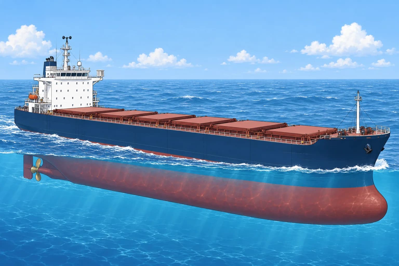
Why your report matters
Satellites see cloud and estimate wind, but they cannot measure surface air pressure well, and the open ocean has few other surface stations. Ship reports feed the computer models behind every forecast, check satellite data and go straight into warnings for ships nearby. One report from a quiet ocean, such as the Southern Ocean or the South Pacific, can be worth more than many from a busy coast.
The SOLAS duty
SOLAS regulation V/5 binds governments, not ships. They encourage ships to observe and arrange for selected ships to carry tested instruments: a barometer, a barograph, a psychrometer and sea-temperature apparatus. Those ships take, record and send observations at the main synoptic times, at least four times daily when circumstances permit. Other ships are encouraged to report in a simpler form, especially where shipping is sparse. Transmission is free of charge to the ship.
The VOS scheme
The Voluntary Observing Ships (VOS) scheme is run by the World Meteorological Organization (WMO) through National Meteorological Services (NMSs). Old classes were selected (full observations), supplementary (limited observations), auxiliary (basic observations using ship-owned instruments), and VOSClim (extra climate-quality data). The first, second and VOSClim classes became NMS Operated, with service-supplied instruments. Auxiliary became NMS Cooperative, recruited by an NMS but using ship-owned instruments. Independent ships observe without NMS recruitment.
Port Meteorological Officers
A Port Meteorological Officer (PMO) works for a national service in a port. PMOs recruit ships, supply and check instruments, compare the ship's barometer with a standard, train observers, set up the electronic logbook and collect the stored observations. If your barometer seems wrong or your reports will not send, ask the PMO at your next port.
When to observe
The main synoptic hours are 0000, 0600, 1200 and 1800 UTC; the intermediate hours are 0300, 0900, 1500 and 2100 UTC. Start about 10 minutes before the hour, observe the other elements first and read the barometer last, as close to the hour as you can. Near a tropical cyclone or other severe weather, the services ask for reports more often, whenever navigation allows.
Key figures
- Main synoptic hours
- 0000, 0600, 1200, 1800 UTC
- Intermediate hours
- 0300, 0900, 1500, 2100 UTC
- SOLAS V/5
- Governments encourage; selected ships report at least 4 times a day
- VOS classes now
- NMS Operated, NMS Cooperative, Independent
- Cost to the ship
- None: SOLAS V/5 makes transmission free to the ship
Remember
- Ship reports fill the gaps that satellites and land stations leave, above all for pressure.
- SOLAS V/5 obliges governments to encourage and equip observing ships; joining the VOS is voluntary.
- The PMO is your contact for instruments, software and training.
- Main synoptic hours 00, 06, 12, 18 UTC; intermediate 03, 09, 15, 21 UTC.
Common mistakes
Wrong: SOLAS V/5 obliges every ship to send weather reports.
Right: V/5 binds governments to encourage and equip ships. The VOS scheme is voluntary; danger messages under V/31 are the mandatory part.
Wrong: Satellites have made ship observations unnecessary.
Right: Satellites cannot measure surface pressure well. Ship reports still feed models and check satellite data, especially in data-sparse oceans.
Worked case
At 1150 UTC a bridge manoeuvre needs your attention. A junior officer suggests rushing all readings now to meet 1200. How do you balance the report and the watch?
Show the answer
Keep the navigational watch safe. Start observations when duties allow and read pressure last, as close to 1200 UTC as practicable. Record the actual observation time; do not invent readings or leave the bridge watch unattended. Selected ships aim for at least four reports daily when circumstances permit.
Practice question
Whom does SOLAS regulation V/5 place the obligation on?
- Every master on every voyage
- Contracting governments
- The ship's classification society
- The charterer of each ship
Show the answer
Answer: B. V/5 is an undertaking by governments to encourage, equip and use ships' observations.
2 · Pressure and temp
Pressure, air temperature, humidity and sea temperature
Report pressure corrected to mean sea level, air temperature and dew point from a ventilated screen, and sea temperature with its method.
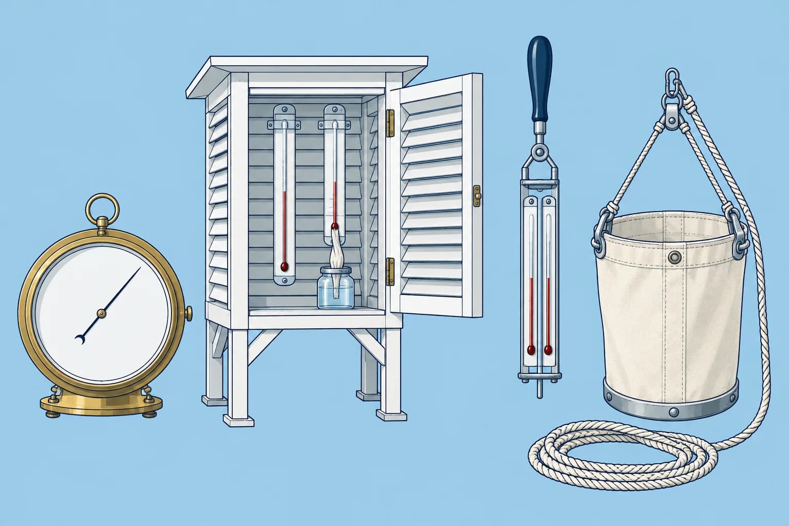
Pressure to sea level
Read the barometer to 0.1 hPa. Apply its index error from the last check against a standard, then add a height correction to mean sea level (MSL), about 0.12 hPa per metre near the surface; the logbook software or the barometer's card gives the exact value. Barometer trends and the barograph are in Forecasting on board; here you need the corrected number. Check which corrections are already applied; never add height twice.
Worked example
Your bridge barometer is 18 m above the waterline and reads 1008.6 hPa. The PMO's check found it reads 0.4 hPa high, so the corrected reading is 1008.2 hPa. Height correction: 18 × 0.12 ≈ 2.2 hPa, added because pressure is higher at sea level. Report 1010.4 hPa. Also report the 3-hour tendency: the change in hPa and its characteristic, the shape of the trace, such as rising then falling.
Air temperature and humidity
Measure air temperature with a dry bulb and humidity with a wet bulb, a thermometer in wet muslin, in a ventilated louvred screen on the windward bridge wing. Keep it clear of funnel heat, sun-warmed steel and exhaust. A psychrometer pairs these thermometers: you swing a sling type through the air; an aspirated type uses a fan. The software works out the dew point; humidity itself is explained in Clouds and humidity.
Sea temperature
Sea-surface temperature (SST) comes from three main methods. A bucket: an insulated sampler hauled from forward of any discharge and read at once in the shade. An engine-room intake sensor, a few metres down, which can read warm from engine-room heat. A hull contact sensor fixed inside the shell plating below the waterline. Report which method you used: the code has a place for it, and scientists correct each method differently.
Key figures
- Pressure reading
- To 0.1 hPa, corrected for index error and height
- Height correction
- About +0.12 hPa per metre near sea level; use the table
- Worked example
- 1008.6 − 0.4 + 2.2 = 1010.4 hPa
- Screen
- Windward side, ventilated, clear of heat sources
- SST methods
- Bucket, engine intake or hull sensor: always say which
Remember
- Correct pressure for index error and height to MSL; check which corrections are already applied.
- Expose the screen on the windward side, away from heat and exhaust.
- The dew point comes from dry and wet bulb readings; the software calculates it.
- Report the SST method: bucket, intake and hull sensors differ.
Common mistakes
Wrong: Send the barometer reading as it is; the forecasters correct it.
Right: Ship reports carry pressure at mean sea level. Check which index and height corrections are already applied before coding.
Wrong: The screen can go anywhere out of the rain, such as the lee side near the funnel.
Right: Put it on the windward side, ventilated and clear of funnel heat and warm steel, or the readings are useless.
Worked case
The bridge barometer displays 1005.3 hPa and is labelled MSL corrected. A cadet wants to add 2.9 hPa because the instrument is 24 m above the water. What do you check?
Show the answer
Check the setup and PMO card before adding anything. If the display already includes the verified index and sea-level corrections, report 1005.3 hPa. Adding height again would overstate pressure. The worked example starts with an uncorrected reading. If the setup is unclear, resolve it before coding.
Practice question
Why is a height correction added to the barometer reading?
- Pressure is higher at sea level than on the bridge
- Pressure is lower at sea level than up on the bridge
- The barometer reads high when the ship rolls
- The correction removes the daily pressure wave
Show the answer
Answer: A. Pressure falls with height, so the reading at bridge height is lower than at mean sea level.
3 · Wind and waves
Wind and waves: true wind, sea state, wind sea and swell
Report the true wind, not what you feel on a moving deck, and separate the wind sea from each swell by direction, period and height.
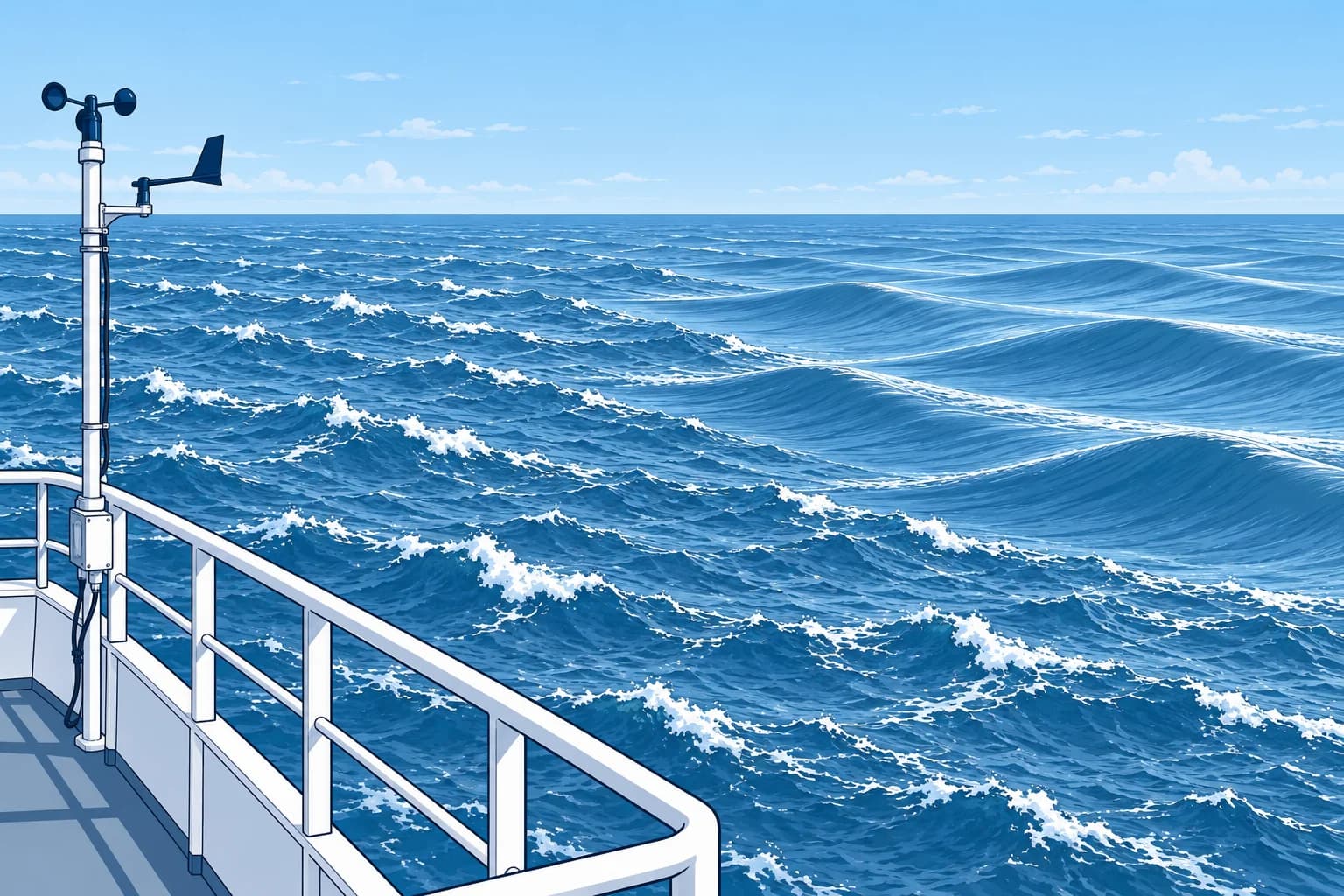
Apparent and true wind
The anemometer measures apparent wind, the airflow relative to your moving ship. Report true wind relative to the Earth: its mean speed in knots and the direction it comes from, in degrees true, over the ten minutes before observation. Convert relative bearings using the true heading, where the bow points. Then add the ship’s course over ground (COG) and speed over ground (SOG) as a velocity vector. TurboWin+ can calculate this; check its inputs.
Worked example
Assume no current or sideways drift (leeway): heading and COG are 000°, SOG 15 knots. Apparent wind is 25 knots from 30° on the starboard bow. Air moves past you towards 210° at 25 knots: 21.7 knots southward and 12.5 knots westward. Add your motion, 15 knots northward: air moves 6.7 knots south and 12.5 knots west. Its speed is √(6.7² + 12.5²) ≈ 14 knots, towards 242°. True wind is about 14 knots from 062°.
Estimating from the sea
Without a reliable anemometer, or as a check, use sea state, the appearance of waves and whitecaps, to estimate wind with the descriptions in Beaufort. Sea appearance estimates wind relative to the water; strong currents can affect the comparison. Judge a wide area, not your bow wave. Allow for a sea that has not yet caught up with a sudden wind change, and for current against the waves, which steepens them.
Wind sea and swell
Wind waves (wind sea) are raised by the local wind: short, steep crests moving with it. Swell has run out from distant wind: longer, smoother, more regular waves, often from another direction. Report them separately: wind waves by period and height, and each swell system, up to two, by the direction it comes from, period and height. Swell travel and period are in Forecasting on board.
Measuring waves
Measure period, the time between crests, at a foam patch drifting with the water. Time from the first to the eleventh crest: ten intervals, so divide by ten. Timing crests passing a moving ship gives an encounter period instead. Estimate significant wave height: approximately the average trough-to-crest height of the highest third of waves. Report wind sea and each swell separately. Use the ship’s freeboard, its height above water, as a scale. Ignore the ship’s wake and observe safely.
Key figures
- True wind
- Earth-relative; 10-minute mean, knots, from direction in degrees true
- Worked example
- Heading/COG 000°, SOG 15 kn; 25 kn, 30° stbd bow → ≈14 kn from 062°
- Sea state
- Estimates wind over water; allow for currents and delayed response
- Wind waves
- Period and height
- Swell
- Up to two systems: direction, period and height
Remember
- For true wind, convert bearings with heading; add the ship’s velocity over ground to apparent air movement.
- Directions are where the wind and swell come from, in degrees true.
- Estimate the wind from the sea state over a wide area, not from your bow wave.
- Report wind waves and each swell system separately.
Common mistakes
Wrong: Report the anemometer reading; forecasters can correct for the ship's motion.
Right: The report must give the true wind. Convert it, or let the logbook software do so, and check the result.
Wrong: Wave height is the biggest wave you saw during the observation.
Right: Estimate the average height of the highest third, excluding the ship’s wake; report wind sea and swell separately.
Worked case
Assume no current or leeway: heading and COG are 090°, SOG 12 knots. The anemometer shows 12 knots of apparent wind from right ahead. What is the true wind?
Show the answer
Calm. A wind of 12 knots from right ahead is exactly what your SOG of 12 knots produces in still air. Add the ship’s velocity over ground to apparent air movement: 12 knots westward plus 12 knots eastward is zero. Do not use sea appearance to confirm calm: swell or leftover wind waves may persist after the wind drops. Report calm, not 12 knots from 090°.
Practice question
What wind does a ship's weather report give?
- Apparent wind: the 10-minute mean at the sensor
- True wind: the 10-minute mean, from direction °T
- Relative wind: the mean bearing from the bow
- Gust wind: the highest speed during the watch
Show the answer
Answer: B. Report Earth-relative true wind: the mean over the ten minutes before observation, in knots, from the direction it blows, in degrees true.
4 · Visibility, cloud
Visibility, cloud and weather
Estimate visibility against known ranges, give cloud amount in oktas with the cloud types, and describe present and past weather.
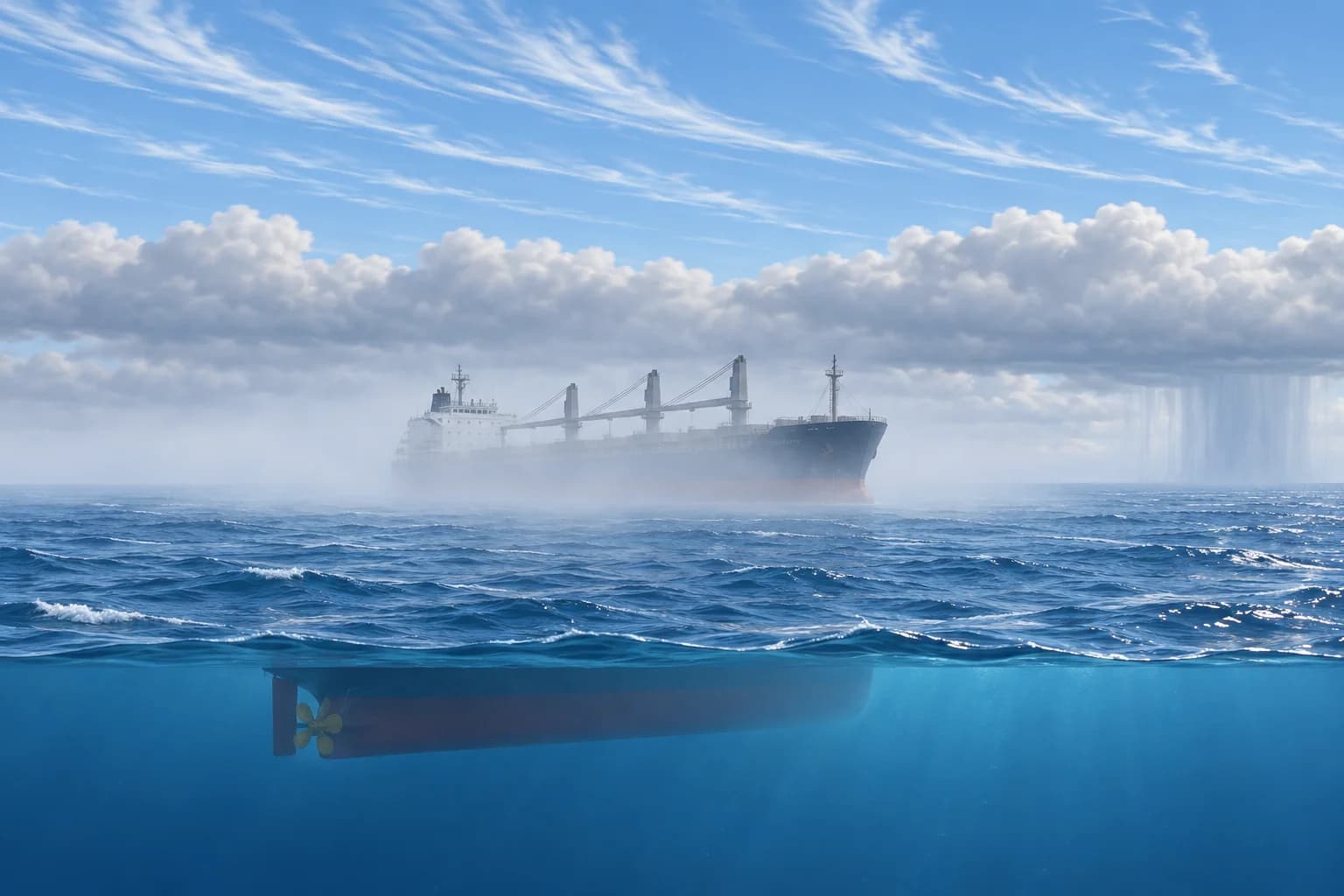
Visibility
Visibility is the greatest distance at which you can see and identify a suitable dark object against the horizon sky in daylight. At night, estimate equivalent daylight visibility; a light’s range also depends on brightness. Use radar ranges of suitable objects just visible, checking that Earth’s curvature does not hide them. Assess all directions and report the shortest distance. The software codes it in steps from under 50 m to 50 km or more. Fog is in Fog and visibility.
Cloud amount and type
Give the total cloud amount in oktas, eighths of the sky covered: 0 is clear and 8 is overcast. The code uses 9 when fog or snow hides the sky. Then name the low, middle and high cloud types you see and the height of the lowest cloud base. Cloud names and what they tell you are in Clouds and humidity; here you pick the code that fits best, using the cloud atlas pictures in the software.
Present and past weather
Present weather describes now or the previous hour. Use table priorities, usually the highest applicable code; code 17, thunderstorm without precipitation now, takes precedence over codes 20–49. Let the software apply these priorities, rather than choosing by number alone. Past weather covers 6 hours at main synoptic hours and 3 hours at intermediate hours: rain, snow, thunderstorm, fog or haze. Select all applicable conditions; the software fills the two past-weather fields.
Ice and spray
Report ice accretion on the ship: its cause, such as spray, fog or freezing rain, its thickness and how fast it builds. Severe icing with gale-force wind and sub-freezing air is also a danger message, covered at the end of this unit. Iceberg reporting in the North Atlantic is in Ocean weather.
Key figures
- Cloud amount
- Oktas: 0 = clear, 8 = overcast, 9 = sky obscured
- Visibility
- Coded steps, from under 50 m to 50 km or more
- Present weather
- Use table priorities; usually the highest applicable code
- Past weather
- 6 h at main hours, 3 h at intermediate hours
Remember
- Assess all directions; report the shortest visibility using suitable targets and allowing for Earth’s curvature.
- Cloud amount in oktas; 9 means the sky cannot be seen.
- Present weather covers now and the last hour; past weather the 6 or 3 hours before.
- Report ice accretion with its cause, thickness and rate.
Common mistakes
Wrong: Visibility is good because the radar shows targets at 12 nm.
Right: Use a suitable object you can just see and identify, checking its radar range and horizon limit. Assess all directions; report the shortest visibility.
Wrong: With fog all round and no sky visible, report 8 oktas.
Right: When fog hides the sky, the cloud amount is coded 9: sky obscured.
Worked case
At 0600 UTC, a ship just visible at 4.5 nautical miles (nm) gives the shortest visibility around the horizon; radar confirms its range and the horizon does not hide it. A headland at 7 nm is invisible. Drizzle began 20 minutes ago; rain fell from 0100 to 0300. Low stratus covers 7/8 of the sky.
Show the answer
Visibility 4.5 nm, or 8.3 km: the step for 4 km to under 10 km. Present weather: drizzle, since it is falling now. Past weather for the 6 hours since 0000: rain and drizzle; select both in the software. Cloud: 7 oktas, low cloud stratus, with its estimated base height.
Practice question
How many oktas do you report when the sky is fully covered by cloud you can see?
- 9
- 10
- 4
- 8
Show the answer
Answer: D. 8 oktas is overcast. 9 is reserved for sky obscured by fog or snow.
5 · Code and send
Coding and sending the report: FM 13 SHIP and electronic logbooks
Ship reports travel in the FM 13 SHIP code, built by electronic logbooks such as TurboWin+ and sent by email or satellite, free to the ship.
FM 13 SHIP
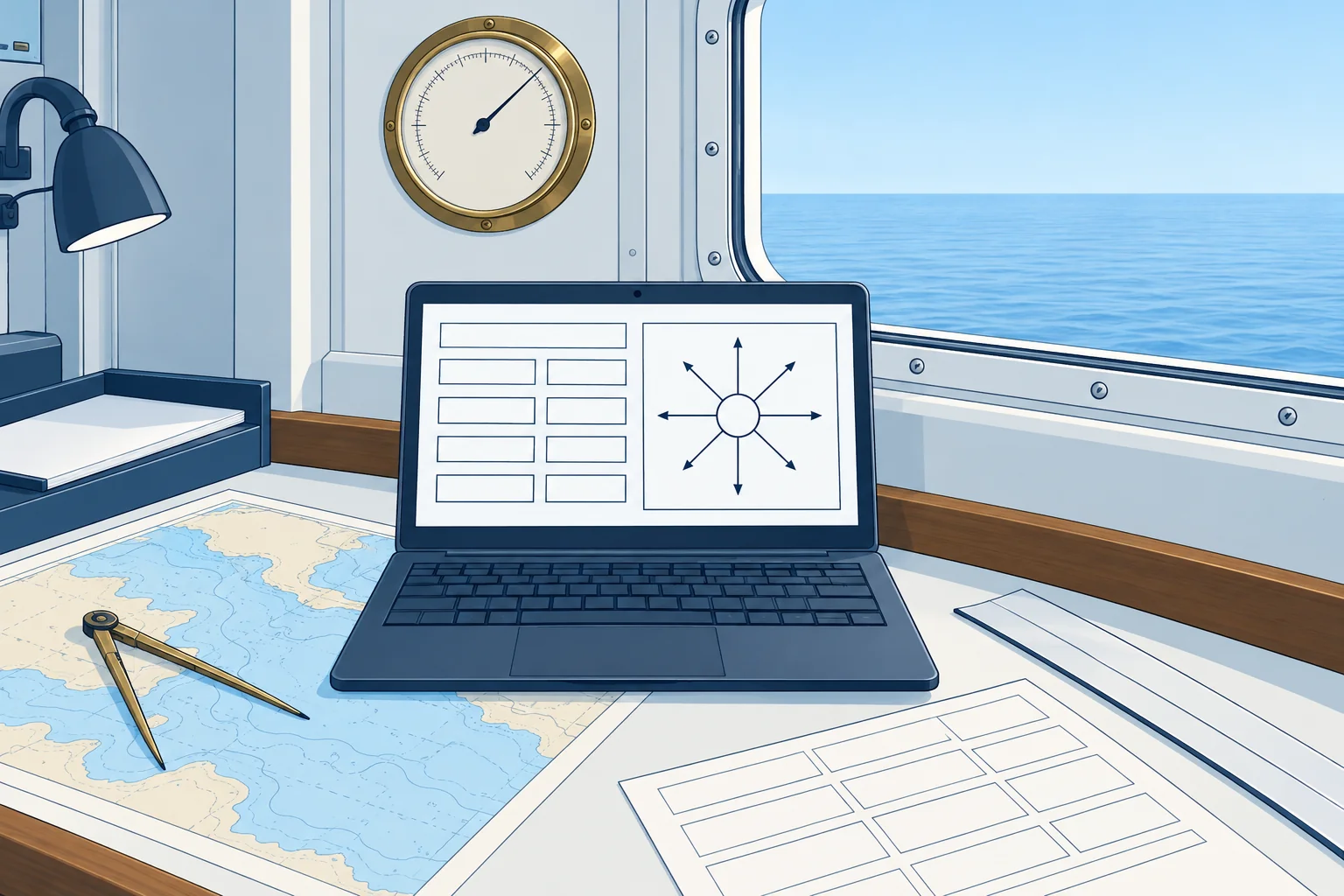
The FM 13 SHIP code, in WMO's Manual on Codes (WMO-No. 306), turns an observation into five-figure groups. Section 0 identifies the ship, time and position. It opens with BBXX and the ship's call sign, then the day, hour and wind-unit indicator, then latitude and longitude. Section 1 holds cloud base, visibility, cloud cover, wind, air temperature, dew point, pressure, tendency, weather and cloud types. Section 2, which starts 222, holds course and speed, sea temperature, wind waves, swell and ice.
You learn the shape
You learn the structure, not every table. Many groups start with a fixed figure naming them: 1 air temperature, 2 dew point, 4 sea-level pressure, 5 tendency, 7 weather, 8 cloud. That lets a forecaster spot a damaged report. Ashore the message is usually converted into WMO's table-driven BUFR format for exchange. The tables, such as cloud types and present weather, are built into the logbook software.
Electronic logbooks
TurboWin+, free software from the Dutch service KNMI used by many services, guides you through each element, calculates true wind and dew point, runs quality checks and writes the coded message. Some ships use another approved logbook, or an automatic weather station that sends pressure and other data by itself. Your PMO installs the software and enters your ship's details, such as barometer height.
Sending it
Follow your PMO’s submission instructions. For the Japan Meteorological Agency (JMA) TurboWin+ email route, send one plain-text report in the body, with no attachment, to the address your PMO gives. Some services accept satellite messages through Inmarsat-C Special Access Code 41 (SAC 41), with the cost charged to the met service. SOLAS V/5 makes transmission free of charge to the ship. The logbook also keeps every observation for the climate record, collected by the PMO in port.
The deck log
The deck log or weather log records the weather each watch: wind direction and force, sea and swell, visibility, weather, pressure with its tendency, and air and sea temperature, at the times your company sets. These entries become evidence in heavy-weather damage claims and investigations. Keep them as honest and regular as your VOS reports.
Key figures
- Code
- FM 13 SHIP (WMO-No. 306); opens BBXX and the call sign
- Section 2
- Starts 222: course, speed, sea temperature, waves, ice
- Software
- TurboWin+ (KNMI): quality checks, true wind, coding
- Sending
- Email to the service; some accept Inmarsat-C code 41
- Cost
- Free to the ship (SOLAS V/5); SAC 41 billed to the service
Remember
- FM 13 SHIP: Section 0 identifies ship, time and position; Section 1 covers air, Section 2 (222) the sea.
- Learn the structure; the software holds the tables and checks the values.
- For this email route, send one plain-text report per message. Follow your PMO’s submission instructions.
- Keep the deck log weather entries every watch; they are evidence.
Common mistakes
Wrong: Attach the report as a file, or send several hours in one email.
Right: For this email route, send one report as plain text in the body, without attachments. Follow your PMO’s instructions.
Wrong: Once you send VOS reports, the deck log weather entries can be dropped.
Right: The deck log is the ship's own record and is needed every watch, whatever you send ashore.
Worked case
Your TurboWin+ quality check flags 'dew point higher than air temperature'. The dry bulb reads 14.2 °C and the wet bulb 14.8 °C.
Show the answer
The wet bulb cannot read higher than the dry bulb in a working instrument, so one reading is wrong. Check that the wet-bulb muslin is clean and wet but not dripping, that the screen is on the windward side, and re-read after ventilating. Do not override the check to send the report. If the fault stays, tell the PMO.
Practice question
A report has atmospheric and sea observations but no time or position. Which section is incomplete?
- Sea observations section 2
- The ship’s deck-log entry
- Identification section 0
- The pressure-tendency group
Show the answer
Answer: C. Section 0 identifies the ship, time and position; Sections 1 and 2 contain the weather and sea observations.
6 · Danger messages
Danger messages: storms, force 10 winds and severe icing (SOLAS V/31–32)
Under SOLAS V/31 every master must report certain dangers to ships nearby and the authorities. V/32 says what each message should contain.
The duty
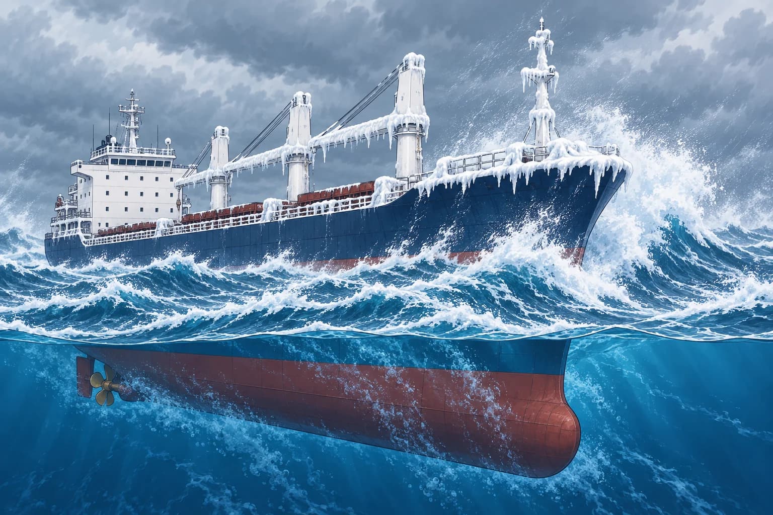
SOLAS regulation V/31 binds the master of every ship, not only VOS ships. If you meet dangerous ice, a dangerous derelict or any other direct danger to navigation, a tropical storm, sub-freezing air with gale-force winds causing severe ice accretion on the superstructure, or winds of force 10 or more for which no storm warning has been received, report it by all means at your disposal to ships nearby and to the competent authorities.
Form and cost
The form is not fixed: plain language, preferably English, or the International Code of Signals. Send it as a safety message to ships in the vicinity and to the nearest coast station or authority. These messages are free of cost to the ship. Operating the radio equipment is covered in the communication units.
Tropical storm content
SOLAS V/32 asks you to report a tropical cyclone when you have good reason to believe one is forming or near. Give UTC, date and position. Add available observations: pressure with unit and correction status; change over three hours; true wind direction and Beaufort force; sea state; swell amount, true direction and period or length; and true course and speed. While affected, further reports are desirable hourly if practicable, at intervals of no more than three hours.
Force 10 and icing
For winds of force 10 or more with no storm warning, meaning a storm other than a tropical cyclone, send similar content without the sea and swell details. For severe icing, give time and date, air temperature, sea temperature if practicable, and wind force and direction. Ice and derelict reports give what you saw and its position. Avoiding the storm itself is in Tropical revolving storms.
Key figures
- Triggers (V/31)
- Ice, derelict, other danger, tropical storm, icing, force 10 unwarned
- Who reports
- The master of every ship, VOS or not
- Form
- Plain language (preferably English) or the Code of Signals
- Storm follow-up
- Desirable: hourly if practicable, at least every 3 hours
- Cost
- Free of cost to the ship
Remember
- V/31 is mandatory for every master, unlike VOS reporting.
- Non-tropical force 10+: report if unwarned. Report suspected tropical cyclones even if warnings have been received.
- Icing reports need sub-freezing air and gale-force wind causing severe accretion.
- Tropical storm: position, time, pressure (corrected or not), wind, sea, swell, course and speed.
Common mistakes
Wrong: Danger messages are only for ships in the VOS scheme.
Right: SOLAS V/31 binds the master of every ship.
Wrong: Wait until you are sure a tropical cyclone has formed before reporting.
Right: SOLAS asks you to read the duty broadly: report when you have good reason to believe one is forming or near.
Worked case
At 0600 UTC on 12 January, at 48°30′N 025°10′W, you meet non-tropical true wind WNW force 10 without a storm warning. Corrected pressure is 978.4 hPa, down 6 hPa in 3 hours. Your true course is 080°, speed 9 knots. What do you report?
Show the answer
This is a V/31 trigger: non-tropical force 10 with no storm warning received. Send a danger message to nearby ships and the competent authority: “Storm. 0600 UTC 12 January. 48°30′N 025°10′W. Barometer corrected 978.4 hPa, falling 6 hPa in 3 hours. True wind WNW force 10. Course 080°T, speed 9 knots.” Use the observed values supplied; do not invent missing readings.
Practice question
Who must send a danger message under SOLAS V/31?
- Only masters of ships in the VOS scheme
- The master of every ship meeting the danger
- Only ships of 500 GT or more on ocean voyages
- Only the coast station that hears about it
Show the answer
Answer: B. V/31 is binding on the master of every ship.