
Meteorology · Level P4 · 5 parts · about 17 min
Weather routeing and heavy-weather voyage planning
5 short parts: Routeing basics · Ensembles · Following seas · Rolling dangers · Heavy weather plan. Each part explains the idea, then gives the points to remember, the common mistakes, a worked case and a practice question; the Academy unit adds all 32 check questions.
1 · Routeing basics
Weather routeing: aims, methods and who decides
Weather routeing chooses a route and speed from the forecast wind, waves and currents. A router advises; the master still decides.
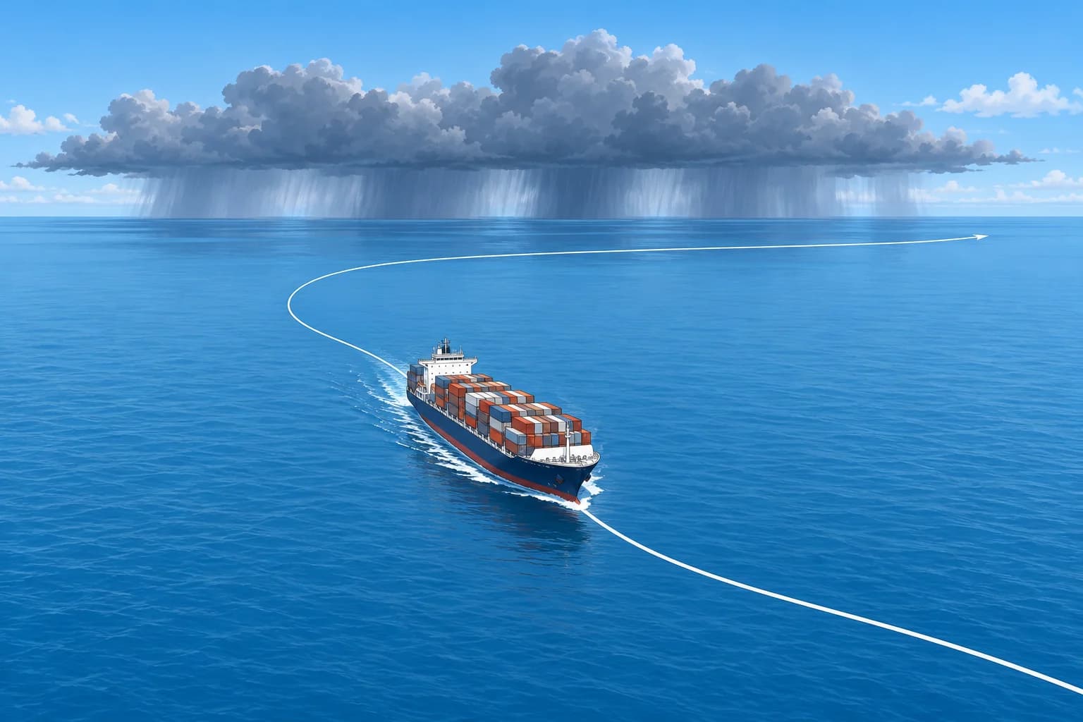
Two kinds of routeing
Climatological routeing plans with long-term averages: routeing charts, Ocean Passages for the World and seasonal limits, covered in Ocean passage planning. Real-time weather routeing uses the latest forecasts of wind, waves and currents for this voyage and updates the route as new forecasts arrive. On an ocean crossing they work together: climate sets the safe season and broad route, and forecasts shape the track day by day.
What the route optimises
A route is chosen for an aim, within limits. Least time arrives soonest. Least fuel, and so least emissions, often goes with a fixed arrival time, such as just-in-time arrival for a berth slot. Least damage keeps motions, slamming (heavy hull impacts against waves) and water on deck within what hull, cargo and crew can take. The limits come first: the wind and waves the ship can face, roll and acceleration limits, and ice or storm areas to avoid.
IMO and the services
IMO resolution A.528(13), the 1983 Recommendation on Weather Routeing, recognises that routeing can improve safety and asks governments to tell their ships about available services. Today, shore-based routeing services send a recommended route and updates by email, and many ships run onboard routeing software fed with forecast files and the ship's own speed and motion data. Both are only as good as the forecast and the ship model behind them.
The master decides
Routeing advice is advice. Under SOLAS V/34-1, the owner, charterer or anyone else must not prevent or restrict the master from taking any decision which, in the master's professional judgement, is necessary for safety or for protecting the marine environment. If a recommended route leads into seas you judge dangerous, change it and tell the router and the company why. Record your reasons in the log.
Into the voyage plan
SOLAS V/34 requires a voyage plan, following IMO's Guidelines for voyage planning, resolution A.893(21). A weather route is part of that plan: the track, waypoints, speeds and the weather limits that would trigger a change. Every change of route is a plan amendment, handled in the last lesson of this unit.
Key figures
- Climatological routeing
- Long-term averages: safe season and broad route
- Real-time routeing
- Latest forecasts, updated as each new forecast arrives
- Aims
- Least time, least fuel, least damage, fixed-time arrival
- IMO recommendation
- Resolution A.528(13), Recommendation on weather routeing (1983)
- Master's discretion
- SOLAS V/34-1: nobody may restrict decisions needed for safety
Remember
- Climate sets the season and broad route; real-time forecasts shape the track.
- Every route serves an aim within limits: time, fuel or least damage.
- Shore services and onboard software advise; under SOLAS V/34-1 the master decides.
- The weather route is part of the SOLAS V/34 voyage plan.
Common mistakes
Wrong: Using a routeing service transfers responsibility for safe navigation from the master.
Right: The router advises. The master remains responsible and must change the route when safety needs it.
Wrong: Real-time routeing makes routeing charts and seasons irrelevant.
Right: Forecasts reach only days ahead. Climate still sets the safe season and the broad route.
Worked case
Your router recommends a great-circle track across the North Pacific in January to save 14 hours for a charter deadline. The latest forecast shows a deep low crossing that track, with significant wave heights of 9 m two days ahead.
Show the answer
Weigh the route against your ship's limits, not the deadline. If the forecast seas exceed the limits in your voyage plan, choose a more southerly track or adjust speed to pass behind the low. Tell the router and company your decision and reasons. SOLAS V/34-1 protects your judgement on safety. Record the forecasts used and the reasons in the log.
Practice question
What does climatological routeing use?
- Long-term averages for the month and area
- The latest forecast files from the router
- Observations made by the ship each watch
- Satellite images from the last 24 hours
Show the answer
Answer: A. Climatological routeing works from averages: routeing charts, ocean passage guides and seasonal limits.
2 · Ensembles
Ensembles in route decisions
Test each candidate route through every ensemble member at the planned times. Use model estimates alongside safety limits, warnings and observations.
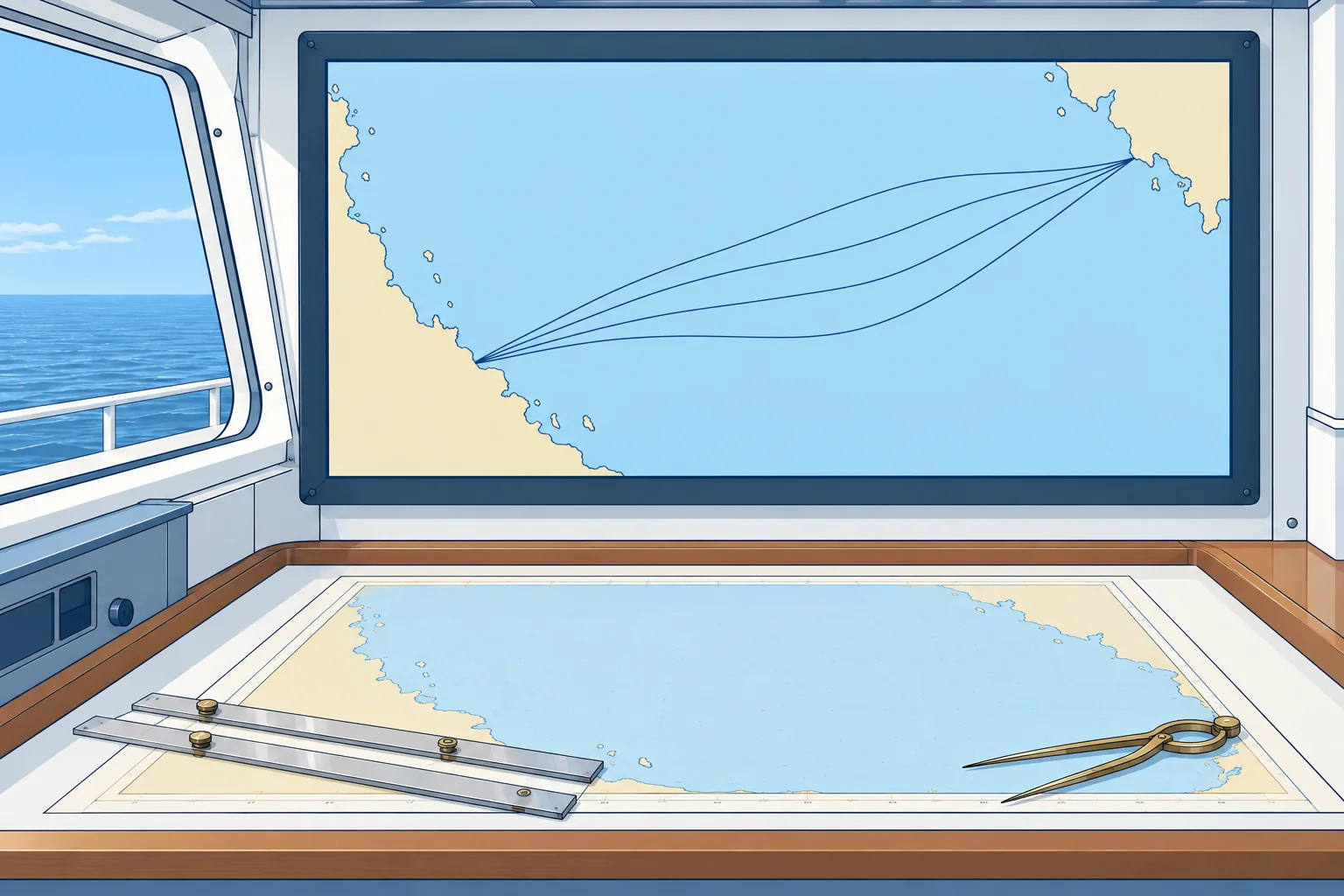
Beyond one forecast
One forecast gives one future; an ensemble gives many. GRIB and weather models shows how ensembles are made and what their spread means. For routeing, the question changes from 'what will the weather be?' to 'how likely is my ship to meet conditions beyond her limits on this route, at these times?' The further ahead you look, the more weight the ensemble deserves over any single run.
Route against members
Test each candidate route against every ensemble member, using the same ship model and planned speed policy. Record arrival time, fuel use and the worst conditions encountered. Significant wave height (Hs) is the average height of the highest third of waves. On route A, 6 of 51 members exceed Hs 7 m; on B, 1 of 51: about 12 % and 2 %. These are model estimates, not calibrated guarantees; members share errors.
Set a threshold
Set safety limits first. Cost-loss analysis compares action cost C with the loss L it prevents. For full protection, act when event probability p > C/L. Cost 1 and avoidable loss 20 gives 5 %. This assumes the action removes that loss. If both routes retain exposure to the same loss, compare the reduction in probability with C/L. Check remaining risk separately against the voyage plan and ship-specific guidance. An economic threshold is not permission to exceed safety limits.
Timing and updates
Ensembles are re-run up to four times a day. Compare each run with the last: a signal that stays steady over several runs is more trustworthy than a sudden jump. Decide early, when a small change of course or speed moves you well clear, not late, when only large changes help. Tropical cyclones have their own avoidance rules, covered in Tropical revolving storms.
What ensembles miss
Ensembles share their model's blind spots: small intense lows, squalls, steep seas where waves meet a strong current, such as the Agulhas Current, and shallow water. Use them for the big picture of risk, then check official warnings and your own observations. A low probability is not a guarantee.
Key figures
- Hs
- Significant wave height: average of the highest third of waves
- Model-estimated exceedance probability
- Members exceeding the limit ÷ total members
- Worked example
- Model estimates: 6/51 ≈ 12 %; 1/51 ≈ 2 %; shared errors remain
- Decision rule
- For full protection: act when p > C/L; safety limits still apply
- Updates
- Compare successive runs; trust a steady signal
Remember
- Run every candidate route through every member, at your planned speeds.
- Model-estimated exceedance probability = members beyond the limit ÷ all members; shared errors remain.
- If action prevents the loss, use p > C/L; otherwise compare risk reduction. Check remaining risk against safety limits.
- Decide early; check warnings and observations, which see what models miss.
Common mistakes
Wrong: Weather at departure is enough to compare the routes.
Right: Match each forecast to the time your ship reaches each point on each route.
Wrong: Only change route when the probability of exceeding your limits is over 50 %.
Right: Use your stated cost-loss assumptions and safety limits; 50 % is not a general action threshold.
Worked case
In 4 days, 10 of 51 members exceed your Hs 8 m limit on your track; 2 of 51 do so 150 miles south. Diverting costs 8 hours. For this simplified comparison, treat exceedance as damage costing 30 times the delay; diversion changes only its probability. Do the economics justify diverting, and is that enough?
Show the answer
The model estimates are 10/51 ≈ 19.6 % and 2/51 ≈ 3.9 %. The reduction is 8/51 ≈ 15.7 percentage points, above C/L = 1/30 ≈ 3.3 %. The diversion is economically favoured in this model; 3.3 % is not a safety acceptance limit. Check remaining risk against your plan and ship-specific guidance. Consider safer timing or another route before accepting it. Decide early and log the forecasts and reasons.
Practice question
On a route, 8 of 51 ensemble members exceed your wave limit. What is the model-estimated exceedance probability?
- About 8 %
- About 16 %
- About 51 %
- About 43 %
Show the answer
Answer: B. 8 ÷ 51 ≈ 0.16, about 16 %. This is a model estimate, not a calibrated guarantee; members share errors.
3 · Following seas
Following and quartering seas: surf-riding and successive high waves
IMO's MSC.1/Circ.1228 gives general speed and course guidance for following seas. You need wave period, wavelength and encounter period.
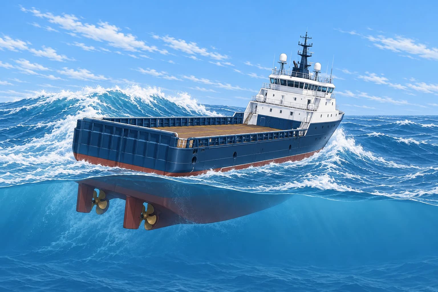
The guidance
MSC.1/Circ.1228 (2007) covers capsize and heavy-rolling hazards, including surf-riding, broaching, successive high waves and resonant rolling. It assumes compliance with applicable Intact Stability Code (IS Code) criteria. Its zones are general guidance, not guarantees. It does not assess slamming, hull stresses, shallow-water or current effects, collision or grounding. Check those separately and use any ship-specific operational guidance.
Measure the waves
Wave period Tw is the time between crests at a fixed place in the water. Track the same foam patch over several crest-to-crest cycles and divide elapsed time by the number of cycles. Wavelength λ is the distance between crests; estimate it against the ship's length or from suitable radar images. In deep water, λ = 1.56 × Tw² metres and wave speed ≈ 3 × Tw knots. For Tw = 10 s, λ ≈ 156 m and speed ≈ 30 knots.
Encounter period
The encounter period TE is the time between crests meeting your ship. In deep water without significant current, TE = 3Tw² ÷ (3Tw + V cos α). V is speed through the water in knots; α is where waves come from relative to the bow: 0° ahead, 180° astern. Use this form only with a positive denominator. For Tw = 10 s and V = 12 knots, TE ≈ 16.7 s astern and 7.1 s ahead. You can also time pitching.
Surf-riding
On the steep front of a high following wave the ship can be carried along at the wave's speed: surf-riding. She may then broach: swing suddenly beam-on to the sea and heel heavily, risking capsize. The circular warns of this when α is between 135° and 225° and the speed exceeds 1.8√L ÷ cos(180° − α) knots, with L the length between perpendiculars in metres. Keep speed, course or both outside that zone.
Successive high waves
When average wavelength exceeds 0.8 L and significant wave height exceeds 0.04 L, watch for dangerous behaviour and avoid TE about 1.8–3.0 times Tw. Your speed can then be close to the speed of a wave group, keeping you among its larger waves for longer. Repeated high waves can produce large motions and reduced stability. Reduce speed or change course to leave the zone.
Key figures
- Wavelength
- λ = 1.56 × Tw² m; a 10 s wave is about 156 m
- Wave speed
- About 3 × Tw knots
- Encounter period
- TE = 3Tw² ÷ (3Tw + V cos α); positive denominator only
- Surf-riding zone
- 135° < α < 225° and V > 1.8√L ÷ cos(180° − α) knots
- Successive high waves
- λ > 0.8 L and Hs > 0.04 L: avoid TE ≈ 1.8–3.0 × Tw
Remember
- Measure Tw by stopwatch; λ = 1.56 Tw² m; wave speed ≈ 3 Tw knots.
- Deep water, little current: TE = 3Tw² ÷ (3Tw + V cos α); V through water, α = 0° ahead; positive denominator only.
- Surf-riding risk: following or quartering sea and V above 1.8√L ÷ cos(180° − α).
- Successive high waves: keep TE out of 1.8–3.0 × Tw when λ > 0.8 L and Hs > 0.04 L.
Common mistakes
Wrong: Slowing down always makes a following sea safer.
Right: Slowing can clear the surf-riding zone but move you into the successive high-wave zone. Check both.
Wrong: Outside the circular's danger zones, the ship is safe.
Right: The guidance is general. A ship with poor stability can be unsafe outside the zones.
Worked case
Your offshore supply vessel has L = 64 m. You run before a gale, sea right astern (α = 180°), at 15 knots. Tw = 8 s and Hs is 4 m. Should you slow to 12 knots?
Show the answer
Surf-riding limit: 1.8 × √64 = 14.4 knots, so 15 knots is in the zone. Successive waves apply: λ ≈ 100 m > 51 m and Hs 4 m > 2.6 m. At 12 knots TE = 192 ÷ 12 = 16 s, twice Tw: inside the 1.8–3.0 zone. Go below about 10.5 knots, where TE is under 1.8 Tw, or change course, checking both zones again.
Practice question
Waves have a period of 12 s. About how long are they in deep water?
- About 19 m
- About 156 m
- About 225 m
- About 36 m
Show the answer
Answer: C. λ = 1.56 × 12² = 1.56 × 144 ≈ 225 m.
4 · Rolling dangers
Synchronous and parametric rolling
Heavy rolling builds when the waves meet you at your roll period, or at half of it. Change speed or heading to break the rhythm.
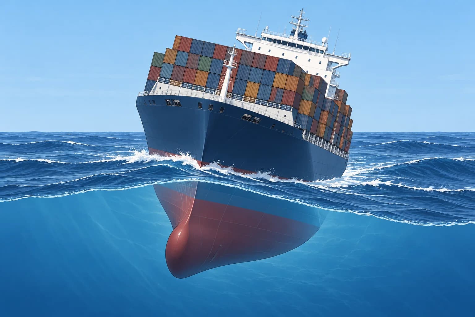
Know your roll period
The natural roll period TR is the time for one full roll, from one side to the other and back. Time several rolls in calm conditions, or use approved ship-specific loading information. GM, metacentric height, indicates initial resistance to heeling. For the same ship with similar mass distribution, smaller GM generally means a longer TR. Size and mass distribution also matter, so a long TR alone does not prove marginal stability. Re-check it for each loading condition.
Synchronous rolling
Synchronous rolling builds when the encounter period matches the roll period: TE ≈ TR. Each wave pushes the ship just as she rolls that way, like pushing a swing. In following and quartering seas, TE is longer and may match a long TR. Example: Tw = 10 s at 12 knots in a following sea gives TE ≈ 16.7 s; with TR = 17 s, change speed or course.
Parametric rolling
Parametric rolling comes from stability changing as waves pass along the hull: less with a crest amidships, more with a trough amidships. It builds when TE ≈ TR or, in the classic case, TE ≈ 0.5 TR, when stability dips twice in every roll. Ships with fine, flared bows and wide, flat sterns, such as large container ships and car carriers, are most at risk, in head and bow seas as well as following seas. Large rolls can build within a few cycles.
Worked example
A large container ship has TR = 26 s, so 0.5 TR = 13 s. In head seas with Tw = 14 s, at 14 knots TE = 588 ÷ (42 + 14) = 10.5 s. Slowing to 3 knots gives TE = 588 ÷ 45 ≈ 13.1 s, close to half TR. Slowing has increased parametric-rolling risk. Choose a safe speed or heading change to move TE away from both 13 s and 26 s, while checking the ship's response.
Countermeasures and design
Watch for rolling that builds in step with the pitching, or rolls much larger to one side. Change speed, heading or both safely, then re-check TE against TR and 0.5 TR. Check other hazards and monitor the response; use motion monitoring or anti-roll systems where fitted. IMO's MSC.1/Circ.1627 (2020) introduces second-generation intact stability criteria for five failure modes: dead ship, excessive acceleration, pure loss of stability, parametric rolling, and surf-riding and broaching. They may support ship-specific operational guidance. Use that guidance where available.
Key figures
- Synchronous rolling
- TE ≈ TR
- Parametric rolling
- TE ≈ TR or TE ≈ 0.5 TR
- Worked example
- TR 26 s; head sea Tw 14 s at 3 kn → TE ≈ 13.1 s ≈ 0.5 TR
- Long roll period
- Lower GM generally lengthens TR on the same ship in like conditions
- Design criteria
- MSC.1/Circ.1627 (2020): five failure modes
Remember
- Check TR for your loading; a long TR alone does not prove marginal stability. Use approved stability information.
- Synchronous rolling at TE ≈ TR; parametric rolling at TE ≈ TR or 0.5 TR.
- Slowing in head seas can push a big ship into parametric resonance.
- Change speed, heading or both; move TE away from TR and 0.5 TR, check other hazards and monitor the response.
Common mistakes
Wrong: Parametric rolling only happens in beam seas.
Right: It typically occurs in head, bow, following and quartering seas, when TE is near TR or half of TR.
Wrong: Slowing right down head to sea always stops the rolling.
Right: Slowing lengthens TE in head seas and can bring it to 0.5 TR. Check TE before and after.
Worked case
Your car carrier, TR = 22 s, heads into a swell of Tw = 12 s at 6 knots. She starts rolling 15°, more each cycle, in step with the pitching. What is happening and what do you do?
Show the answer
TE = 432 ÷ (36 + 6) ≈ 10.3 s, near 0.5 TR = 11 s: suspect parametric rolling. Change speed, heading or both to move TE away from 11 s and 22 s. At the unchanged head-sea heading, 14 knots gives TE ≈ 8.6 s. Assess slamming, steering and other limits before choosing a change. Follow ship-specific guidance and monitor whether rolling decreases; reassess if it persists. Inform the engine room and log the action.
Practice question
When does synchronous rolling build?
- When TE is about twice TR
- When TE is about equal to TR
- When TE is about a quarter of TR
- When TE is about equal to Tw
Show the answer
Answer: B. Synchronous rolling is resonance: the waves meet the ship at her natural roll period.
5 · Heavy weather plan
Heavy-weather voyage planning and amending the plan
Prepare the ship before the weather arrives, write your limits into the voyage plan, and record every change of route and the reasons for it.
Plan the limits
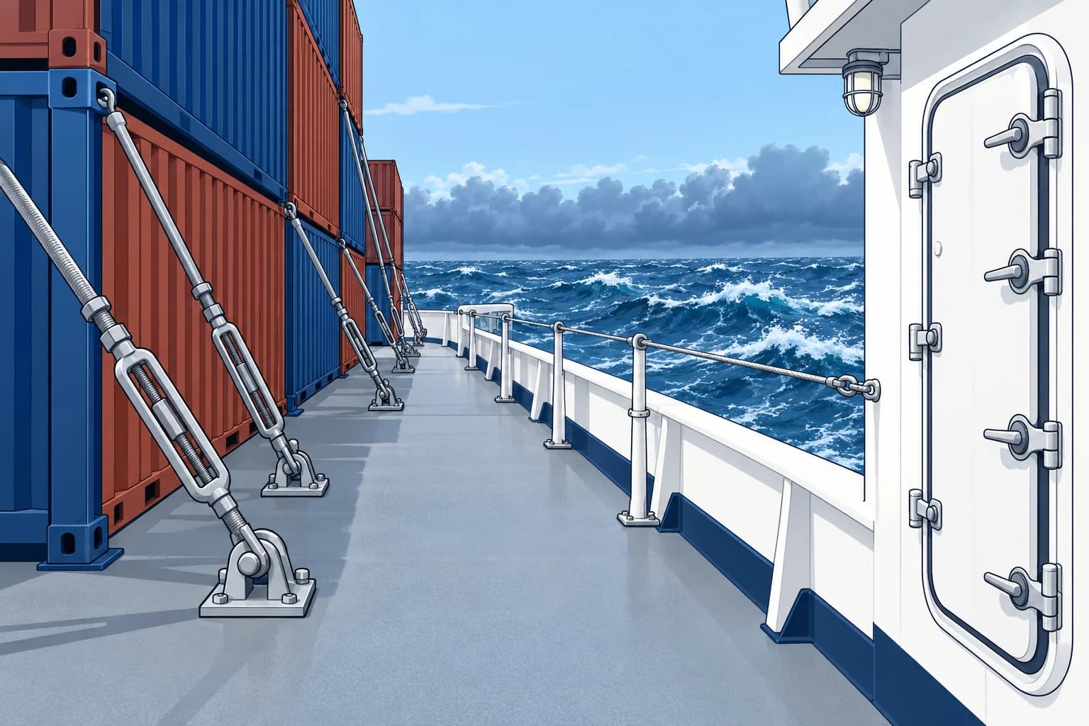
Before sailing into a season or area with heavy weather, write the ship's limits into the voyage plan: the significant wave height, wind, roll angle and slamming the ship and cargo can take, and the action at each limit. Base them on the loading condition, the Cargo Securing Manual that SOLAS requires and any operational guidance in the stability documents. Plan alternative routes and places of shelter where they exist.
Prepare early
Before the weather arrives: check watertight and weathertight closures, hatch covers, vents and doors; re-check cargo lashings against the Cargo Securing Manual; secure stores and loose gear; review ballast and stability; minimise slack (partly filled) tanks as permitted by the approved loading plan; brief the crew, restrict deck access and rig lifelines. Heavy rolling can loosen lashings, so plan safe checks for when the motion allows.
Tropical cyclones
At management level the rule is to plan clear of tropical cyclones, not to fight them. Use the official advisories, keep outside the forecast 34-knot wind radius with a margin for forecast error, and decide early. Semicircles, signs and avoidance tactics are in Tropical revolving storms; the seasons are in Ocean passage planning.
Head to sea or running
In very heavy weather the choice is usually between heading into the sea at reduced speed and running before it. Head seas bring slamming, water on deck and, at low speed, parametric rolling risk. Following seas bring surf-riding, broaching and successive high waves. Check both against MSC.1/Circ.1228 for your speed and heading, and consider a course with the sea on the bow or quarter that avoids the circular's zones while also checking slamming, hull stresses, shallow-water and current effects, collision and grounding.
Amending the plan
A change of route is a voyage plan amendment. Check the new track for dangers, traffic schemes, Electronic Chart Display and Information System (ECDIS) safety settings and reporting points; recalculate fuel and arrival time; brief the officers; and inform the company, router and agents. Log the time, the reason, the weather and the forecasts used. These records help explain your decisions if damage occurs.
Before heavy weather arrives
- Compare the forecast with the limits in the voyage plan. — It tells you early whether to change route, speed or timing.
- Close and check watertight and weathertight openings. — Openings can admit water and cause progressive flooding.
- Re-check cargo lashings against the Cargo Securing Manual. — Heavy rolling can loosen lashings and increase cargo movement.
- Reduce free surfaces where practicable, keeping ballast changes within approved stability, trim, draught and strength limits. — Moving liquid in partly filled tanks reduces initial stability: the free-surface effect.
- Brief the crew, restrict deck access and rig lifelines. — Restricting access reduces the risk of injury or being washed overboard.
- Log the preparations, forecasts and decisions. — The record shows the ship was prepared if damage occurs.
Remember
- Write the ship's weather limits and the action at each into the voyage plan.
- Prepare before the weather: openings, lashings, stability, crew.
- Plan clear of tropical cyclones; decide early.
- Check head-sea and following-sea options against MSC.1/Circ.1228 and assess hazards it excludes separately.
- Every route change is a plan amendment: check, brief, inform, log.
Common mistakes
Wrong: Check the lashings once the ship starts rolling heavily.
Right: Check them before the weather, then again only when the motion allows it safely.
Wrong: A route change agreed by email with the router does not need a new plan.
Right: Every change of route is a voyage plan amendment: check the new track, brief the team and log it.
Worked case
Two days out from Rotterdam, a feeder container ship hears of a deep low forecast to give Hs 8 m on her track across the Bay of Biscay. Her voyage plan limit is Hs 6 m. Slowing to 10 knots lets the low pass ahead of her, keeping Hs near 5 m, at a cost of 18 hours.
Show the answer
The forecast exceeds the plan's limit, so amend the plan. Re-time the passage and waypoints, check the track and reporting points still suit the new timing, recalculate fuel and arrival, and brief the officers. Inform the company and router. Prepare the ship anyway: openings, lashings, stability, crew. Log the forecasts and reasons.
Practice question
Which document do you check cargo lashings against before heavy weather?
- The ship's Cargo Securing Manual
- The ship's Safety Management Manual
- The charter party's cargo clauses
- The garbage management plan
Show the answer
Answer: A. SOLAS requires a Cargo Securing Manual; lashings are checked against it.