
Meteorology · Level R3 · 4 parts · about 13 min
Fog and visibility at sea
4 short parts: Visibility · Fog types · Forecasting fog · In fog. Each part explains the idea, then gives the points to remember, the common mistakes, a worked case and a practice question; the Academy unit adds all 23 check questions.
1 · Visibility
Visibility: fog, mist and haze
Fog is water droplets cutting visibility below 1,000 m. Mist, haze, rain, snow and spray also cut visibility, each for a different reason.
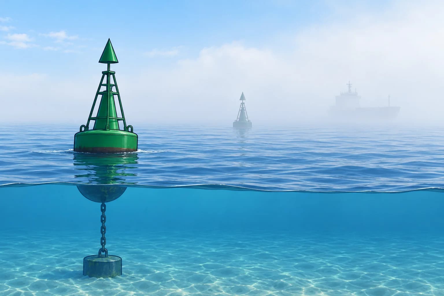
What visibility means
Visibility is the greatest distance at which you can see and recognise an object. In UK Met Office marine forecasts, distances are nautical miles (NM): good over 5 NM, moderate 2–5 NM, poor 1,000 m to 2 NM, very poor under 1,000 m. Check other services’ definitions. See the Forecast terms lesson.
Fog
Fog is a cloud touching the surface, made of tiny water droplets, that cuts visibility to less than 1,000 m. The Met Office calls it dense fog under 100 m. At sea, fog is one of the main causes of collisions and groundings.
Mist and haze
Mist is the same kind of droplets but thinner: visibility stays at 1,000 m or more, and the air feels damp. Haze is made of dry particles such as dust, salt or smoke, not water.
Other causes
Precipitation means rain, snow or hail. Heavy rain can cut visibility to a few nautical miles or less; snow can be worse than fog. In strong winds, spray and spindrift, fine spray blown from wave crests, also reduce visibility. At night, judge visibility by the lights you can see, not by the darkness.
Effects on board
In poor visibility, other vessels, buoys and the coast appear late. Lights look weaker than their charted range. Wind and temperature layers can bend sound, so a signal’s apparent direction and loudness may mislead you. Radar and AIS (Automatic Identification System, which shares vessel data by radio) help, but neither shows every vessel.
Key figures
- Fog
- Visibility under 1,000 m, water droplets
- Dense fog (Met Office)
- Visibility under 100 m
- Mist
- Water droplets, visibility 1,000 m or more
- Haze
- Dry particles: dust, salt, smoke
- Very poor (UK Met Office)
- Under 1,000 m in UK marine forecasts
Remember
- Fog: visibility under 1,000 m, made of water droplets.
- Mist: droplets, but visibility 1,000 m or more.
- Haze is caused by dry particles such as dust, salt or smoke.
- Rain, snow and spray also cut visibility.
- Fog signals do not give a reliable direction or distance.
Common mistakes
Wrong: Haze and mist are the same thing.
Right: Mist is water droplets; haze is dry particles such as dust or salt.
Wrong: You can tell where another vessel is from its fog signal.
Right: Wind and temperature layers can bend sound, and loudness is a poor guide to distance. Treat every fog signal as a warning, even if its bearing is uncertain.
Worked case
A UK Met Office marine forecast says "Visibility moderate or poor, occasionally very poor" with mild, moist south-westerly air. You plan to cross a busy shipping route. What visibility could you meet?
Show the answer
Mostly 1,000 m to 5 NM, but occasionally below 1,000 m. Fog is possible; the visibility wording alone does not identify the cause. Another vessel may appear late. Delay the crossing, or prepare fully for restricted visibility before you start, with radar and AIS if fitted, a radar reflector, sound signals and a dedicated lookout.
Practice question
Below which visibility is it called fog?
- 5,000 metres
- 2,000 metres
- 1,000 metres
- 100 metres
Show the answer
Answer: C. Fog reduces visibility to less than 1,000 m. Under 100 m is dense fog.
2 · Fog types
How fog forms: advection, radiation and sea smoke
Fog forms when air cools to its dew point, the temperature at which water vapour starts to condense, or gains moisture. At sea, advection fog is common.
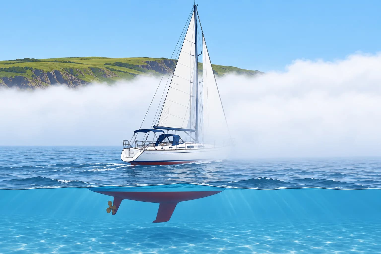
Advection fog (sea fog)
Advection fog forms when warm, moist air flows over a colder sea and cools to its dew point. It can cover large areas, last for days and persist in moderate or fresh winds. Sunrise does not guarantee clearance. It can thin or lift if the air warms or dries, or mixing increases. A change of air mass often helps; a wind shift helps only if conditions change.
Radiation fog
Radiation fog forms over land on clear nights with light wind, roughly 2–5 knots, when the ground cools and chills the moist air above it. It does not form over the open sea, because the sea hardly cools at night. But it drifts out of rivers and estuaries into harbours and a few miles offshore. It usually clears in the morning as the sun warms the land.
Sea smoke
Sea smoke, or steam fog, forms when very cold air flows over much warmer water. Water evaporates into the cold air and condenses at once, like steam over a hot bath. It is usually shallow, so mastheads may stick out above it. It is common in winter at high latitudes and in sheltered harbours on frosty mornings.
Frontal and coastal fog
Frontal fog can form when rain evaporates into colder air below and saturates it. Hill fog forms as moist air rises over hills and cools into cloud. Coastal headlands may disappear into low cloud while nearby water remains clear, or sea fog may spread ashore. Do not assume clear water means visible landmarks.
Key figures
- Advection (sea) fog
- Warm moist air over a colder sea; may persist in fresh wind
- Radiation fog
- Clear, light-wind night over land; usually clears as land warms
- Radiation fog wind
- Roughly 2–5 knots
- Sea smoke (steam fog)
- Very cold air over much warmer water; usually shallow
- Frontal fog
- Evaporating rain can saturate colder air below a warm front
Remember
- Advection fog: warm, moist air over a colder sea; sunrise does not guarantee clearance.
- Sea fog can persist in moderate or even fresh winds.
- Radiation fog forms over land on clear, calm nights and drifts into harbours.
- Sea smoke: very cold air over much warmer water.
- Hill cloud and sea fog moving ashore can hide coastal landmarks.
Common mistakes
Wrong: Fog always clears when the sun gets up.
Right: Radiation fog over land usually clears as the land warms. Sunrise does not guarantee sea-fog clearance; warming, drying or increased mixing may help.
Wrong: Fog only forms in calm conditions.
Right: Radiation fog needs light wind, but sea fog can persist in moderate or even fresh winds.
Wrong: Radiation fog forms far out at sea on clear nights.
Right: The sea hardly cools at night. Radiation fog forms over land and drifts out from estuaries and harbours.
Worked case
In May off north-west Spain, a mild, moist south-westerly of force 4 blows over a sea that is still cool. Fog has covered the coast since dawn. A crew member says it will burn off by noon. Is that likely?
Show the answer
This is likely to be advection fog. It may persist while moist air continues over the cold sea. Do not rely on clearing by noon. Use updated forecasts and observations before expecting clearance, and plan for poor visibility.
Practice question
How does advection fog form at sea?
- Cold air flows over a much warmer sea
- Warm moist air flows over a colder sea
- The sea surface cools on a clear night
- Rain from a cold front falls into warm air
Show the answer
Answer: B. Warm, moist air is cooled from below by the colder sea until it reaches its dew point.
3 · Forecasting fog
Forecasting fog with the dew point
The dew point is the temperature at which air becomes saturated. Sea colder than the arriving air’s dew point warns of sea-fog risk.
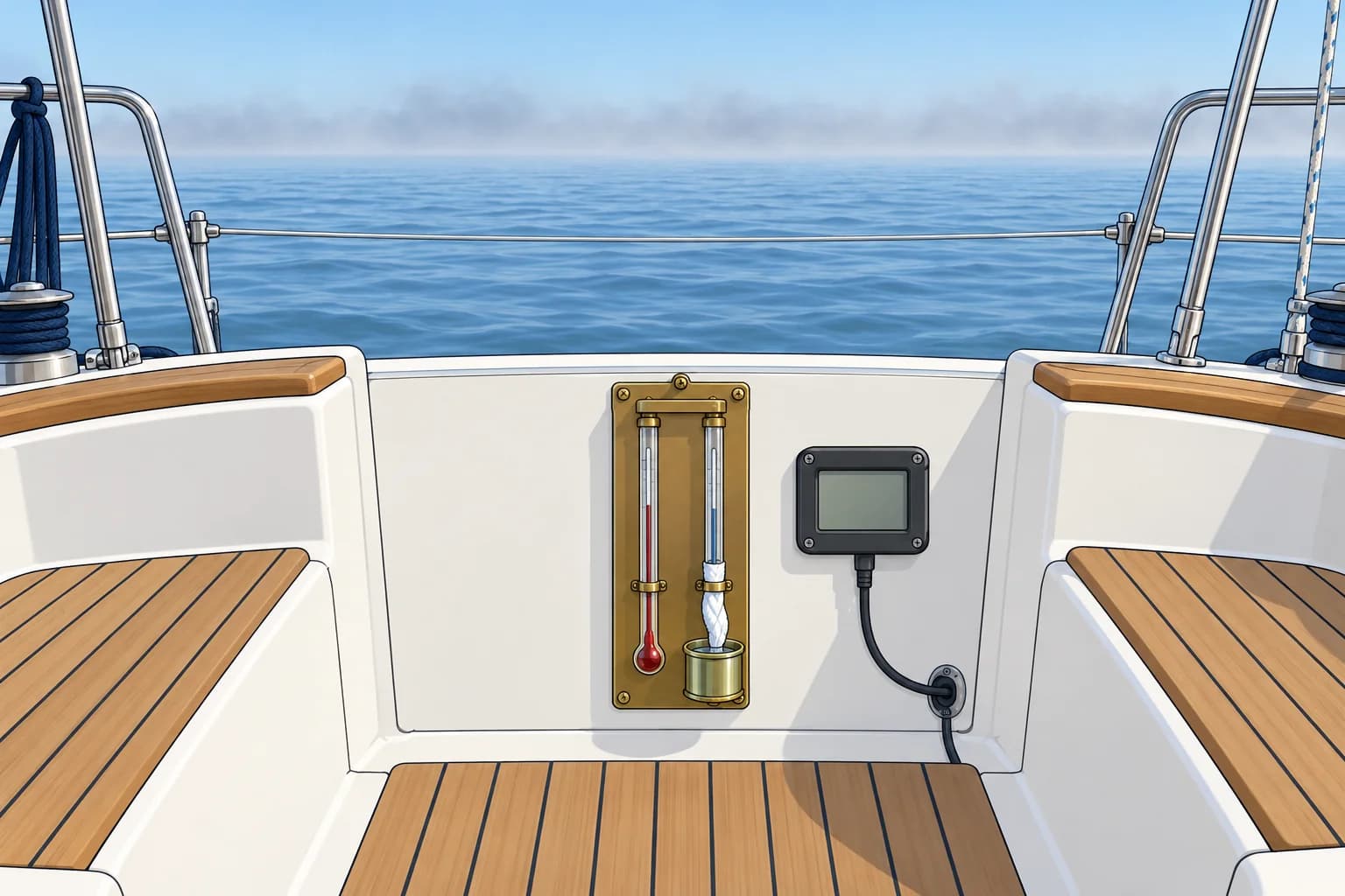
The sea fog test
Sea fog forms when water cools the air to its dew point. Compare the incoming air’s dew point with the sea surface temperature. If the sea is at or below that dew point, fog is possible. This comparison does not predict thickness or duration. Wind, mixing and time over cold water also matter.
Getting the numbers
A psychrometer has wet- and dry-bulb thermometers. Use their readings with its chart or a calculator to find dew point. An electronic temperature-and-humidity instrument may calculate it automatically. Get sea temperature from an onboard sensor, a bucket thermometer or forecast maps. Look at the air upwind of you too: that is the air arriving next.
Radiation fog test
Over land, compare the expected night minimum temperature with the evening dew point. A clear sky, light wind and a minimum at or below the dew point increase the risk of fog by dawn, especially in valleys and estuaries.
A worked example
The air flowing towards you is 17 °C with a dew point of 14 °C. The sea ahead is 12 °C. The sea is 2 °C below the dew point, so it may cool the air enough for fog to form. If the sea were 16 °C, above the dew point, sea fog from this cooling would be unlikely.
Other clues
The dew point spread is air temperature minus dew point. A spread closing to 1–2 °C warns of near-saturation, but does not guarantee fog. Damp decks may be dew. A fading horizon and forecast fog patches strengthen the warning: prepare early.
Key figures
- Sea-fog risk
- Sea temperature at or below the air's dew point
- Sea fog unlikely
- Sea temperature well above the air's dew point
- Radiation fog likely
- Night minimum ≤ dew point, clear sky, light wind
- Warning sign
- Small spread: little cooling needed for condensation
- Example
- Dew point 14 °C, sea 12 °C → increased sea-fog risk
Remember
- Compare the air's dew point with the sea temperature.
- Sea at or below the dew point: increased sea-fog risk.
- Over land, compare the night minimum with the dew point.
- A closing dew point spread warns of increasing fog risk.
- "Fog patches" in a forecast means a real chance of fog.
Common mistakes
Wrong: Compare the air temperature with the sea temperature.
Right: Compare the sea temperature with the incoming air’s dew point. Water at or below that dew point can cool the air to saturation; fog is possible, not certain.
Wrong: Only the air around the boat matters.
Right: Look at the air arriving from upwind and the sea ahead on your route.
Worked case
Your log at 0800, 1000 and 1200 shows air 18, 18, 17 °C and dew point 13, 15, 16 °C. A south-westerly carries the air towards a coast where the sea is 14 °C. What do you expect at your landfall this afternoon?
Show the answer
The dew point spread has closed from 5 °C to 1 °C. The incoming air’s dew point, 16 °C, is above the 14 °C sea near the coast. The cold sea can cool that air to its dew point, increasing sea-fog risk at landfall. Plan a safe approach in poor visibility, or choose charted water with enough depth and room to wait clear of traffic.
Practice question
Which comparison best forecasts sea fog?
- Air temperature against wind speed
- Sea temperature against tide height
- Pressure against the time of day
- Dew point against sea temperature
Show the answer
Answer: D. Sea fog forms when the sea cools the air to its dew point.
4 · In fog
What to do when fog comes
Prepare before fog arrives: fix your position, be seen and heard, slow down, look and listen, and avoid shipping lanes where safe.
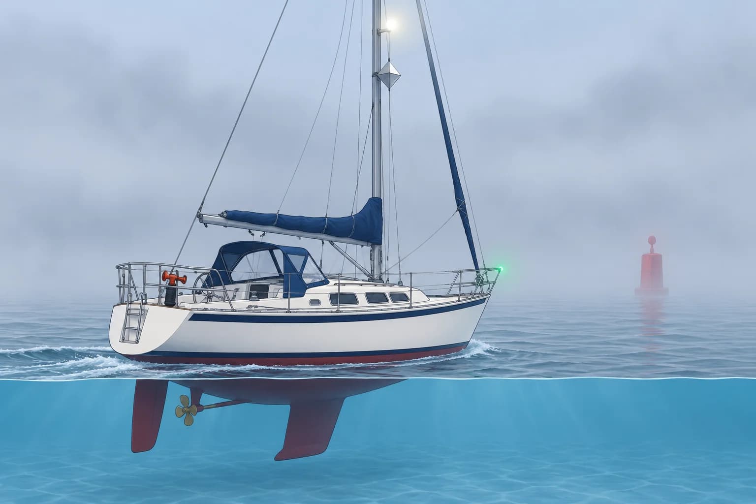
Prepare early
Fog often gives warning: a closing dew point spread, a grey horizon, a forecast of fog patches. Use that time. Fix your position on the chart and log it. Decide on a safe plan: continue, wait in safe water or head for an easy, well-marked harbour.
Be seen and heard
Switch on your navigation lights. Check that your radar reflector, which returns other vessels’ radar signals, is correctly mounted. Switch on any fitted radar target enhancer, a powered device that boosts your radar return, and AIS transmitter; an AIS receiver alone cannot transmit. These aids improve detection chances but do not guarantee it. Prepare sound signals. See COLREG Rules 19 and 35 for conduct and signals. Rule 19 applies to vessels not in sight of one another in or near restricted visibility.
Slow down and keep watch
Use a safe speed that lets you take effective avoiding action and stop within a distance appropriate to the conditions. Post a dedicated lookout where they can safely look, listen and communicate with the helm, away from engine noise where practical. Use radar and AIS if fitted, but remember that small boats may not show on either.
Keep out of trouble
Avoid shipping lanes where safe. A charted anchorage outside traffic may be safer. Check the approach, depth throughout the tide, shelter, holding and swinging room before approaching. Holding means how well the seabed grips your anchor; swinging room is space to turn around it. Shallow water alone is not safe: it can expose you to grounding or breaking seas.
Look after the crew
Everyone on deck wears a lifejacket. Have the liferaft and grab bag ready. Keep the engine ready to manoeuvre, even under sail. Keep a listening watch on VHF channel 16 and the coastguard's broadcasts for warnings and traffic.
Key figures
- Conduct in restricted visibility
- COLREG Rule 19 (COLREG module)
- Fog signals
- COLREG Rule 35 (COLREG module)
- Safe speed
- Effective avoiding action and an appropriate stopping distance
- Possible refuge
- Checked, sheltered anchorage outside traffic, with depth and room
When fog is coming
- Fix your position, log it and choose a plan: continue, wait or divert. — Once visibility goes, an accurate starting position is your best navigation aid.
- Lights on; check the reflector; switch on fitted radar enhancer and AIS transmitter. — These improve your chances of being detected; they do not guarantee it.
- Get sound signals ready and follow COLREG Rules 19 and 35. — Rule 19 covers vessels not in sight in or near restricted visibility. Rule 35 gives the required sound signals.
- Reduce to a safe speed and post a dedicated lookout and listener. — Safe speed allows effective avoiding action and a stopping distance appropriate to the conditions.
- Consider a charted, sheltered anchorage outside traffic. — Check approach, depth through the tide, holding and swinging room. Shallow water alone is not safe.
- Crew in lifejackets, engine ready, liferaft and grab bag to hand. — If a collision or grounding happens, there may be little time.
Remember
- Fix and log your position before the fog arrives.
- Lights on, reflector checked, fitted AIS transmitter on, required sound signals ready.
- Safe speed and a dedicated lookout and listener.
- Consider a charted, sheltered anchorage outside traffic; check depth, holding and swinging room.
- Lifejackets on, engine ready, grab bag to hand.
Common mistakes
Wrong: With radar and AIS, a lookout is not needed in fog.
Right: Small vessels may not show on radar or AIS. Keep a dedicated lookout and listening watch as well.
Wrong: Speed up to get through the fog quickly.
Right: Use a safe speed that lets you take effective avoiding action and stop within a distance appropriate to the conditions.
Wrong: Wait in the shipping lane until the fog lifts.
Right: Consider a charted, sheltered anchorage outside traffic. Check depth through the tide, shelter, holding and swinging room. Move only when safe.
Worked case
You are outside a shipping lane in a 9 m motorboat without radar. Fog is closing in. A nearby charted anchorage is clear of traffic, sheltered from the forecast wind and deep enough through low water. Do you start the crossing or wait?
Show the answer
Wait in the suitable anchorage before starting the crossing in worsening visibility. Fix and log your position; check the approach, depth, shelter, holding and swinging room. Use a safe speed and a dedicated lookout. Lights on, reflector checked, fitted AIS transmitter on. Use required fog signals and follow the linked COLREG guidance. Put on lifejackets, keep the engine ready and maintain a VHF watch.
Practice question
Fog is forecast within the hour. What should you do first?
- Fix and log your position
- Speed up towards the harbour
- Switch off radar to save power
- Lower your radar reflector
Show the answer
Answer: A. An accurate fixed position before visibility goes is your best starting point.