
Meteorology · Level R1 · 4 parts · about 12 min
Getting a marine forecast: sources, terms and timing
4 short parts: Sources · Forecast terms · Timing · Bulletin format. Each part explains the idea, then gives the points to remember, the common mistakes, a worked case and a practice question; the Academy unit adds all 24 check questions.
1 · Sources
Where to get a marine forecast
Use the official marine forecast from the national weather service first. Check the source, issue time and coverage of forecasts you receive.
The official forecast
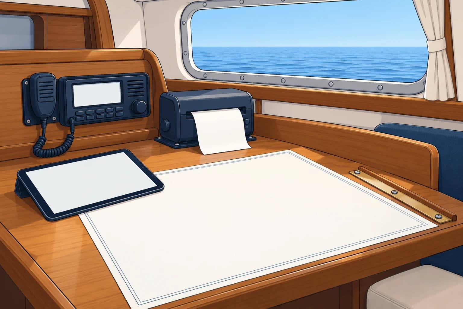
Each coastal country has a national meteorological service, such as the Met Office (UK), AEMET (Spain), Météo-France or DWD (Germany). Under World Meteorological Organization (WMO) rules, they write the official marine forecasts and warnings for their waters. A forecaster checks these against observations. Treat them as your reference; other sources are extra.
Coastal, offshore, high seas
Product boundaries vary by country. The UK inshore forecast extends to 12 nautical miles (nm) offshore; the French coastal bulletin extends to 20 nm. Offshore forecasts cover wider sea areas. High seas bulletins cover the ocean in 21 large forecast regions called METAREAs. Use the forecasts that cover your whole route, not just your harbour.
Radio and VHF
Coastguard and coast-radio stations broadcast forecasts and warnings on VHF (very high frequency) radio at set times. They announce broadcasts on channel 16, or by digital selective calling (DSC), an automated radio alert. Switch to the working channel they name and listen. In Spain, Salvamento Marítimo broadcasts this way; some countries also use medium-frequency radio or national public radio.
NAVTEX
NAVTEX automatically receives safety messages: 518 kHz in English, 490 kHz for national services; subject B means weather warnings, E weather forecasts. Receiver details belong to GMDSS.
Apps and websites
Apps may show computer-model output or official text. Check the forecast issuer and issue time, then read the current official marine forecast and warnings for your route. GRIB files and weather models have their own unit.
Key figures
- UK inshore forecast
- Coastal waters to 12 nm offshore
- France coastal bulletin
- Out to 20 nm from the coast
- High seas
- 21 METAREAs worldwide, broadcast by satellite and radio
- International NAVTEX
- 518 kHz, English; national NAVTEX often 490 kHz
- NAVTEX weather subjects
- B = weather warnings, E = weather forecasts
- VHF broadcasts
- Announced on channel 16 or DSC, then read on a working channel
Remember
- The national weather service's official forecast is your reference.
- Use the forecast that covers your whole route: coastal, offshore or high seas.
- VHF broadcasts are announced on channel 16, then read on a working channel.
- NAVTEX prints warnings (B) and forecasts (E) automatically.
- Apps may show model output. Check the issuer, issue time and current official text.
Common mistakes
Wrong: A weather app is as good as the official forecast.
Right: Apps may show model output or official text. Check the issuer and issue time, then read the current official marine forecast and warnings for your route.
Wrong: Listen to the forecast on channel 16.
Right: Channel 16 only carries the announcement. Switch to the working channel it names for the forecast itself.
Wrong: The harbour forecast is enough for a day trip along the coast.
Right: Read the forecast for every area your route crosses, and check whether you go beyond the coastal strip.
Worked case
You plan a 30 nm coastal passage in France, staying within 10 nm of the shore. A friend sends you a colourful app screenshot showing 12 knots all day. What else should you check?
Show the answer
Read the current official Météo-France coastal bulletin for each zone along your route, and any marine weather warnings. Note the issuer and issue time. Compare it with the app: if the official text gives stronger wind or gusts, allow for those figures. At sea, listen to French coast-radio VHF broadcasts announced on channel 16.
Practice question
Which source should you treat as your reference marine forecast?
- The forecast of the national weather service
- The weather app with the most detailed map
- The forecast given by the most boats in port
- The wind shown on the marina's own anemometer
Show the answer
Answer: A. The national meteorological service issues the official marine forecasts and warnings for its waters. Other sources add detail.
2 · Forecast terms
Forecast terms: wind, sea and visibility
Check the issuing service’s definitions. A marine forecast uses terms for mean wind, significant wave height and visibility.
Wind force
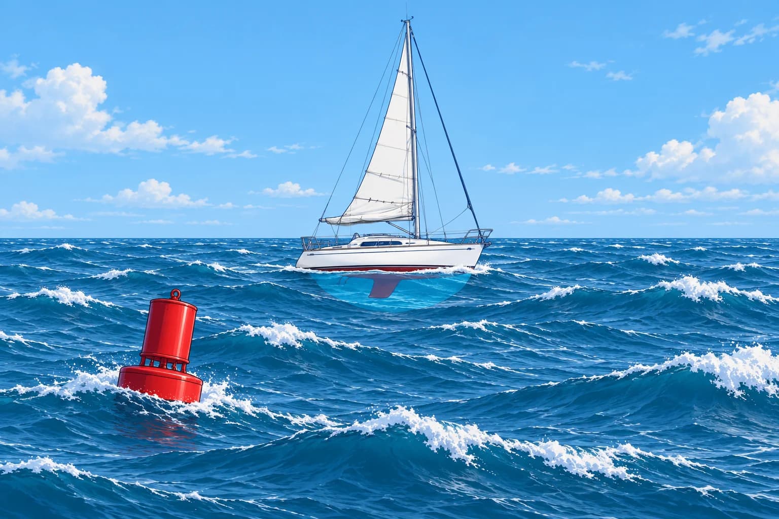
Marine forecasts give wind on the Beaufort scale, from force 0, calm, to force 12, hurricane force. Each force is a band of mean wind speed: force 4 is 11–16 knots, force 6 is 22–27 knots, force 8 is 34–40 knots. A knot is one nautical mile per hour. The Beaufort scale page in this module shows all thirteen forces with sea clues.
Gusts and gales
The forecast force is a mean wind. A gust is a short burst, lasting seconds, above the mean. A gale is force 8. The Met Office also issues a gale warning for gusts of 43–51 knots. Many coastal services warn earlier for small craft, for example at force 6 or 7. France warns its coastal strip from force 7.
Direction words
Wind direction is where the wind comes from: a westerly blows from the west. Veering means the direction turns clockwise, such as south-west to west. Backing means anticlockwise, such as west to south-west. Cyclonic means winds circulate around a low-pressure system within the forecast area, so directions differ across the area.
Sea state
Sea state describes wave height; some products give swell separately. Heights are significant wave heights: the average height of the highest third of waves. Individual waves can be much higher. UK/Spanish terms: smooth/marejadilla 0.1–0.5 m; slight/marejada 0.5–1.25 m; moderate/fuerte marejada 1.25–2.5 m; rough/gruesa 2.5–4 m; very rough/muy gruesa 4–6 m.
Visibility (UK Met Office)
Good: over 5 nautical miles (nm). Moderate: 2–5 nm. Poor: 1,000 m to 2 nm. Very poor: below 1,000 m. Fog can cause very poor visibility; heavy rain or snow can too. Check the issuing service’s definitions. "Occasionally poor" means poor for part of the forecast period.
Key figures
- Gale (force 8)
- 34–40 knots mean; UK warning also for gusts of 43–51 knots
- Veering / backing
- Clockwise / anticlockwise change of wind direction
- Significant wave height: slight / moderate
- Slight/marejada 0.5–1.25 m; moderate/fuerte marejada 1.25–2.5 m
- Significant wave height: rough / very rough
- Rough/gruesa 2.5–4 m; very rough/muy gruesa 4–6 m
- UK visibility: good / moderate
- Over 5 nm / 2–5 nm
- UK visibility: poor / very poor
- 1,000 m to 2 nm / below 1,000 m
Remember
- Beaufort force is a mean wind band; gusts are stronger.
- A gale is force 8, 34–40 knots. Coastal warnings may start at force 6 or 7.
- Wind is named from where it comes. Veering is clockwise, backing anticlockwise.
- Moderate sea: significant wave height 1.25–2.5 m; rough: 2.5–4 m. Individual waves can be higher.
- UK visibility very poor is below 1,000 m. Fog, heavy rain or snow can cause it.
Common mistakes
Wrong: Force 5 means the wind will never be stronger than 21 knots.
Right: Force 5 is a mean wind of 17–21 knots. Gusts can be well above it, and the forecast may say "occasionally 6".
Wrong: A northerly wind blows towards the north.
Right: Wind is named from where it comes. A northerly blows from the north towards the south.
Wrong: "Moderate" means pleasant conditions for any small boat.
Right: A moderate sea has significant wave heights of 1.25–2.5 m. Individual waves can be higher. That can be hard work or dangerous for a small open boat.
Worked case
The UK forecast reads: "Southwest 4 or 5, veering west 6. Slight or moderate. Showers. Good, occasionally poor." Your crew expects steady wind, no waves above the stated range and good visibility throughout. What needs correcting?
Show the answer
The mean wind is from the south-west at 11–21 knots, turning clockwise to the west at 22–27 knots. Gusts can be stronger. Significant wave height is 0.5–2.5 m; individual waves can be higher. Good visibility is over 5 nm, but occasionally poor means it can fall to 1,000 m–2 nm for part of the period. The wind, individual waves and visibility will not stay at one value.
Practice question
The wind changes from south-west to west. What has it done?
- The wind has backed
- The wind has veered
- The wind has freshened
- The wind is cyclonic
Show the answer
Answer: B. South-west to west is a clockwise turn, which is veering. Backing is anticlockwise.
3 · Timing
Timing words and when to check
In UK marine forecasts, timing words count from the issue time. Check the valid period and time basis, then check for updates before leaving and at sea.
Issue time and valid time
The issue time tells you when a forecast was issued. Its valid period tells you which hours it covers. UK shipping forecasts use UTC, Coordinated Universal Time. Always check the time basis printed on your product. Mainland Spain and metropolitan France use UTC+1 in winter and UTC+2 in summer; the Canary Islands are one hour behind mainland Spain.
Imminent, soon, later
In UK marine forecasts, these terms count from the issue time. Imminent: within 6 hours. Soon: 6 to 12 hours. Later: more than 12 hours. If a gale was "soon" in a warning issued at 0500 UTC and you read it at 1100 UTC, it may arrive at any time now.
How fast systems move
UK forecasts describe how fast a low- or high-pressure system moves. Slowly: under 15 knots. Steadily: 15–25 knots. Rather quickly: 25–35 knots. Rapidly: 35–45 knots. Very rapidly: over 45 knots. These speeds describe the system’s movement, not its wind speed.
When to check
Look at the outlook a few days ahead to choose your day. Read the full forecast the evening before and again just before you leave. At sea, listen to every new broadcast and warning. Write the main points in the log. A new forecast replaces the old one.
Key figures
- Imminent
- Within 6 hours of issue
- Soon
- 6 to 12 hours after issue
- Later
- More than 12 hours after issue
- System moving slowly / steadily
- Under 15 knots / 15–25 knots
- Rapidly / very rapidly
- 35–45 knots / over 45 knots
- Mainland Spain and metropolitan France
- UTC+1 in winter, UTC+2 in summer
Checking the weather for a day sail
- Two or three days before, read the outlook and look at the pressure chart. — It shows whether a front or strong wind is likely and helps you pick the day.
- The evening before, read the official forecast and warnings for every area on the route. — You can still change the plan or the departure time without pressure.
- Before leaving, read the latest issue. Note its issue time, time basis and valid period. — Timing words count from the issue time. Check that the valid period covers your passage, and convert times if needed.
- Compare it with what you see: wind, sky, sea and the barometer. — If reality is worse than the forecast, the forecast may be late or wrong.
- At sea, listen to each VHF broadcast or check NAVTEX and log the key points. — Warnings can be issued at any time; you need them before conditions arrive.
Remember
- UK timing words count from the issue time, not from when you read them.
- In UK forecasts: imminent within 6 h, soon 6–12 h, later over 12 h.
- UK shipping forecasts use UTC. Check your product’s time basis and convert to local time.
- Check days ahead, the evening before, before leaving and at sea.
- A newer forecast replaces the old one; log the key points.
Common mistakes
Wrong: "Soon" means within the next hour.
Right: In a UK marine warning, "soon" means 6 to 12 hours after the issue time. Check when the warning was issued.
Wrong: The forecast I read yesterday is still good for today.
Right: Forecasts are updated several times a day. Read the latest issue before you leave.
Wrong: Forecast times are in local time.
Right: UK shipping forecasts use UTC. Check the time basis printed on your product. Mainland Spain uses UTC+2 in summer; the Canary Islands are one hour behind.
Worked case
A UK gale warning issued at 0600 UTC says: "Southwest gale force 8 soon." You read it at 1000 local time in mainland Spain in July. A friend counts six more hours from when you read it. What is the forecast window, and why is your friend wrong?
Show the answer
In July, mainland Spain is UTC+2, so 1000 local is 0800 UTC: the warning is 2 hours old. "Soon" means 6–12 hours after issue, from 1200 to 1800 UTC, or 1400 to 2000 local time. Your friend is wrong because the hours count from 0600 UTC, not from when you read it. That is the forecast window, not an exact arrival time; check for updated warnings.
Practice question
A UK warning says a gale is "imminent". When is it expected?
- Within 6 hours of the issue time
- Between 6 and 12 hours after issue
- More than 12 hours after issue
- Within 1 hour of when you read it
Show the answer
Answer: A. Imminent means within 6 hours of the issue time. Soon is 6–12 hours; later is over 12 hours.
4 · Bulletin format
Reading a bulletin: the shipping forecast format
Read warnings, synopsis, then forecasts. In the UK shipping forecast, each area gives wind, sea state, weather and visibility.
Bulletin layout
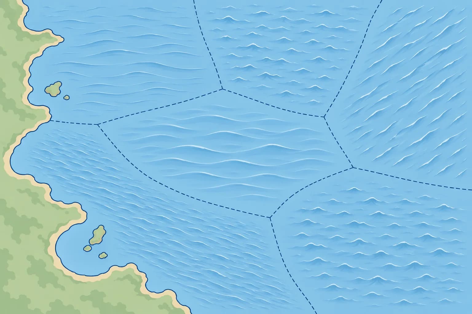
World Meteorological Organization (WMO) rules give high seas bulletins three parts: warnings, a synopsis and the forecasts. National products can use different elements and ordering. The UK shipping forecast is one example to learn. The Met Office issues four forecasts a day for 31 sea areas, each covering 24 hours. BBC Radio 4 broadcasts selected issues.
Warnings first
The bulletin opens with the gale warnings in force and the areas they cover. If your area is named, read that warning before anything else. Warnings are also broadcast separately, as soon as they are issued.
General synopsis
The general synopsis summarises pressure systems and their expected changes. Example: "Low, Biscay, 996, moving steadily northeast, expected Plymouth 1000 by 0600 tomorrow." The low is over Biscay with a central pressure of 996 hectopascals (hPa), a pressure unit. It is forecast to move northeast to Plymouth, with its pressure rising to 1000 hPa by 0600 UTC tomorrow. Here, 1000 is a pressure; 0600 is a time.
Area forecasts
In the UK shipping forecast, each sea area gets a short forecast in this order: wind direction and force, sea state, weather, visibility. Example: "Southwest 5 to 7, veering west later. Moderate or rough. Rain then showers. Moderate or good, occasionally poor." Because this order is fixed, labels are left out. Write it down as you listen. Other products may use a different order or give swell separately.
From bulletin to decision
A forecast is only useful once you decide something. Compare it with your boat, your crew and the worst part of the route, such as a headland or an exposed crossing. Plan for the upper figure: in "5 to 7", expect 7 at times. Deciding whether to go has its own practice unit in this module.
Key figures
- WMO high seas bulletin order
- Warnings → general synopsis → area forecasts
- UK area forecast order
- Wind → sea state → weather → visibility
- UK shipping forecast
- 31 sea areas, issued 4 times a day, each valid 24 h
- Synopsis gives
- System, position, pressure (hPa), movement, expected change
- "5 to 7"
- Wind in that range; plan for force 7 at times
Remember
- WMO high seas bulletins run: warnings, general synopsis, forecasts.
- UK shipping forecast area order: wind, sea state, weather, visibility.
- The synopsis gives each system’s position, pressure, movement and expected change.
- Write the forecast down as you listen; read your area's warning first.
- Plan for the upper end of any range.
Common mistakes
Wrong: Skip the synopsis and listen only to your own area.
Right: The synopsis explains why the weather will change and when. It helps you judge if the timing could be early or late.
Wrong: "Southwest 5 to 7" means about force 6 all day.
Right: The wind will be anywhere in that range. Plan for force 7 at times, and stronger gusts.
Wrong: A gale warning for the next sea area does not affect you.
Right: Weather systems move. Check where the low is going: the next area's gale may reach you.
Worked case
You hear: "Low, Fitzroy, 988, moving rapidly northeast, expected Fastnet 984 by midnight. Plymouth: Southwest 6 to gale 8, veering west 7 later. Rough or very rough. Rain then squally showers. Moderate, occasionally poor." Your crew says the low is weakening and plans for force 6. Correct the briefing.
Show the answer
The low is forecast to move from Fitzroy to Fastnet and deepen from 988 to 984 hPa, moving northeast at 35–45 knots. Plymouth’s mean wind is southwest force 6–8, later veering west force 7. Plan for force 8 and stronger gusts. Significant wave height is 2.5–6 m; individual waves can be higher. Rain gives way to squally showers. Visibility is 2–5 nm, occasionally 1,000 m to 2 nm.
Practice question
What comes first in a WMO high seas weather bulletin?
- The forecast for the coastal areas
- The warnings in force for the areas
- The general synopsis of pressure
- The reports from coastal stations
Show the answer
Answer: B. Warnings come first, then the general synopsis, then the area forecasts.