
Navigation · Level R2 · 3 parts · about 9 min
Reading a Portuguese tide table
3 short parts: Read the table · Depth · Real water. Each part explains the idea, then gives the points to remember, the common mistakes, a worked case and a practice question; the Academy unit adds all 18 check questions.
1 · Read the table
The Instituto Hidrográfico tide table: times, heights and time zones
The Portuguese tide table gives each day's high and low waters for the main ports. Times are in UTC, heights are metres above chart datum.
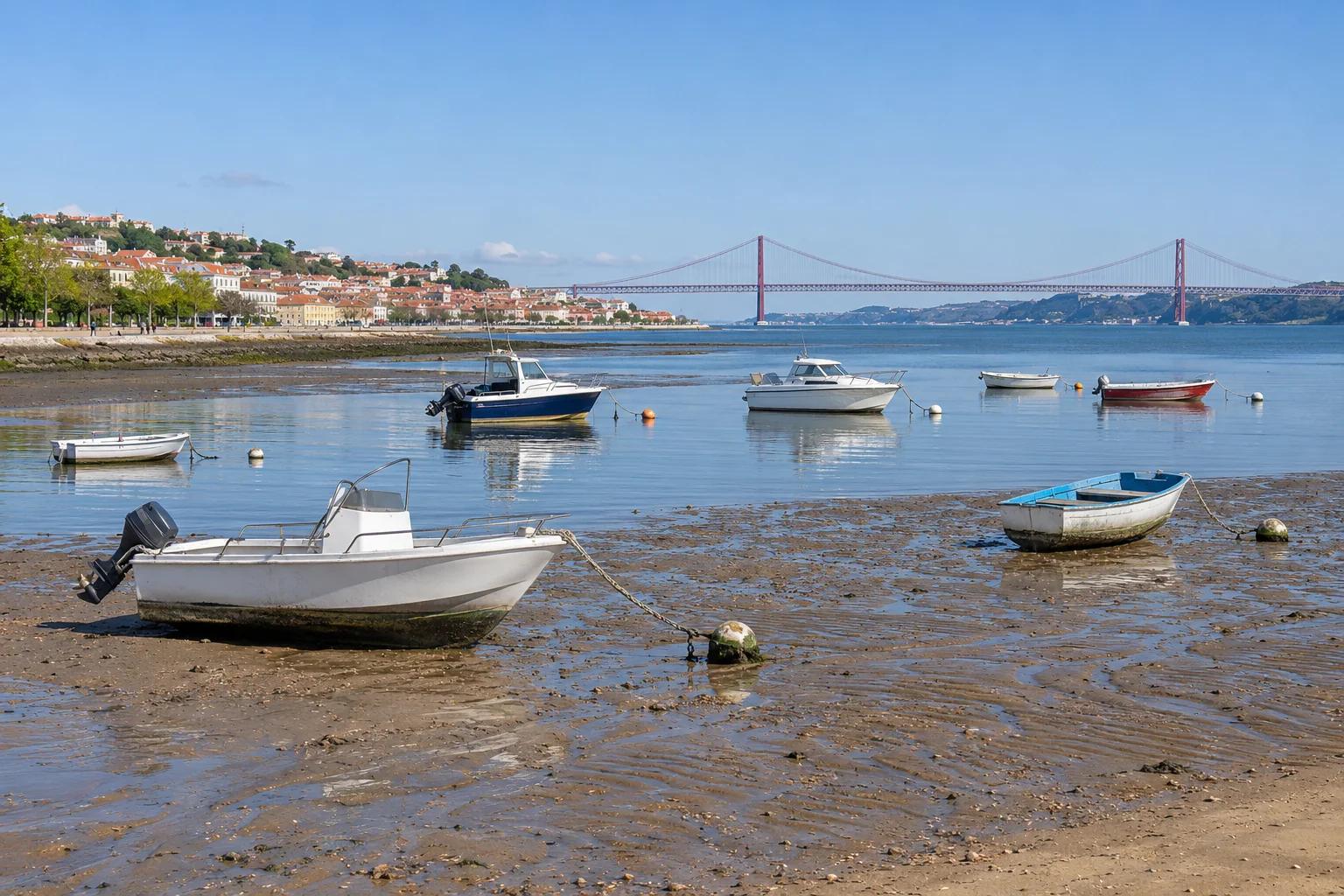
Who publishes it
The Instituto Hidrográfico (IH) of the Portuguese Navy publishes the Tabela de Marés every year. Volume I covers ports in mainland Portugal, the Azores and Madeira; it is now published in digital form. Each main port has monthly pages with the predicted preia-mar (PM, high water) and baixa-mar (BM, low water).
One day, four lines
Most days show four lines: two high waters and two low waters, each with a time and a height. Some days have only three, because the tide runs about 50 minutes later each day and one event slips past midnight. Read the day number and weekday on the left, then each time with its height.
Times are UTC
The page header says Horas do Fuso: 0 (TU): the predictions are in UTC. Mainland Portugal and Madeira use UTC in winter and UTC+1 in summer, so in summer you add one hour. The Azores are one hour behind the mainland. The IH warns that the table's time zone may differ from legal time.
Heights above chart datum
Heights are in metres above the zero hidrográfico (ZH), the same datum as the soundings on Portuguese charts. On Portuguese charts the ZH lies below the lowest astronomical tide, so the predicted heights are always positive. A low water of 0.8 m means 0.8 m of water above the charted sounding, not 0.8 m of depth.
Key figures
- Publisher
- Instituto Hidrográfico, Tabela de Marés, Volume I
- PM / BM
- Preia-mar (high water) / baixa-mar (low water)
- Time zone
- Fuso 0 (UTC); mainland summer legal time is UTC+1
- Height datum
- Zero hidrográfico (ZH), the chart datum
- Lisbon mean level
- 2.20 m above ZH (IH 2026)
Remember
- Each line is one high or low water: time and height.
- Times are UTC: add one hour for mainland summer time.
- Heights are metres above the zero hidrográfico, never depths.
- Always use the current year's table for the right port.
Common mistakes
Wrong: The times in the table are already in Portuguese legal time.
Right: The IH tables are in UTC (Fuso 0). In mainland summer time, add one hour.
Wrong: A low water of 0.8 m means there is 0.8 m of water where I am.
Right: It is 0.8 m above chart datum. Add it to the charted sounding to get the depth.
Wrong: Last year's table will do, the tides repeat.
Right: Predictions change every year. Use the current year's table for your port.
Worked case
On Saturday 1 August 2026 the IH table for Lisbon shows: 04:41 3.4 m, 10:25 0.8 m, 16:54 3.6 m, 22:52 0.7 m. You plan to leave in the afternoon. At what legal time is the afternoon high water, and how high is it?
Show the answer
16:54 is in UTC. On 1 August mainland Portugal is on summer time (UTC+1), so high water is at 17:54 legal time, with 3.6 m above chart datum. The morning low water was at 11:25 legal time with 0.8 m. Read the 16:54 line as a high water because it is higher than the low waters on either side.
Practice question
The Lisbon table shows a low water at 10:25 on a day in August. What is the legal time in mainland Portugal?
- 09:25
- 10:25
- 11:25
- 12:25
Show the answer
Answer: C. The table is in UTC. In August the mainland uses summer time, UTC+1, so 10:25 UTC is 11:25 legal time.
2 · Depth
From the table to the depth: soundings, drying heights and clearance under the keel
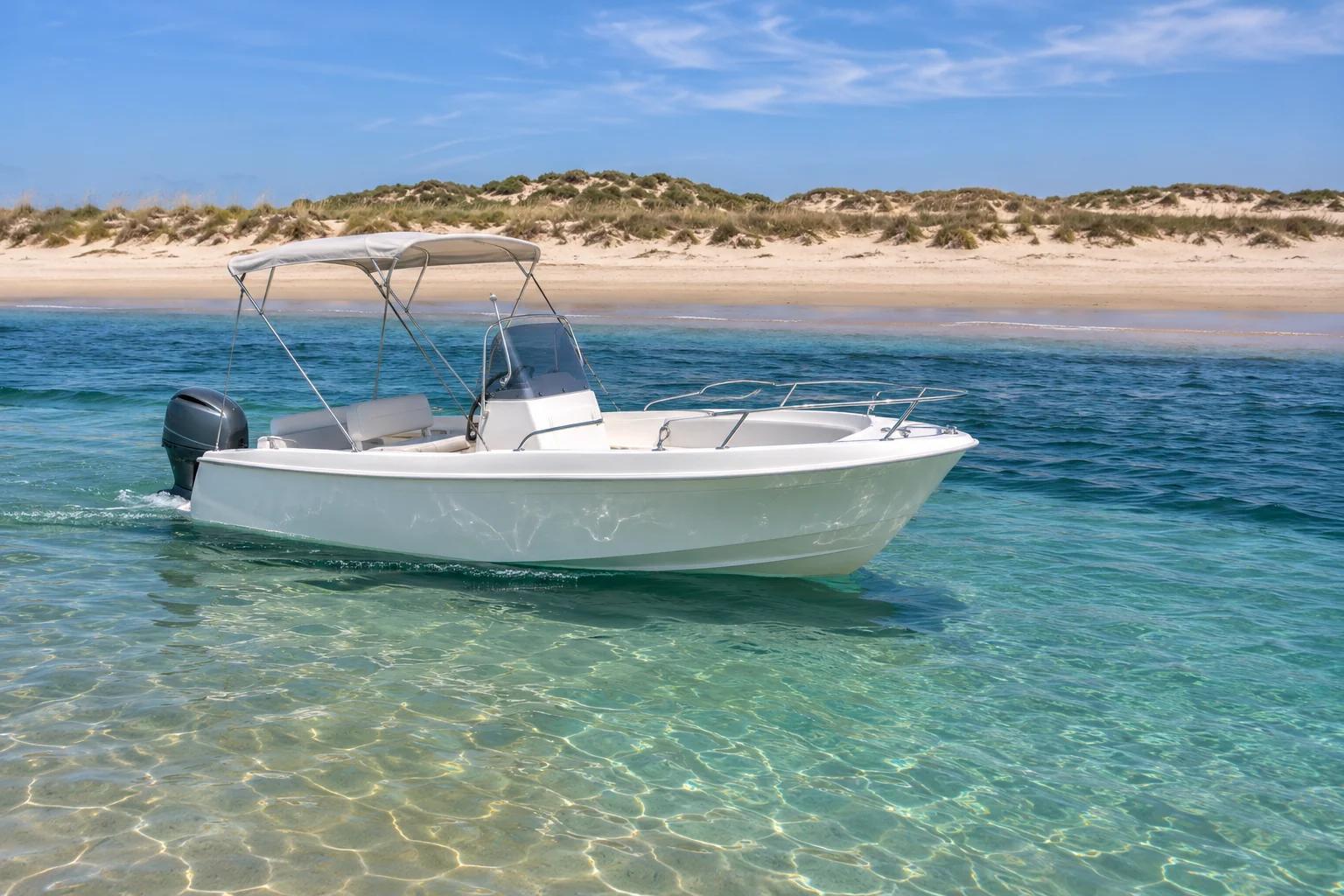
Depth is the charted sounding plus the height of tide. Over a drying bank, subtract the drying height instead.
Add the two
The chart gives the sonda, the depth below chart datum. The tide table gives the height of tide above the same datum. The depth of water at that moment is the sounding plus the height of tide. The IH table states this rule itself.
Drying heights
Some banks and bars dry at low water. The chart marks them with an underlined figure, the sonda a descobrir (drying height), measured above chart datum. Over such a bank the depth is the height of tide minus the drying height. If the result is zero or less, the bank is dry.
Clearance under the keel
You need the depth to exceed your draught plus a safety margin. The margin covers swell, the boat's squat and errors in the prediction. The calmer the water and the softer the bottom, the smaller the margin can be. On an exposed bar with swell, leave much more.
Plan for the worst moment
For a passage over shallow water, check the depth at the low water of the day you will be there. If it is not enough, you must time the crossing near high water. Working out the exact height at a given time is a Patrão Local skill: at Marinheiro level, cross near high water and keep a wide margin.
Key figures
- Depth
- Charted sounding + height of tide
- Over a drying bank
- Height of tide − drying height
- Water you need
- Draught + safety margin
- Worst case
- The day's low water
Remember
- Depth = sounding + height of tide, both from the same chart datum.
- Underlined figures are drying heights: subtract them from the height of tide.
- Need: draught plus a margin for swell, squat and prediction errors.
- If low water leaves too little, cross near high water.
Common mistakes
Wrong: The charted sounding is the depth I will find.
Right: The sounding is the depth at chart datum. Add the height of tide at that moment.
Wrong: An underlined 0.6 on the chart is 0.6 m of water.
Right: It is a drying height: the bank stands 0.6 m above chart datum. Subtract it from the height of tide.
Wrong: If depth equals my draught, I can pass.
Right: Keep a safety margin under the keel, more in swell or on a rocky bottom.
Worked case
Your motorboat draws 0.9 m and you want at least 0.5 m under the keel. To reach a beach you must cross a sandbank with a drying height of 0.6 m. Today's table gives low water 0.8 m and high water 3.6 m. Can you cross at low water? And at high water?
Show the answer
You need 0.9 + 0.5 = 1.4 m. At low water the depth over the bank is 0.8 − 0.6 = 0.2 m: you would ground. At high water it is 3.6 − 0.6 = 3.0 m, enough. Cross near high water and plan your return before the tide has fallen too far. If you need the exact time when 1.4 m is available, that calculation is taught at Patrão Local.
Practice question
The chart shows a sounding of 1.5 m. The tide table gives a height of 1.2 m. What is the depth?
- 0.3 m
- 1.2 m
- 1.5 m
- 2.7 m
Show the answer
Answer: D. Depth = sounding + height of tide = 1.5 + 1.2 = 2.7 m.
3 · Real water
Springs, neaps and the weather: why the real level differs from the table
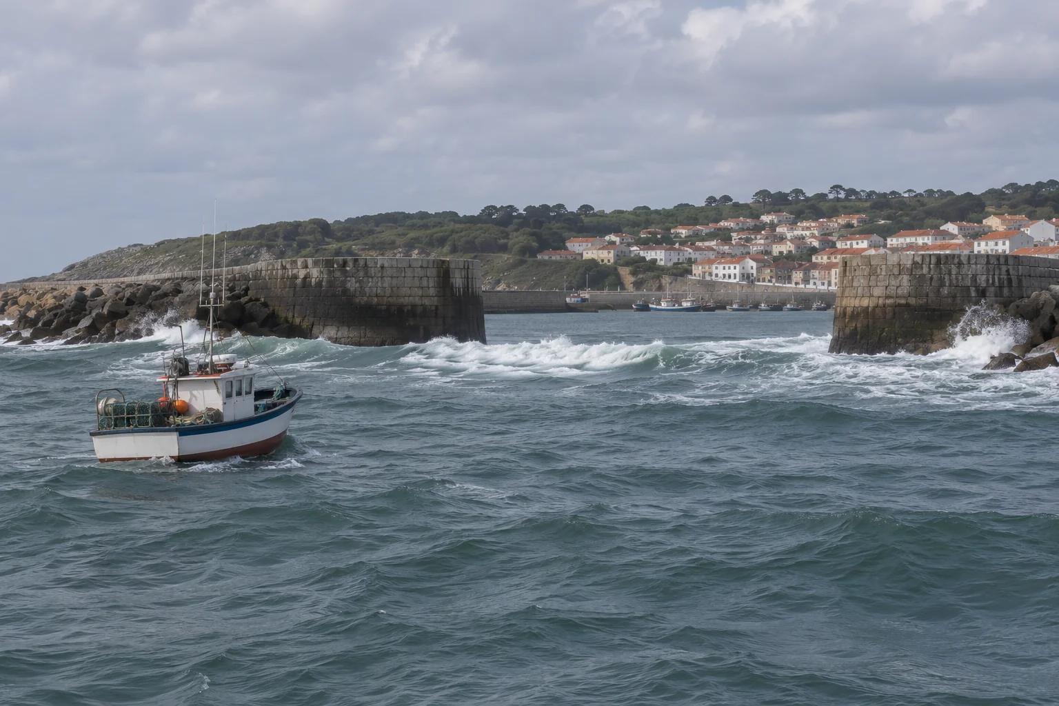
Springs and neaps follow the Moon. Pressure, wind and river floods can move the real water level well away from the prediction.
Springs and neaps
The table also shows the fases da Lua. Near new and full Moon the range is large: marés vivas (springs), with the highest high waters and lowest low waters. Near the quarters the range is small: marés mortas (neaps). Springs bring the shallowest low waters, so check shoals and moorings most carefully then.
Pressure
The table assumes average weather. The IH notes that a change of 10 hPa moves the level about 0.09 m: low pressure raises the water and high pressure lowers it. The water responds to the average pressure over a wide area, not instantly.
Wind and seiches
A strong wind blowing onshore piles water up and gives higher levels than predicted. An offshore wind lowers them. Wind also shifts the times. Sudden weather changes, such as a deep low or an active front, can set up seiches: oscillations of 5 to 30 minutes and up to 70 cm in some harbours.
Rivers and bars
In estuaries and rias, river floods raise the level and droughts lower it. The IH also expects levels about 0.1 m above the table, because the sea has risen since the datum was fixed. None of this guarantees more water: weather can make it lower. On Portuguese harbour bars, check the AMN estado das barras (bar status: open, conditioned or closed) before going out.
Key figures
- Marés vivas
- Springs: near new and full Moon, large range
- Marés mortas
- Neaps: near the quarters, small range
- Pressure effect
- 10 hPa ≈ 0.09 m (IH); low pressure raises the level
- Onshore wind
- Raises the level above the prediction
- Seiches
- 5–30 min oscillations, up to 70 cm
Remember
- Springs near new and full Moon; neaps near the quarters.
- Low pressure and onshore wind raise the level; high pressure and offshore wind lower it.
- Estuaries also react to river floods and droughts.
- The table is a prediction: keep a margin and check the bar status.
Common mistakes
Wrong: Marés vivas means the water is rough.
Right: Marés vivas are springs: large tidal range near new and full Moon, whatever the sea state.
Wrong: High pressure gives more water than predicted.
Right: High pressure lowers the level; low pressure raises it, about 0.09 m per 10 hPa according to the IH.
Wrong: The table is exact, so a 10 cm margin is enough.
Right: Weather often moves the level by more than 0.1 m. Keep a wider margin.
Worked case
It is two days after full Moon. A high-pressure system of 1,033 hPa has sat over the coast for days, about 20 hPa above average, with a fresh offshore wind. You plan to cross a shoal near low water with the margin you used at neaps. Is that wise?
Show the answer
No. Two days after full Moon you are at springs, with the lowest low waters. The high pressure lowers the level by roughly 0.18 m (2 × 0.09 m), and the offshore wind lowers it further. All three effects take water away. Cross nearer high water or choose another route, and add margin.
Practice question
When do marés vivas (spring tides) occur?
- In spring, from March to June
- Near new Moon and full Moon
- Near the first and last quarters
- Whenever the wind exceeds force 6
Show the answer
Answer: B. Springs come near new and full Moon, when the Sun and Moon pull in line. The name has nothing to do with the season.