
Navigation · Level R3 · 4 parts · about 13 min
Tidal stream and leeway: set, drift and course to steer
4 short parts: Set and drift · Course to steer · Worked example · From a fix. Each part explains the idea, then gives the points to remember, the common mistakes, a worked case and a practice question; the Academy unit adds all 25 check questions.
1 · Set and drift
Set, drift, rate and leeway
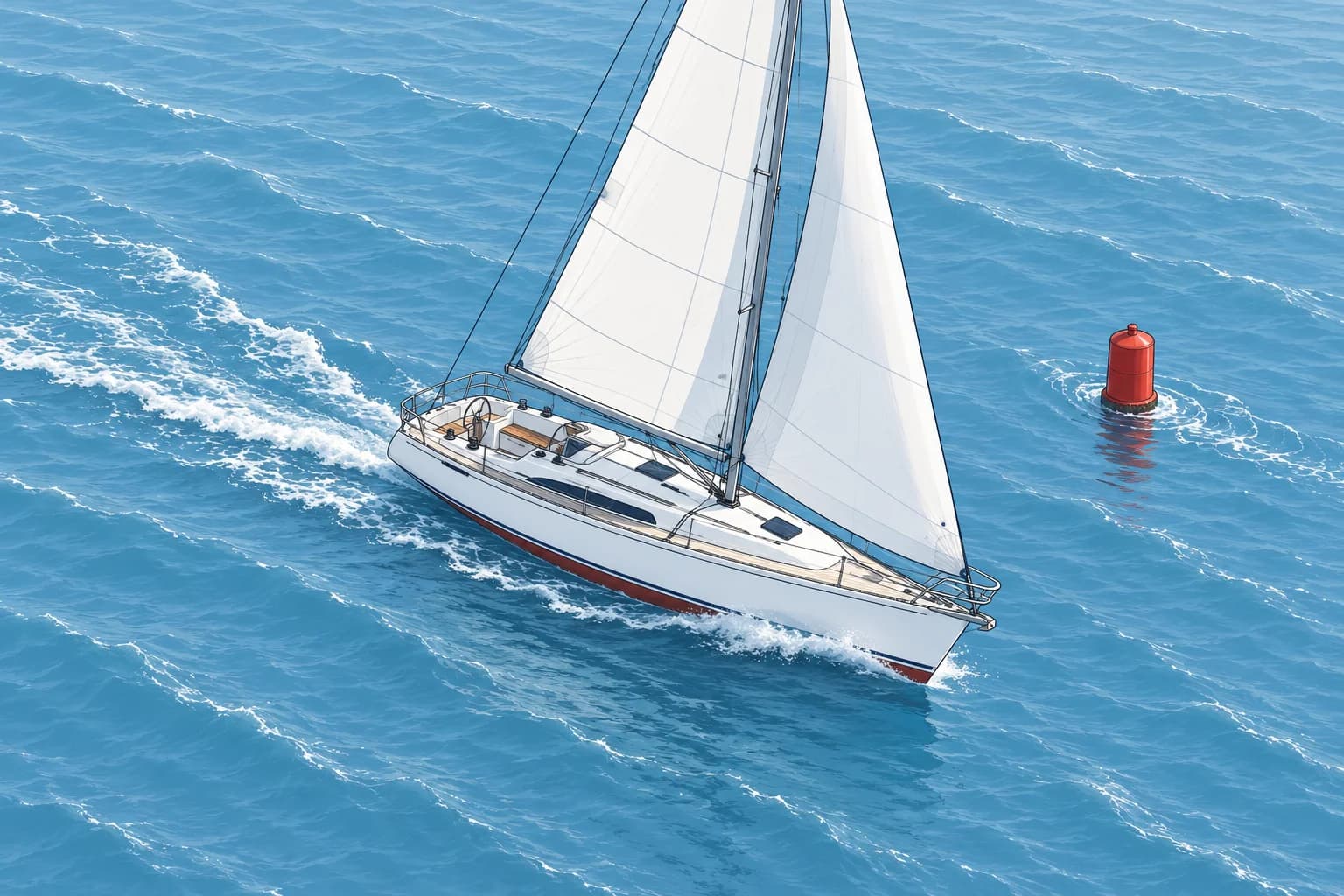
Two things move a boat off the line her bow points along: the water moving under her and the wind pushing her sideways. Name each one exactly.
Stream terms
A tidal stream is the horizontal movement of water caused by the tide. Set is the direction the stream flows towards, as a true bearing: a stream setting 090°T carries you east. Rate is its speed in knots (kn). Drift is the distance it carries you in a given time, in nautical miles (M): a 2.0 kn stream gives 3.0 M of drift in 1.5 hours. Wind is named the other way round: a westerly blows from the west.
Leeway
Leeway is sideways slip caused by wind, always downwind. The leeway angle lies between your heading (where the bow points) and your water track (your path through the water). It is often a few degrees. It is largest close-hauled (sailing as close to the wind as possible) in strong wind, or at low speed with high topsides (high hull sides above the water). Estimate it from the angle between your wake and the direction the bow points.
Three tracks
The heading is where the bow points. The water track adds leeway: your path through the water, at STW (speed through the water). A log is the instrument measuring speed and distance through the water. The ground track adds the stream too: your path over the seabed. GNSS (satellite navigation) shows COG (course over the ground) and SOG (speed over the ground).
Plotting arrows
On the chart, mark the water track with one arrowhead, the ground track with two and the tidal stream with three. This is the convention used on RYA courses and in many textbooks. Whatever convention you use, label every line so another crew member can read your plot.
Where the figures come from
Set and rate come from tidal diamonds and tidal stream atlases (Tidal streams unit), from pilot books, or from your own fixes (the last lesson of this unit). Non-tidal currents work the same way, such as the near-permanent east-going surface current through the Strait of Gibraltar.
Key figures
- Set
- Direction the stream flows TOWARDS, in degrees true
- Rate
- Speed of the stream in knots
- Drift
- Distance carried = rate × time, in M
- Leeway angle
- From heading to water track, always downwind
- Plot arrows
- Water track 1, ground track 2, tidal stream 3 arrowheads
Remember
- Set is where the stream goes, in degrees true; wind is named for where it comes from.
- Drift = rate × time. A 1.5 kn stream for 2 hours gives 3.0 M.
- Leeway pushes you downwind of your heading, onto the water track.
- Heading + leeway = water track; water track + stream = ground track (COG and SOG).
Common mistakes
Wrong: A stream setting 270°T comes from the west.
Right: Set is where the stream goes. A stream setting 270°T carries you west; it comes from the east.
Wrong: Drift and rate are the same thing.
Right: Rate is a speed in knots; drift is the distance in miles over a stated time.
Wrong: Motorboats make no leeway.
Right: Any boat makes leeway. High topsides and low speed make it worse.
Worked case
You steer 180°T at 5.0 kn STW. The atlas gives a stream setting 270°T at 1.5 kn for the next 2 hours. The wind is from the east and gives about 5° of leeway. A crew member says the wind and stream cancel. Do you agree?
Show the answer
No. Both carry you west. The east wind pushes you west of your heading, so the water track is about 185°T. The stream adds 3.0 M of drift to the west over the 2 hours (1.5 kn × 2 h). Your ground track will lie well west of 180°T. To hold a ground track of 180°T, you must steer east of it. The next lesson shows how to work out that course.
Practice question
A tidal stream is setting 045°T. Which way does it carry you?
- Towards the south-west
- Towards the north-east
- Towards the north-west
- Towards the south-east
Show the answer
Answer: B. Set is the direction the water flows towards, so 045°T carries you to the north-east.
2 · Course to steer
Course to steer: the vector triangle
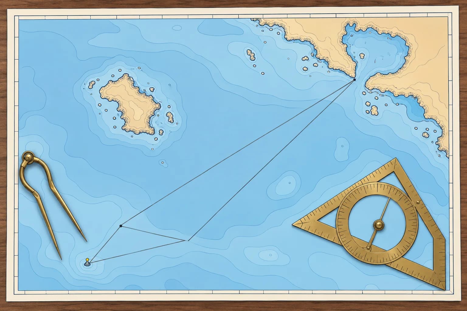
To follow a straight line over the ground through a cross-stream, aim up-stream of it. A vector triangle tells you how far, and your speed over the ground.
Why you need it
With a steady cross-stream, holding your initial heading towards the destination gives a displaced straight ground track. If you keep turning the bow towards the destination, your ground track curves down-stream. A course to steer (CTS) offsets the stream so you can follow the planned ground track.
The triangle
A vector is an arrow showing direction and distance. Three vectors form the triangle: the stream, your movement through the water and your movement over the ground, all for the same time. You know the ground-track direction, the stream and your STW. The triangle gives the water-track direction and the distance made good, which gives your SOG.
One hour or more
Use a one-hour triangle for a short leg with a steady stream. For a longer crossing, estimate the duration. Lay off each hour's stream end to end, including any partial hour, then STW × total time. Adjust the trial duration until the cut reaches the destination. This gives one water track for the crossing, but changing streams can carry you off the straight line. Check intermediate positions and clearance. Use hourly courses if you must hold the planned line. This method does not guarantee the shortest passage.
Leeway and compass last
The triangle gives a water track. If you make leeway, steer that many degrees into the wind (towards it), so the leeway brings you back onto the water track. Then convert from true to magnetic and compass (Compass course unit; /navigation/compass-course also has a calculator for this triangle).
Check it is possible
If the stream's component across your track is faster than your STW, no heading can hold the track. A strong foul stream (one running against you) can leave you with little or no progress. Then choose another time, another route or a nearer destination.
Key figures
- One-hour triangle
- 1 h of stream + 1 h of STW; AD = SOG
- Several hours
- Hourly streams end to end, then STW × number of hours
- Leeway
- Steer into the wind by the leeway angle
- Order of corrections
- Stream → leeway → variation → deviation
Plotting a one-hour course to steer
- Draw the ground track from start A through destination B and beyond. — This is the line you want over the seabed, checked clear of dangers.
- From A, lay off one hour of stream (set and rate) to point C; mark it with three arrowheads. — C is where the water alone would carry you in that hour.
- Open the dividers to one hour of STW on the latitude scale and, from C, cut the ground track at D. — CD is the boat's movement through the water in the same hour.
- Measure the direction of CD and mark it with one arrowhead. — This is the water track to steer, before leeway.
- Measure AD: that distance is your SOG. Divide the distance to B by it for the time. — SOG, not STW, gives a true ETA.
- Apply leeway into the wind, then variation and deviation; give the helm a compass course. — The helm steers a compass heading, not a true water track.
Remember
- Aim up-stream; continually pointing the bow at the destination gives a curved track down-stream.
- Draw the STW vector from the end of the stream vector, to cut the ground track.
- Distance made good in one hour is your SOG; use it for the ETA.
- Apply leeway into the wind after the triangle, then the compass corrections.
Common mistakes
Wrong: Draw the boat's speed from the start position A.
Right: Draw it from C, the end of the stream vector, so it cuts the ground track.
Wrong: Apply leeway downwind of the water track.
Right: Leeway already pushes you downwind. Steer into the wind so you end up on the water track.
Wrong: Work out the ETA from STW.
Right: Use SOG, the distance made good along the ground track per hour.
Worked case
You plan a 3-hour crossing at 5.0 kn STW. The streams are: first hour 200°T 1.0 kn, second hour 220°T 1.5 kn, third hour 240°T 1.0 kn. How do you plot one water track for the crossing? Will this keep you on the straight ground track?
Show the answer
Lay off 1.0 M on 200°T, 1.5 M on 220°T and 1.0 M on 240°T end to end from A. From the last endpoint, use a 15 M radius to cut the ground-track line at D. The joining vector gives your water track. AD ÷ 3 gives average SOG. Check that D reaches the destination in the assumed three hours; otherwise revise the duration and streams. The ground path may curve; check intermediate positions for clearance. Then apply leeway and compass corrections.
Practice question
In the triangle, where do you start the boat's STW vector?
- At the passage start position A
- At the end of the stream vector
- At the planned destination B
- Halfway along the ground track
Show the answer
Answer: B. From C, the end of the stream vector, open the dividers to the STW distance and cut the ground track.
3 · Worked example
Worked example: course to steer and ETA
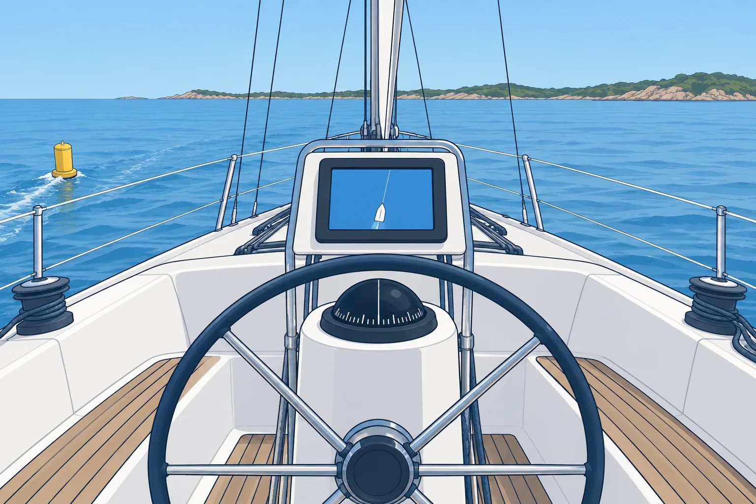
Work one course to steer from start to finish with real numbers, then check it on the GNSS once you are under way.
The data
At 1000 you leave a buoy for a harbour entrance 12.0 M away on a ground track of 045°T. Your STW is 6.0 kn. The stream for the next two hours sets 120°T at 2.0 kn. The wind is from the east and gives 5° of leeway. Variation is 3°W, and the deviation card shows 1°E for headings near 034°M.
The triangle
Draw 045°T from the buoy, A. Lay off the stream, 2.0 M on 120°T, to C. From C, open the dividers to 6.0 M and cut the 045°T line at D. CD measures 026°T: that is the water track to steer. AD measures 6.2 M, so your SOG is 6.2 kn. The stream is partly fair (running with you), so you go faster over the ground than through the water.
ETA
Time = distance ÷ SOG = 12.0 ÷ 6.2 = 1.94 hours, about 1 h 56 min, so your ETA is about 1156. The passage is under two hours and the stream is forecast to stay the same, so one one-hour triangle is enough.
Leeway and compass
Heading roughly north-north-east, the east wind is on your starboard side and pushes you to port. Steer 5° into the wind, to starboard: 026 + 5 = 031°T. West variation is added going from true to magnetic: 031 + 3 = 034°M. East deviation is subtracted going to compass: 034 − 1 = 033°C. Give the helm 033°C.
Check under way
Check COG, SOG and XTE (cross-track error, your distance off the planned line) soon after departure and regularly afterwards. Expect about 045°T and 6.2 kn. COG shows direction, not which side of the line you occupy. Use your position and XTE trend to decide whether a correction is needed. Check the return track for dangers, make a small correction, recheck and log it.
Key figures
- Water track (triangle)
- 026°T
- SOG
- 6.2 kn
- Time and ETA
- 12.0 ÷ 6.2 = 1 h 56 min; ETA about 1156
- With 5° leeway
- 031°T
- Magnetic, then compass
- 034°M (3°W), then 033°C (1°E)
Remember
- Stream 2.0 M on 120°T, STW 6.0 M from its end: water track 026°T, SOG 6.2 kn.
- ETA from SOG: 12.0 M ÷ 6.2 kn ≈ 1 h 56 min.
- Leeway into the wind: 031°T; then 034°M and 033°C for the helm.
- Check COG, SOG and XTE soon after you start, and adjust.
Common mistakes
Wrong: Point the bow at 045°T and let the stream sort itself out.
Right: The stream would carry you south-east of the line all the way. Steer the course from the triangle.
Wrong: Give leeway the wrong way: 026 − 5 = 021°T.
Right: The east wind pushes you to port, so steer 5° to starboard, into the wind: 031°T.
Wrong: ETA = 12.0 ÷ 6.0 = 2 hours.
Right: That uses STW. Use SOG: 12.0 ÷ 6.2 ≈ 1 h 56 min.
Worked case
Same passage: 12.0 M on 045°T, STW 6.0 kn, east wind, 5° of leeway, variation 3°W, deviation 1°E. But the stream is now forecast to set 120°T at 3.0 kn. Work out the new course to steer, SOG, ETA from 1000 and compass course.
Show the answer
Lay off 3.0 M on 120°T, then 6.0 M from its end to cut 045°T. The water track is about 016°T and SOG about 6.0 kn: the stronger stream needs a bigger correction and gives almost no gain in speed. Time is 12.0 ÷ 6.0 = about 2 h, so the ETA is about 1200. With leeway, steer 021°T, then 024°M; with 1°E deviation still on the card for that heading, 023°C.
Practice question
For the 045°T ground track and stream setting 120°T, where should the water-track direction lie?
- To starboard of 045°T
- Along the 045°T track
- To port of 045°T
- Along the 120°T set
Show the answer
Answer: C. The stream pushes you to starboard of the 045°T line. Aim up-stream, to port of it, so your movement through the water counters that sideways push.
4 · From a fix
Finding set and drift from a fix
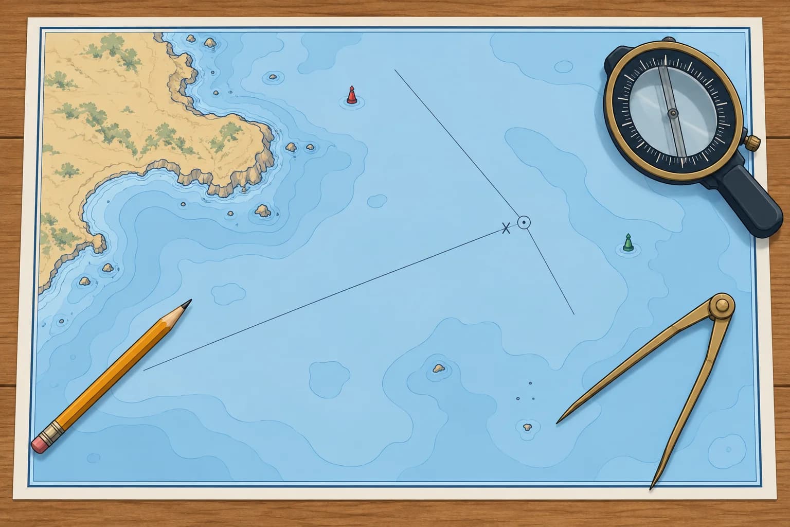
Plot where your boat would be without a stream, then compare it with a fix. The difference gives set and drift, together with any input errors.
The idea
From your last fix, lay off your water track (heading corrected for leeway) and the distance run on the log. This gives the position you would have reached with no stream; the Dead reckoning unit names this kind of position and its symbol. Compare this with your checked fix for the same time. The line from the no-stream position to the fix shows the stream plus any input errors: its direction is the set, its length the drift.
Rate
Drift is a distance over the time elapsed. Divide it by the hours to get the rate: 2.1 M of drift in 1 h 30 min is 2.1 ÷ 1.5 = 1.4 kn. Use the checked measurement alongside the next leg's predicted stream when updating your course to steer.
Worked example
At 0900 you fix your position at A; the log reads 10.0 M. You hold a water track of 270°T. At 1030 the log reads 17.5 M: 7.5 M through the water. Plot 7.5 M along 270°T from A to W. The 1030 fix lies 2.1 M from W in the direction 030°T. So the stream set 030°T, drift 2.1 M, rate 1.4 kn.
What else it holds
The residual (the remaining offset) holds every other error too: a wrong leeway estimate, a log that reads high or low, compass error and poor steering. A poor fix gives a false answer as well. Check the inputs before relying on the result, then repeat the measurement.
Use it ahead
The measured vector averages the current over the elapsed interval and includes errors. Compare it with the prediction for the same interval and area. For the next leg, start with its predicted set and rate; adjust only for a checked discrepancy likely to persist. A measured 1.4 kn against a predicted 1.0 kn does not prove that the next hour will also be stronger. Measure again.
Key figures
- Set
- Direction from the no-stream position to the fix
- Drift
- Distance from the no-stream position to the fix
- Rate
- Drift ÷ hours elapsed
- Example
- 030°T, 2.1 M in 1.5 h = 1.4 kn
Remember
- Plot the no-stream position from water track and log distance, then fix.
- No-stream position → fix: direction = set, length = drift.
- Rate = drift ÷ time. 2.1 M in 1.5 h = 1.4 kn.
- The result includes leeway, log and compass errors: check before you trust it.
Common mistakes
Wrong: Measure from the fix back to the no-stream position.
Right: Measure from the no-stream position to the fix. The other way gives the reciprocal, 180° wrong.
Wrong: The line from the last fix to the new fix shows the stream.
Right: That line gives the direction and distance made good between fixes, not the stream.
Wrong: The measured vector is pure tidal stream.
Right: It also contains leeway, log and compass errors, and any error in the fix.
Worked case
At 1400 you fix at A, then steer 180°T at 5.0 kn STW, log checked. You plot your no-stream position using 180°T with no leeway allowance. At 1500 the fix lies 1.0 M east of it. The atlas predicted 0.5 kn east. A west wind is blowing. What can you conclude?
Show the answer
The residual is 1.0 M east in one hour: set 090°T, rate 1.0 kn. It includes any unallowed leeway and other errors, so it does not establish a 1.0 kn tidal stream. Check the inputs and estimate leeway before attributing the remainder to current. Use the next leg's predicted stream with a justified adjustment; do not add leeway again to the full residual. Repeat the measurement.
Practice question
From the no-stream position to the fix you measure 2.4 M on 150°T after 2 hours. What is the stream?
- Set 330°T, rate 1.2 kn
- Set 150°T, rate 2.4 kn
- Set 150°T, rate 1.2 kn
- Set 330°T, rate 2.4 kn
Show the answer
Answer: C. Set is the direction towards the fix, 150°T. Rate = 2.4 M ÷ 2 h = 1.2 kn.