
Navigation · Level R4 · 5 parts · about 16 min
Nautical publications and chart corrections: almanacs, pilot books, lists of lights and Notices to Mariners
5 short parts: Almanacs & pilots · Lights & radio · Notices · Paper charts · ENC & plotter. Each part explains the idea, then gives the points to remember, the common mistakes, a worked case and a practice question; the Academy unit adds all 27 check questions.
1 · Almanacs & pilots
Almanacs, pilot books and sailing directions
Charts show where things are. Almanacs and pilot books tell you how to use a coast: tides, ports, approaches, dangers and local rules.
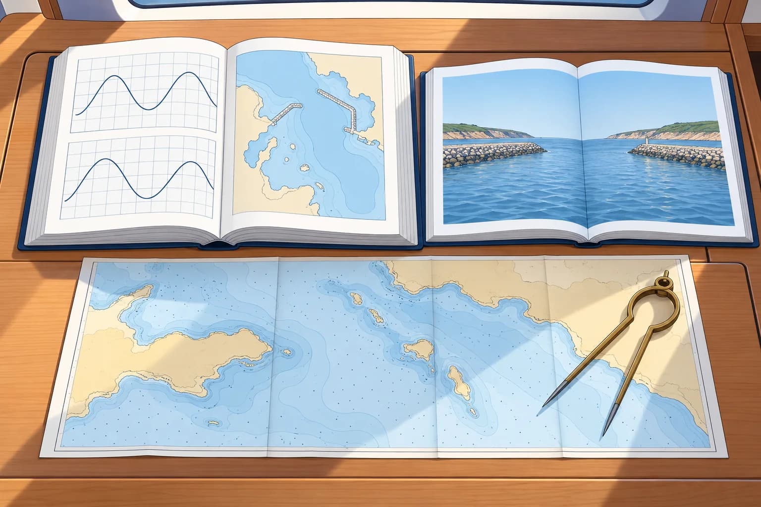
Two kinds of almanac
A nautical almanac, such as The Nautical Almanac of the UK and US almanac offices, gives the positions of the sun, moon, planets and stars for each hour of the year. You need it for celestial navigation. A yachtsman's almanac, such as Reeds, is a different book: one volume with tide tables, tidal stream diagrams, port information, lights, radio and weather services for a region. It is updated every year.
Sailing directions
Sailing directions, also called pilots, describe the coast for ships: approaches, anchorages, dangers, port facilities, regulations and weather. Official series include ADMIRALTY Sailing Directions (NP numbers), the US NGA Sailing Directions (Pubs 120 to 200, free to download) and, for Spain, the Derroteros of the IHM (Instituto Hidrográfico de la Marina).
Pilot books for yachts
Yacht pilot books or cruising guides are written for small craft. They give harbour plans, depths, berthing, anchorages and photos of entrances. They are often the best guide to a small harbour, but they are private books, so check their edition date and compare with corrected official charts and notices.
Spanish equivalents
In Spain, the Real Instituto y Observatorio de la Armada (ROA) publishes the Almanaque Náutico, the astronomical almanac. The IHM publishes Derroteros (sailing directions), the Libro de Faros y Señales de Niebla (lights and fog signals), the Anuario de Mareas (tide tables) and the Catálogo de Cartas Náuticas (chart and publication catalogue).
Keep them current
Official publications are corrected by Notices to Mariners and replaced by new editions. A yachtsman's almanac needs its free supplements or online updates. Write the date of each update inside the cover, so you know how current it is.
Key figures
- Nautical almanac
- Sun, moon, planets and stars for celestial navigation
- Yachtsman's almanac
- Tides, ports, lights, radio and weather for a region; yearly
- Sailing directions
- ADMIRALTY NP series; NGA Pubs 120–200; IHM Derroteros
- Spanish terms
- Almanaque Náutico (ROA), Derrotero, Catálogo de Cartas (IHM)
Remember
- A nautical almanac is for celestial navigation; a yachtsman's almanac is a regional handbook.
- Sailing directions describe coasts, ports and dangers for ships; pilot books do the same for yachts.
- Spain: Almanaque Náutico (ROA); Derroteros, Libro de Faros, Anuario de Mareas (IHM).
- Check edition dates and apply corrections and supplements.
Common mistakes
Wrong: The Nautical Almanac contains the tide tables.
Right: It gives celestial data. Tide tables come from tide-table publications or a yachtsman's almanac.
Wrong: A cruising guide replaces the official chart and notices.
Right: It is a private guide. Use it with corrected official charts and the latest notices.
Worked case
Your three-year-old cruising guide shows an entrance through a breakwater. The corrected chart shows it closed. You plan your first visit to this Spanish harbour. What do you do?
Show the answer
Do not use the entrance shown only in the old guide. Check the current IHM Derrotero, notices and official harbour information for the usable approach. Check the guide publisher's updates too. Use the guide for small-craft detail only where it agrees with current sources, then revise your passage plan.
Practice question
What do you need a nautical almanac for?
- Finding tidal heights at a standard port
- Correcting paper charts each week
- Finding a harbour's working VHF channel
- Celestial navigation by sun and stars
Show the answer
Answer: D. A nautical almanac gives the positions of celestial bodies. Tides and port data are in other books.
2 · Lights & radio
Lists of lights, lists of radio signals and tide tables
Lists of lights give details of listed lights. Radio lists give stations and services. Tide tables give predictions. Check their coverage for your passage.
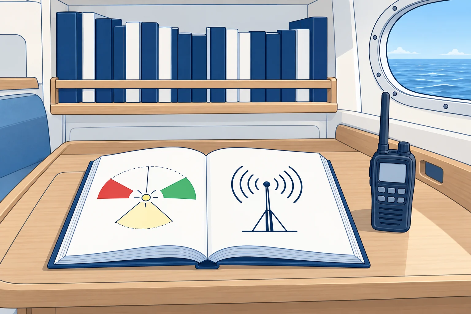
Lists of lights
A list of lights details lights and fog signals within its stated coverage. Minor lights and lighted buoys may be omitted; use the corrected chart for buoyage too. Entries give position, characteristic (colour, rhythm and period), elevation, range, sectors and structure. Official series: ADMIRALTY List of Lights and Fog Signals, in 15 regional volumes, A–Q; US NGA List of Lights (Pubs 110–116); IHM Libro de Faros y Señales de Niebla, in two parts. Choose the volume for your passage.
Lists of radio signals
The ADMIRALTY List of Radio Signals has six volumes. NP281: maritime radio stations. NP282: radio navigation aids, differential GPS (satellite-position corrections), time signals and legal time. NP283: maritime safety information (MSI), weather and NAVTEX (text broadcasts of safety information). NP284: meteorological observation stations. NP285: the Global Maritime Distress and Safety System (GMDSS). NP286: pilot services, vessel traffic services (VTS) and port operations. The US equivalent is the NGA Radio Navigational Aids, Pub 117.
What a yacht uses
You rarely buy all of these. A yachtsman's almanac extracts what small craft need: the lights you will see, VHF channels for ports and traffic services, and weather broadcast times. For a passage abroad, the radio lists confirm port and VTS channels and reporting rules.
Tide tables
Tide tables give full predictions of high and low water times and heights for standard ports. For secondary ports, you use published differences from a reference standard port. Official series include ADMIRALTY Tide Tables (regional volumes; check the current catalogue), digital TotalTide, and the IHM Anuario de Mareas, published each year. Predictions exclude weather: strong winds and pressure change real levels. The Tides units cover the calculations.
Key figures
- ADMIRALTY lights
- 15 regional volumes, A–Q; select the volume for your passage
- ADMIRALTY radio
- List of Radio Signals NP281–NP286 (six volumes)
- US equivalents
- NGA List of Lights Pubs 110–116; Radio Aids Pub 117
- Tide tables
- Regional ADMIRALTY Tide Tables; IHM Anuario de Mareas
- Spanish terms
- Libro de Faros y Señales de Niebla; Anuario de Mareas
Remember
- A list of lights gives details of listed lights; coverage of minor lights and buoyage varies.
- ADMIRALTY List of Radio Signals NP281–NP286 covers stations, MSI, GMDSS and port operations.
- A yachtsman's almanac extracts the lights and radio data small craft need.
- Tide tables predict levels; weather can change the real tide.
Common mistakes
Wrong: The chart shows everything about a light.
Right: The list of lights adds detail such as exact sectors, fog signals and the structure.
Wrong: Tide table predictions are exact.
Right: They exclude weather. Strong winds and high or low pressure change the real level.
Worked case
You are planning to enter a large foreign port with a vessel traffic service. Your almanac gives the VHF channel but says nothing about reporting points. Where do you look?
Show the answer
Look in the ADMIRALTY List of Radio Signals NP286, pilot services, vessel traffic services and port operations, for that region, or the port's own website. It gives VTS sectors, reporting points, channels and any rules for small craft. Check the sailing directions too, and note the details in your passage plan before you arrive.
Practice question
Which publication gives a light's exact sectors and fog signal in full detail?
- The chart catalogue
- A list of lights
- The tide tables
- The nautical almanac
Show the answer
Answer: B. A list of lights gives details of listed lights and fog signals. Coverage varies; check the corrected chart for buoyage too.
3 · Notices
Notices to Mariners and navigational warnings
Charts and books start to age the day they are printed. Notices to Mariners correct them; radio warnings cover the urgent and the temporary.
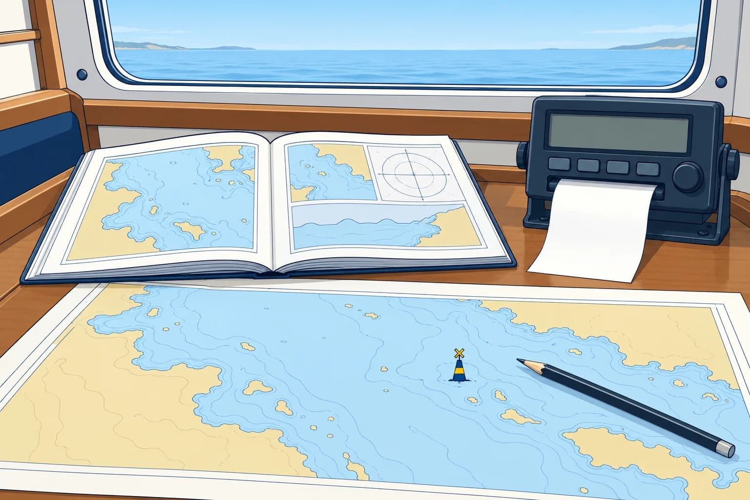
Weekly notices
A Notice to Mariners (NM) corrects charts and publications. The UK Hydrographic Office publishes ADMIRALTY Notices to Mariners each week, free to download. The weekly bulletin has sections for chart corrections, navigational warnings in force, and corrections to sailing directions, lists of lights and radio signals. Other offices do the same: the US NGA publishes a weekly NtM, and the IHM a weekly Grupo de Avisos a los Navegantes.
Permanent, temporary, preliminary
Permanent notices give lasting corrections. T&P means temporary and preliminary. Temporary notices describe temporary conditions. Preliminary notices give advance information or report changes before full permanent corrections can be issued; the change may already exist. On paper charts, enter applicable T&P information in pencil. Check that it remains in force and remove or revise it when cancelled or superseded.
Cumulative and annual
The Cumulative List (NP234) lists chart editions and permanent notices within its stated coverage period, not T&P notices. Compare it with your complete chart record; use official archives for earlier notices and check later weekly notices. Check all T&P notices still in force separately. The Annual Summary of Notices to Mariners includes standing notices and a start-of-year T&P snapshot. Check later additions and cancellations too.
Navigational warnings
Urgent information that cannot wait for the weekly notice goes out by radio: a light out, a drifting container, a newly found wreck. The world is divided into 21 NAVAREAs for long-range warnings; Spain coordinates NAVAREA III, the Mediterranean and Black Sea. Coastal warnings go out by NAVTEX and VHF, called radioavisos in Spain. A warning may later become a permanent notice.
Before you sail
Check the latest notices and warnings for your area as part of the passage plan, including T&P notices. A yacht plotter's charts may not show them.
Key figures
- ADMIRALTY NMs
- Weekly, free download; sections for charts and publications
- T&P
- Temporary and Preliminary notices: marked in pencil
- Cumulative list
- NP234: chart editions and permanent notices within its coverage period
- NAVAREA III
- Mediterranean and Black Sea, coordinated by Spain (IHM)
- Spanish terms
- Grupo semanal de Avisos a los Navegantes; radioavisos
Remember
- Weekly Notices to Mariners correct charts and publications; they are free to download.
- T&P notices are temporary or preliminary and go in pencil.
- NP234 covers permanent notices within its stated period; check all active T&P notices separately.
- Urgent changes can reach you through NAVAREA, NAVTEX and VHF warnings before weekly notices.
Common mistakes
Wrong: A new chart needs no corrections.
Right: Check its edition and recorded correction status. Apply missing permanent corrections and check all T&P notices still in force.
Wrong: T&P notices can be ignored because they are temporary.
Right: They may be the most urgent information you have. Mark them in pencil and check they are still in force.
Wrong: If it is not in the weekly notice, nothing has changed.
Right: Urgent news goes out first by radio warnings. Check NAVTEX and VHF broadcasts too.
Worked case
You bought a chart from a chandler eight months ago and have not corrected it. You plan to sail tomorrow past a harbour where a new breakwater is being built. What do you check?
Show the answer
Confirm the chart edition is current. Compare its complete record with permanent notices, using NP234 within its coverage period, official archives and later weekly notices. Separately check all T&P notices still in force, including older ones. Apply missing permanent corrections in ink and active T&P changes in pencil. Check current navigational warnings too: a change yesterday may not yet be in weekly notices.
Practice question
How often are ADMIRALTY Notices to Mariners published?
- Every day
- Every year
- Every month
- Every week
Show the answer
Answer: D. The UKHO publishes them weekly, with an annual summary as well.
4 · Paper charts
Correcting a paper chart
Check what is missing. Use ink for permanent corrections and pencil for T&P notices. Record each change.
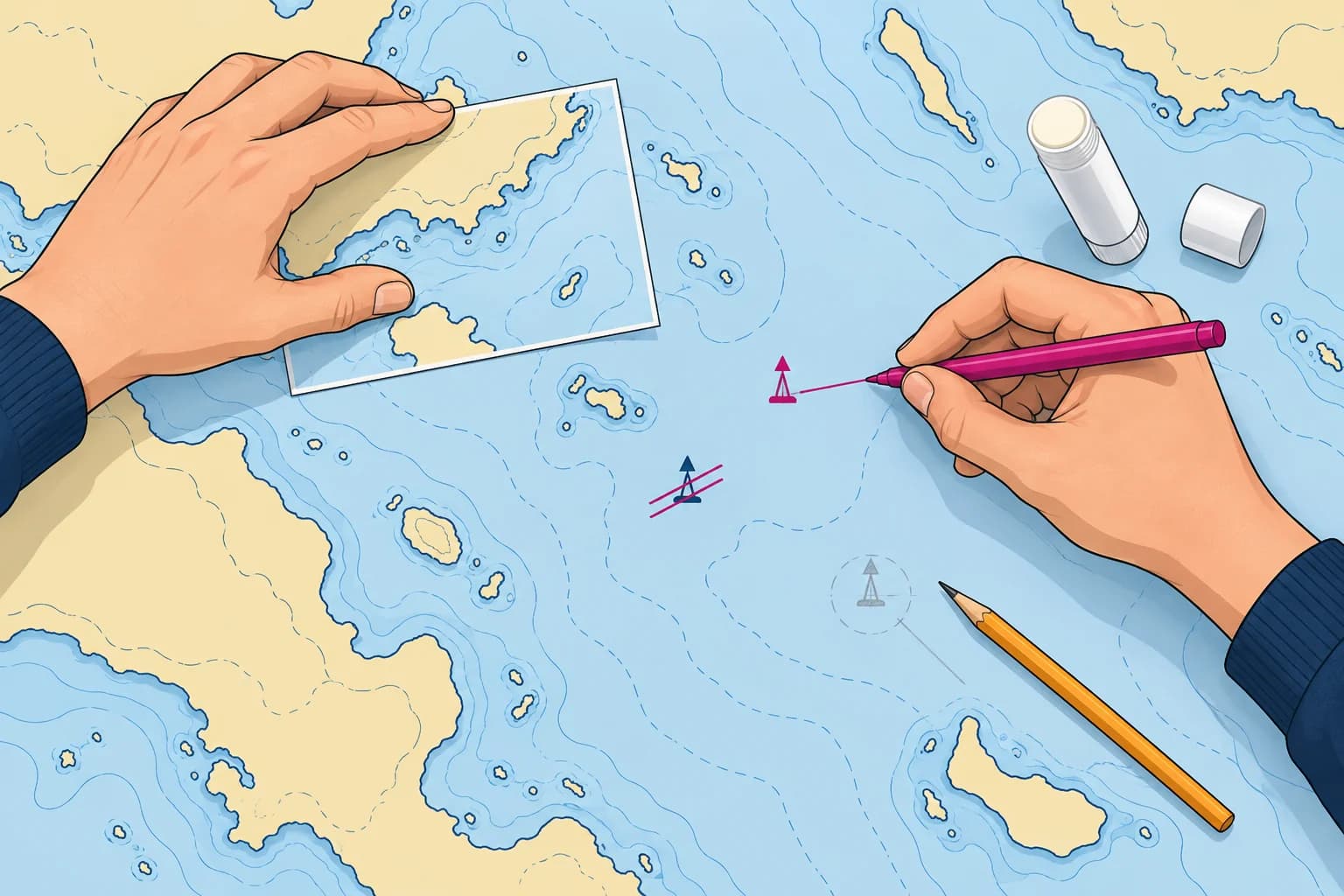
Why still paper
Many yachts carry paper charts as an independent backup. For races adopting World Sailing's Offshore Special Regulations (OSR), Categories 0–3 require charts that are not solely electronic. Commercial small-craft requirements depend on the applicable national rules. The UKHO has said it will keep a full paper chart service until at least 2030, while it withdraws parts of the range case by case.
Where the chart stands
Check the chart number and edition date against the current official listing. Replace a superseded edition. On an ADMIRALTY chart, the bottom-left Small corrections block records permanent notices applied, by year and number. Compare the complete record with official lists and archives; one recent entry does not prove earlier corrections were applied. Check all T&P notices still in force separately.
Applying a correction
Use a fine waterproof pen, magenta or violet, so corrections stand out from the print. Draw new symbols with the chart's own symbols from INT 1 (NP5011), and link a new symbol to its exact position with a fine line if needed. Strike out deleted features with two fine lines; never erase or paint over them. Some notices come with a block: a printed patch you cut out and paste over the area.
Small-craft charts
Correction arrangements vary by chart series. Use the publisher's current notices and instructions for your exact chart number, series and edition. Confirm that the chart is still supported; an archived leisure-chart notice page does not prove it remains current.
Keep a record
After checking each permanent correction, enter its notice number and year in Small corrections. Keep a separate record of active T&P notices and remove entries when cancelled. Your chart log should show the permanent correction status, outstanding T&P information and the date checked.
Key figures
- Small corrections
- Bottom-left margin: permanent notices by year and number
- Permanent corrections
- Fine waterproof magenta or violet ink; strike out, never erase
- T&P corrections
- Pencil; erase when cancelled
- UKHO paper charts
- Full service until at least 2030; parts withdrawn case by case
- Spanish terms
- Corrección de cartas, correcciones menores, cartas en papel
Bringing a paper chart up to date
- Confirm the chart number and current edition; replace a withdrawn or superseded chart. — Corrections for another edition may not apply; a superseded chart needs replacement.
- Compare the complete correction record with official lists and archives; obtain every missing permanent correction. — A recent entry can hide missing earlier permanent corrections.
- Apply permanent corrections in order, using fine waterproof magenta or violet ink and supplied blocks. — Ink lasts and stands out; blocks replace areas with many changes.
- Check all T&P notices still in force, including older ones; remove cancelled entries and pencil in current information. — An active T&P notice may be older than the latest permanent correction; pencil allows later removal.
- Check every correction against its notice and confirm the chart remains legible. — A correction is useful only if it matches the notice and you can read the chart clearly.
- Record permanent notice numbers and years in Small corrections; log T&P entries and the date checked separately. — Separate records let you check permanent corrections and temporary information independently.
Remember
- Confirm the edition is current and check the complete correction record for gaps.
- Permanent corrections in fine magenta or violet waterproof ink; T&P in pencil.
- Strike out deleted features; never erase. Paste blocks where provided.
- Record permanent notices in Small corrections; log active T&P notices and the date checked separately.
Common mistakes
Wrong: Erase a deleted light and redraw the area.
Right: Strike it out with fine lines, so the change is clear and checkable.
Wrong: Any pen will do for corrections.
Right: Use a fine waterproof pen in magenta or violet, so it stays clear and stands out.
Worked case
Your borrowed chart has two missing permanent corrections. The latest T&P in-force list also includes a temporary wreck buoy. How do you update the chart?
Show the answer
Confirm the edition is current and check the full permanent record for gaps. Apply missing permanent notices in fine waterproof magenta or violet ink, using supplied blocks. Check all T&P notices still in force, including older ones; pencil in the wreck buoy only if its notice remains active. Check your work. Record permanent notice numbers and years in Small corrections; log active T&P notices and the date checked separately.
Practice question
Where on an ADMIRALTY chart do you find the corrections already applied?
- In the title block itself
- On the back of the chart
- Beside the compass rose
- In the bottom left margin
Show the answer
Answer: D. The Small corrections block in the bottom-left margin lists permanent notices applied, by year and number. Track active T&P notices separately.
5 · ENC & plotter
Digital charts and publications: updates and their lag
Keep electronic charts and publications current. Check their update status, then check notices and warnings for changes they may omit.
ENC updates
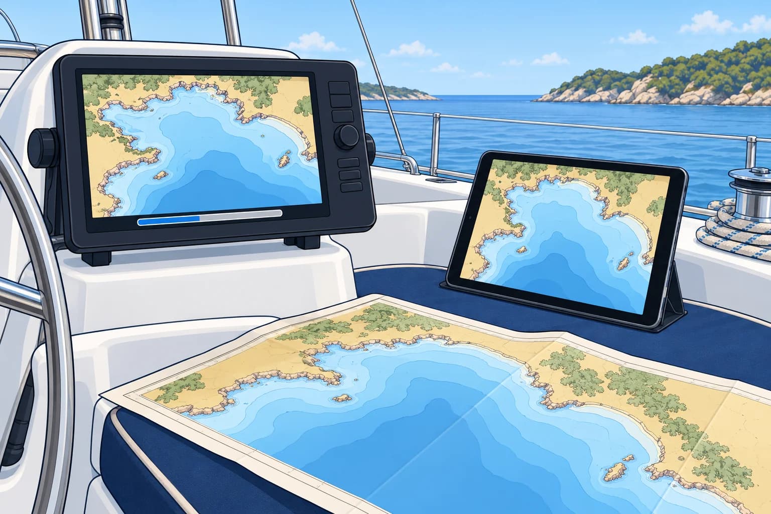
An official ENC (electronic navigational chart) has a base cell and updates. For S-57, start with the supplied base (.000), then apply every later numbered update (.001, .002 and so on) in order. Each depends on earlier changes; the newest file alone is insufficient. A reissued base incorporates earlier updates; apply subsequent updates after it. S-101 is the newer ENC format within the International Hydrographic Organization (IHO) S-100 framework. The Electronic navigation unit covers its introduction.
Plotter charts
Most yacht plotters use private vector charts from companies such as Garmin Navionics or C-MAP, built from official data and often from surveys of their own. They update by app, card or Wi-Fi. There can be a lag (delay): an official change may take weeks or months to reach your plotter, and T&P information may be missing. Check your chart's date and update before a passage.
Digital publications
ADMIRALTY Digital Publications (ADP) provide digital lights, radio and tide data. e-Nautical Publications (e-NP) are electronic reference books, such as Sailing Directions. Apply available weekly corrections using their update services. The IHM publishes its weekly Avisos and its list of lights online. Check the update arrangements for other services.
Survey quality
Downloading an update does not improve the accuracy of an unchanged survey. Old survey data remains old unless newer survey information replaces it. Check the ENC's survey-quality information; the Electronic navigation unit explains zones of confidence.
Before a passage
Update the plotter charts, then check the latest notices and warnings for your area, because the update may not include them. Note on the passage plan the date your charts were updated to.
Key figures
- S-57 ENC files
- Base cell .000, then updates .001, .002… applied in order
- S-101
- Newer ENC format within the IHO's S-100 framework
- ADMIRALTY digital
- ADP and e-NP publications, updated weekly
- Plotter charts
- Private chart updates can lag notices; T&P may be missing
- Spanish terms
- Carta electrónica (ENC), actualización, publicaciones digitales
Remember
- Numbered ENC updates depend on earlier updates and must be applied in order.
- Private chart updates can lag official notices; T&P information may be missing.
- Keep ADP and e-NP current with their update services; check each publication's correction status.
- A recent update does not guarantee a recent survey; check survey-quality information.
Common mistakes
Wrong: My plotter updates itself, so I don't need the notices.
Right: Plotter data can lag. Check recent notices and warnings for your route.
Wrong: Skip a missing ENC update and apply the newest one.
Right: Obtain the missing update or a current reissued base package, then apply subsequent updates in order.
Worked case
A two-month-old preliminary notice announces a wreck buoy on your route. Your recently updated plotter shows neither buoy nor wreck. What do you verify before choosing your route?
Show the answer
Check the notice's effective dates, whether it is still in force, and later notices, cancellations and warnings. Confirm whether the buoy is established or only planned. Do not infer that the wreck is clear from the plotter: T&P may be missing. Annotate the hazard on paper and with a clearly labelled plotter hazard mark or avoidance area, not a route waypoint. Note its status and date, plan safe clearance and record the chart data date.
Practice question
In an S-57 ENC, what is the file ending .000?
- The T&P overlay
- The latest update
- The base cell
- The edition note
Show the answer
Answer: C. The base cell ends .000. Updates follow as .001, .002 and so on.