
Navigation · Level P4 · 6 parts · about 20 min
Voyage planning at management level: ECDIS, routeing, ice and restricted waters
6 short parts: The framework · Margins & aborts · ECDIS policy · Ships' routeing · Ice & Polar Code · UKC policy. Each part explains the idea, then gives the points to remember, the common mistakes, a worked case and a practice question; the Academy unit adds all 36 check questions.
1 · The framework
The voyage plan at management level: SOLAS V/34 and IMO A.893(21)
The second officer may draw the route, but the voyage plan is the master's. SOLAS makes it compulsory; IMO A.893(21) says what goes in it.
The rule
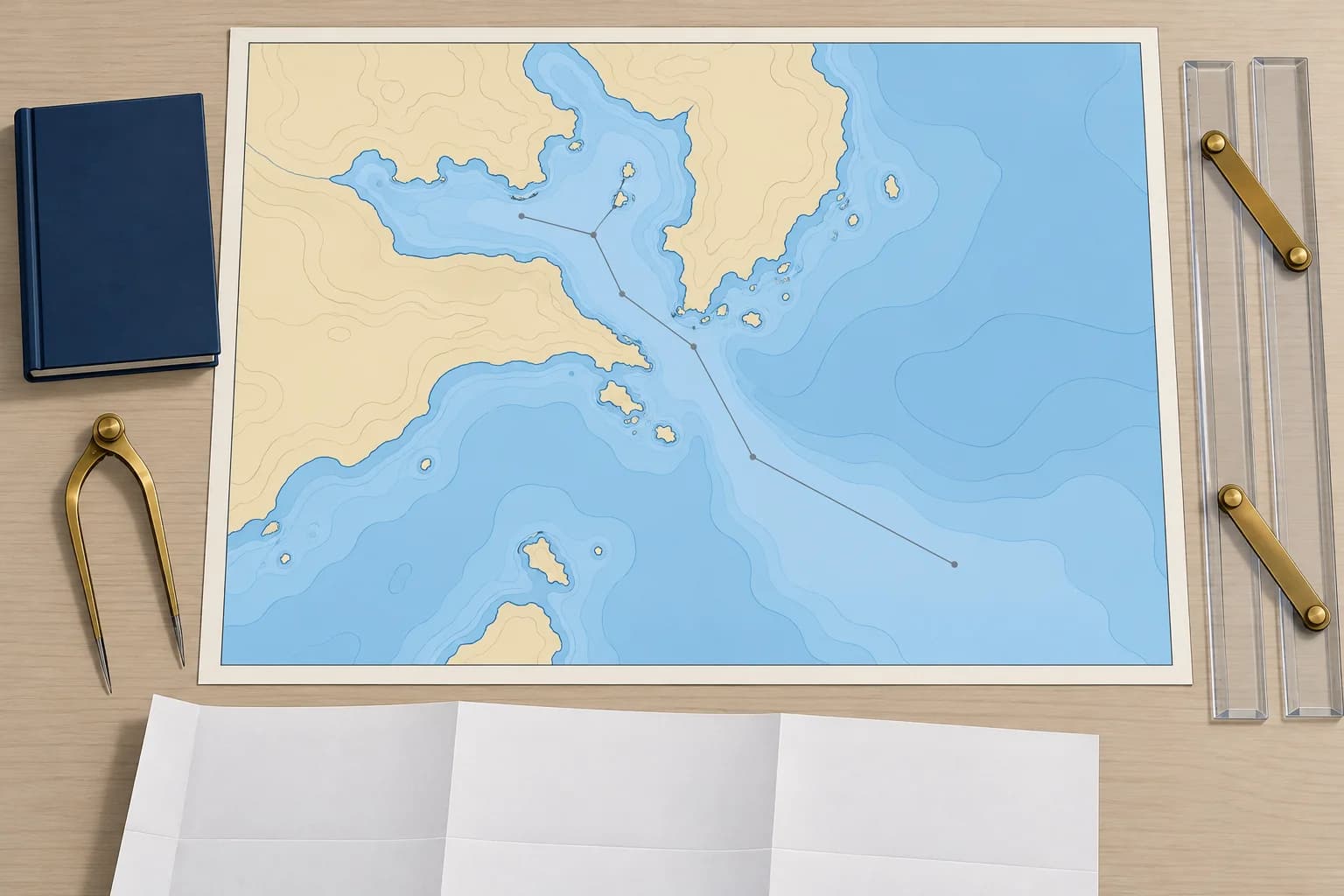
SOLAS regulation V/34 requires the master, before proceeding to sea, to ensure the voyage has been planned using appropriate charts and publications, following IMO guidance. The plan must allow for routeing systems, give enough sea room, anticipate known hazards and adverse weather, and respect environmental protection measures. Regulation V/27 requires those charts and publications to be adequate and up to date.
The guidance
IMO resolution A.893(21), Guidelines for voyage planning (1999), sets four stages: appraisal, planning, execution and monitoring. On a ship, appraisal covers condition, stability, draught limits, manoeuvring data, cargo, certificates, manning and crew rest, as well as the route. For execution, confirm ship and team readiness and adjust timing to conditions. For monitoring, assign independent position checks and review departures from the plan.
Berth to berth
The plan covers the whole voyage from berth to berth, pilotage waters included. A pilot on board does not remove the need for the ship's own plan of those waters. Where the voyage destination is not yet known, plan as far as you can and complete it when orders arrive. The company's safety management system (ISM Code) sets how plans are made, checked and recorded.
Who does what
The master usually delegates the preparation to the navigating officer, often the second officer. The master then checks and approves the plan. Every bridge watchkeeper is briefed on it before departure, and many companies ask them to sign that they have read it. The chief mate checks the parts that touch cargo, stability and draught.
Master's discretion
SOLAS V/34-1 protects the master's professional judgement: the owner, charterer or anyone else must not prevent or restrict the master from taking or carrying out any decision which, in the master's judgement, is necessary for safe navigation or the protection of the marine environment. A commercial schedule never overrides the voyage plan's safety limits.
Key figures
- Voyage planning duty
- SOLAS V/34: master ensures the voyage is planned
- Charts and publications
- SOLAS V/27: adequate and up to date
- Master's discretion
- SOLAS V/34-1
- IMO guidelines
- A.893(21): appraisal, planning, execution, monitoring
- Extent
- Berth to berth, including pilotage waters
Remember
- SOLAS V/34 makes voyage planning compulsory; the master is responsible and approves the plan.
- IMO A.893(21): appraisal, planning, execution and monitoring, from berth to berth.
- Every watchkeeper is briefed on the plan before departure, and again after any change.
- SOLAS V/34-1: no one may restrict the master's decisions for safe navigation.
Common mistakes
Wrong: The plan can stop at the pilot station, because the pilot knows the port.
Right: Plan berth to berth. The pilot advises, but the ship's own plan of pilotage waters is still needed to monitor the pilot.
Wrong: Once the second officer has drawn the route, the plan is done.
Right: The master checks and approves it, and the bridge team is briefed. Only then is it the ship's plan.
Worked case
The charterer's operator emails you, the master, asking you to take a shorter route through an area your plan treats as no-go in the forecast swell, to save six hours. The office says it is your call. What do you do?
Show the answer
Keep to the approved plan unless a proper re-appraisal shows the shorter route is safe. SOLAS V/34-1 protects your decision. Reply politely with the safety reasons: swell, under-keel clearance and margins. Record the request and your decision. If conditions improve, re-appraise and amend the plan, check and approve it, and brief the officers before using it.
Practice question
After approval, cargo changes increase draught. What must happen before departure?
- Keep the plan because the waypoints are unchanged
- Leave the route review until the pilot boards
- Re-appraise, check and approve the amended plan
- Record the new draught without reviewing the route
Show the answer
Answer: C. Approval depends on the ship condition used in the appraisal. Re-appraise the increased draught, check and approve the amended plan, and brief the watchkeepers before departure.
2 · Margins & aborts
No-go areas, margins of safety, abort points and contingencies
A good plan marks where the ship must never go, how far she may stray, where you can still turn back, and what you will do if things go wrong.
No-go areas
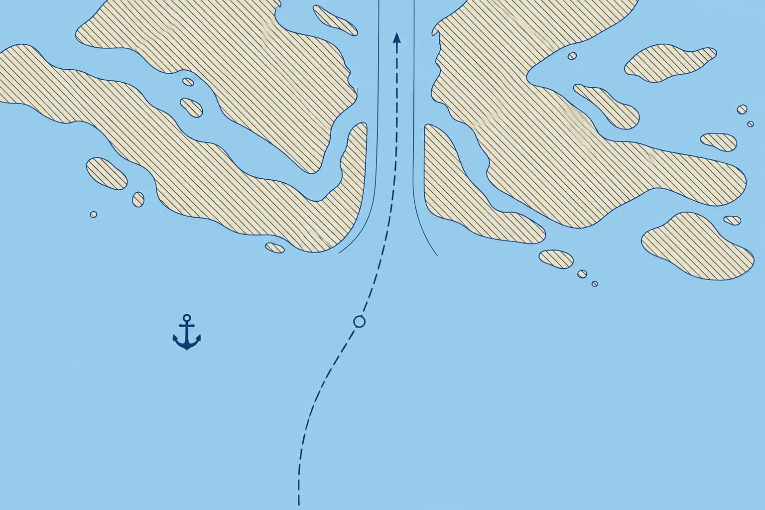
Mark as no-go all water too shallow for your ship at the expected time, with the required under-keel clearance, plus other dangers and closed areas. On ECDIS, your safety contour does much of this; on paper charts, hatch them clearly. Where tide matters, no-go areas can change with time: note the times they open and close.
Margins of safety
Keep a margin of safety between the ship and each danger. Set cross-track limits (XTL), the permitted deviation on either side of the planned track, within that safe water. Allow for position uncertainty, traffic and ship handling. Mark clearing bearings and clearing ranges: bearing and distance limits that keep you clear of a charted danger.
Parallel indexing
On a relative-motion radar display, draw a parallel index (PI) line parallel to the planned ground track. Offset it from the own-ship origin by the intended perpendicular passing distance from a fixed, radar-conspicuous object. Its echo should move along the line. This monitors cross-track clearance; take independent fixes too. Plan wheel-over points, where you apply helm for each turn, using the ship's turning data.
Abort points
An abort point is a planned position where you decide whether to continue or use the agreed escape manoeuvre. The point of no return is where that escape is no longer safe. Mark them clearly; allow enough distance to complete the abort before losing the escape option. Agree triggers beforehand, such as poor visibility, a missing tug, a machinery fault or a closed berth.
Contingencies
Plan for what can fail: an engine or steering failure, a blackout, bad weather or a closed port. Mark contingency anchorages, alternative routes, emergency contacts and the bridge manning level for each stage. Before pilotage, compare your plan with the pilot's in the master–pilot exchange; the Working with tugs and pilots unit covers it.
Remember
- Mark no-go areas for your draught and UKC at the expected time, and when they change.
- Set cross-track limits within safe water; use clearing bearings, ranges and parallel indexing to monitor clearance.
- Mark wheel-over points, abort points and the point of no return on the chart.
- Plan contingencies: anchorages, alternative routes, manning levels and the master–pilot exchange.
Common mistakes
Wrong: Parallel indexing gives a fix of the ship's position.
Right: It shows whether you are on the planned line from one object. It is a monitoring tool; fix your position separately as well.
Wrong: Decide whether to abort when you get there.
Right: Agree the abort criteria in advance and mark the abort point. Past the point of no return there may be no safe way out.
Worked case
You are approaching the marked abort point for a channel transit. The plan requires two tugs; only one is ready. The pilot suggests entering because the berth is clear. What do you do?
Show the answer
Do not pass the abort point with an agreed safety condition unmet. Use the planned safe holding or abort manoeuvre before commitment, and inform the pilot and VTS. Re-appraise only from a safe position. Check the tidal window and manning before approving and briefing any revised plan.
Practice question
What is an abort point in a voyage plan?
- The point where the pilot boards from the pilot launch
- A planned decision point for continuing or aborting
- The point where the ship turns onto the next leg
- The position where the voyage plan finally ends
Show the answer
Answer: B. At the abort point, decide whether to continue or use the agreed escape manoeuvre. Allow enough distance to complete the abort before the point of no return, where that escape is no longer safe.
3 · ECDIS policy
ECDIS at management level: company settings, route approval and audit
At management level you set the standard: safety settings for each stage, checks before approval, a clear briefing and records you can audit.
Company safety parameters
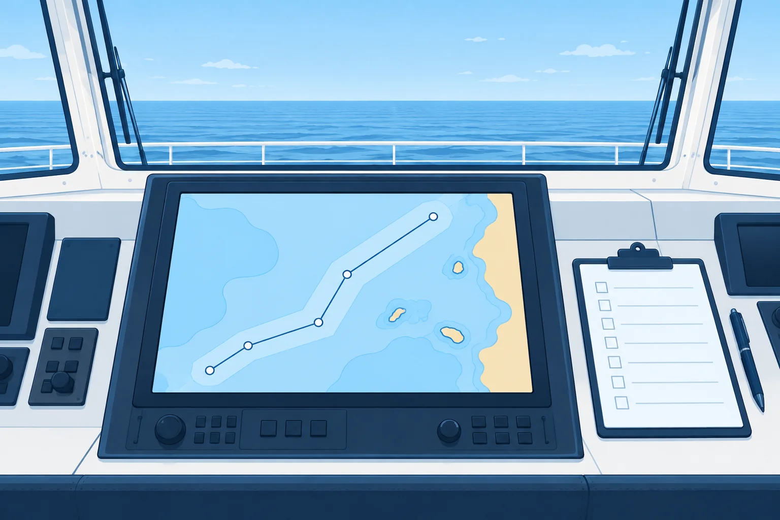
The safety management system should set how ECDIS is configured: how to work out the safety contour and safety depth, cross-track limits (XTL) for open sea, coastal and pilotage waters, look-ahead time, and which alarms stay on. Write them into the ECDIS standard operating procedures (SOPs). The ECDIS basics unit explains each setting; your job is to make sure they are right for this ship and this voyage.
Data and system files
STCW table A-II/2 expects you to manage ECDIS data: ordering, licensing and updating ENCs and system software, keeping configuration and backup files, and keeping route and log files. Order ENC permits for the whole voyage and the contingencies. Check software against applicable IHO standards. Verify the approved backup: a second ECDIS needs current charts, the approved route and appropriate settings; a paper-chart backup needs corrected charts with the route plotted.
Checking before approval
Before you approve a route, look at it on screen yourself. Check that the settings match the procedures, the route check has been run and every result resolved, and the visual check made on the largest-scale ENCs. Check also that critical points, abort points, PI lines and notes are on the route. Approve the named route version, and lock it against casual changes if your system allows.
Briefing and changes
Brief all watchkeepers on the route, settings, critical points, contingencies and when to call the master. Check planned route amendments, obtain the master's approval and brief affected watchkeepers before use. Never delay immediate action for safety: the officer of the watch acts, calls the master and checks position and safe water. Check, approve, record and brief the revised plan as soon as practicable. State this distinction in your standing orders.
Audit
Check the ECDIS at handovers and during the voyage: the settings in use, the route loaded, alarms enabled, position source and look-ahead. Review the ECDIS log and alert history from time to time. Newer standards add S-421 route exchange with shore authorities, for example with a vessel traffic service; send only the approved route.
Master's ECDIS check before approving a route
- Compare safety contour, safety depth, XTL and look-ahead with the company procedures. — Wrong or default settings make every later check meaningless.
- Confirm the route check was run and every result is resolved. — Ignored warnings are a recurring cause of groundings.
- Scan the route on the largest-scale ENCs in All other mode. — It catches dangers the automatic check can miss.
- Check ENC updates, permits and the backup for the whole voyage. — An out-of-date or unlicensed cell, or a stale backup, can hide a danger.
- Check critical points, abort points, PI lines and notes are on the route. — The OOW needs them on screen at the right moment.
- Approve the named version and brief all watchkeepers. — Everyone navigates the same, checked plan.
Remember
- Company SOPs set the safety contour method, XTL for each stage, look-ahead and alarms.
- STCW A-II/2: manage ENC licences, updates, software, configuration, route and log files.
- Check and approve named route versions; brief planned amendments before use. In immediate danger, act and call the master.
- Audit settings, alarms and logs at handovers and during the voyage.
Common mistakes
Wrong: The master can approve the route from the printed waypoint list.
Right: Look at the route on the ECDIS: settings, route check results and the visual check cannot be seen on a list.
Wrong: Once settings are made in port, they need no further checking.
Right: Settings drift with handovers and passwords. Audit them at handovers and when the draught or stage of the voyage changes.
Worked case
On joining a ship as master you find that each officer uses his own safety contour, alarm settings vary from watch to watch, and the route in use has three unnamed versions. What do you put in place?
Show the answer
Set one standard from the company procedures: how to work out safety contour and safety depth, XTL for each stage, look-ahead and alarms always on. Load one named, approved route version; archive the others as superseded. Add it to your standing orders. Check settings at each handover and review the alert log. Brief all officers and record the briefing.
Practice question
Where should the ship's standard ECDIS safety settings be defined?
- In each officer's own notebook
- In the maker's default configuration
- In the pilot card for each port
- In the company's ECDIS procedures
Show the answer
Answer: D. The safety management system sets the method for safety contour, XTL, look-ahead and alarms, so all watchkeepers use the same standard.
4 · Ships' routeing
Ships' routeing, reporting systems and ocean routeing
IMO routeing measures and reporting systems shape your route as much as the depths do. Find them all in the appraisal and build them into the plan.
IMO routeing
SOLAS V/10 makes IMO the body that adopts ships' routeing systems for international use. Find these measures in IMO's Ships' Routeing, charts and electronic navigational charts (ENCs). Identify which measures apply to your ship before approving the route. For conduct in a traffic separation scheme (TSS), see the TSS unit.
What each measure does
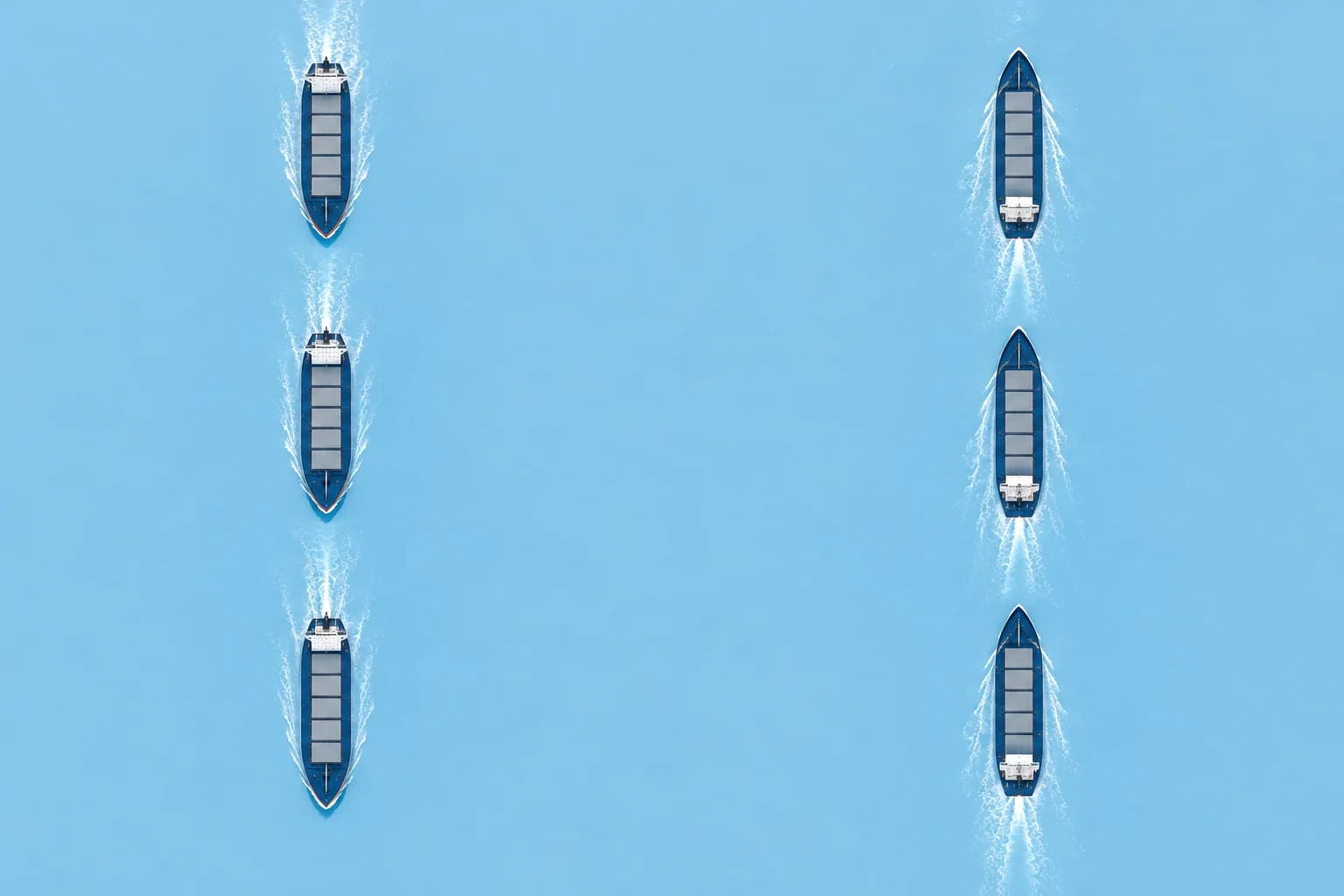
A TSS separates opposing traffic streams; an inshore traffic zone (ITZ) lies between its inshore boundary and the coast. A two-way route carries traffic in both directions. A deep-water route has defined limits and surveyed depths. A precautionary area calls for particular caution; traffic flow may be recommended. A recommended track has been examined for navigational dangers. Check the published applicability and mandatory or recommended status before approving the route.
Areas to avoid
An area to be avoided (ATBA) protects against navigational hazards or environmental damage and may apply to all ships or specified classes. Mark applicable ATBAs as no-go. A no-anchoring area restricts anchoring; it does not by itself prohibit transit. A particularly sensitive sea area (PSSA) is not automatically no-go: identify and apply its specific associated protective measures, such as routeing or reporting requirements.
Reporting and VTS
SOLAS V/11 covers ship reporting systems; IMO-adopted mandatory systems must be used by the ships they name. SOLAS V/12 covers vessel traffic services (VTS). Plan each reporting point, what to report, on which channel and when. The Dover Strait is a familiar example: a TSS with a mandatory reporting system, CALDOVREP, and traffic services on both coasts.
Where to find it
Use the charts and ENCs, Sailing Directions, IMO's Ships' Routeing, the lists of radio signals for reporting and VTS details, and navigational warnings. Check local regulations, which may add speed limits, pilotage and environmental rules. Seasonal measures, such as whale protection zones, may apply only for part of the year.
Ocean routeing
For ocean routeing charts and publications, see the Ocean passage planning unit. For weather routeing, see the Weather routeing unit.
Key figures
- Ships' routeing
- SOLAS V/10; published in IMO Ships' Routeing
- Ship reporting systems
- SOLAS V/11
- Vessel traffic services
- SOLAS V/12
- Conduct in a TSS
- COLREG Rule 10
- Dover Strait reporting
- CALDOVREP, a mandatory reporting system
Remember
- Routeing measures (SOLAS V/10) include TSS, deep-water routes, ATBA and precautionary areas.
- Mandatory ship reporting systems (V/11) and VTS (V/12): plan every report and channel.
- Check charts, Sailing Directions, Ships' Routeing, radio signal lists and local rules.
- Use the Ocean passage planning and Weather routeing units for offshore route-planning methods.
Common mistakes
Wrong: A deep-water route is the recommended route for every ship.
Right: Deep-water routes are for ships that need the depth. Other ships should avoid using them unnecessarily.
Wrong: An area to be avoided is only advice and can be ignored if time is short.
Right: Plan to keep out of an ATBA if it applies to your ship. It protects you from a hazard or protects a sensitive area.
Worked case
Your laden tanker will pass a coastal area with an IMO area to be avoided for tankers, a TSS, a deep-water route and a mandatory reporting system. The shortest track crosses the ATBA. How do you build these into the plan?
Show the answer
Mark the ATBA as no-go for this ship and route outside it. Check which adopted routeing measures apply and plot a compliant route. Check whether the deep-water route is appropriate for your draught; use the TSS unit for navigation conduct. Mark reporting points, report format, channels, times and VTS contacts. Check local speed and environmental rules, and brief the watchkeepers.
Practice question
Which SOLAS chapter V regulation covers ships' routeing systems adopted by IMO?
- Regulation 12
- Regulation 10
- Regulation 34
- Regulation 19
Show the answer
Answer: B. V/10 is ships' routeing. V/11 is ship reporting systems and V/12 is vessel traffic services.
5 · Ice & Polar Code
Ice navigation: the Polar Code, PWOM and POLARIS
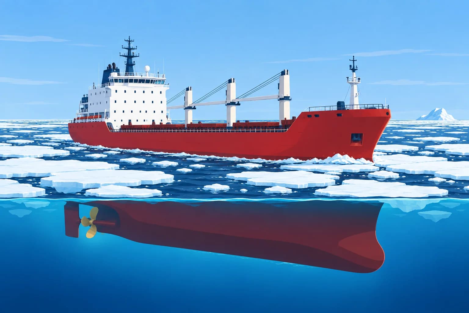
In polar waters the ship's certificate, manual and an ice-risk assessment set your limits. Plan with ice information, not just with the chart.
The Polar Code
The IMO Polar Code entered into force on 1 January 2017 through SOLAS and MARPOL. It covers Code-defined Arctic waters and the Antarctic area, south of 60° S. Check which safety and pollution provisions apply to your ship; their scopes differ. Ships subject to the full SOLAS safety regime need a Polar Ship Certificate showing their category and ship-specific limits.
Categories and limits
Category A ships are designed for at least medium first-year ice, possibly with old-ice inclusions. Category B ships are not Category A and are designed for at least thin first-year ice, possibly with old-ice inclusions. Category C ships are designed for open water or ice less severe than A and B. These categories do not replace the ship-specific certificate and PWOM limits.
The PWOM
Ships subject to the full SOLAS safety regime carry a Polar Water Operational Manual (PWOM). It gives the ship's capabilities and limits, and procedures for normal operation and emergencies in ice and low temperatures. It includes the method the ship uses to assess its operational limits in ice. The plan must stay within the certificate and the PWOM.
POLARIS
POLARIS is an IMO-accepted method in MSC.1/Circ.1519. An ice regime is the mix of ice types and open water around the ship. Describe it from ice charts and observation. Include every ice type and open water, with concentrations in tenths totalling ten. Each component has a risk index value (RIV) for your ice class. The risk index outcome is RIO = sum of concentration × RIV. RIO of zero or above means normal operation. Negative values mean elevated risk or special consideration, depending on class and value.
Planning in ice
The Polar Code's voyage planning chapter asks you to consider current ice information and forecasts, statistical ice and temperature data, places of refuge, areas of limited survey, marine mammals and protected areas, and the limited search and rescue support. Plan to avoid ice where you can, and to slow down in ice and in poor visibility. The Global winds, ocean weather and sea ice unit covers ice terms and icebergs.
Qualified officers
STCW regulation V/4 sets basic and advanced training for ships in polar waters. In open waters, officers on tankers and passenger ships need basic training. In other ice-covered waters, the master and chief mate need advanced training and the officers of the watch basic training. Handling a ship in ice is covered in the ship-handling units.
Key figures
- Polar Code in force
- 1 January 2017 (SOLAS chapter XIV and MARPOL)
- Antarctic area
- South of 60° S
- Category A / B / C
- A: medium first-year; B: thin, not A; C: less severe than A/B
- POLARIS
- RIO = Σ C × RIV; include open water; Σ C = 10
- RIO ≥ 0
- Normal operation
- Polar training
- STCW V/4: basic and advanced
Remember
- Where the full SOLAS safety regime applies, carry a Polar Ship Certificate (A/B/C) and PWOM.
- POLARIS: include ice and open water, totalling ten tenths. RIO = Σ C × RIV for your ice class; RIO ≥ 0 is normal.
- Plan with current ice information and forecasts, places of refuge and limited SAR support.
- STCW V/4: beyond open water, masters/chief mates need advanced polar training; OOWs need basic training.
Common mistakes
Wrong: Any ship with an ice class can go wherever the ice charts show a way through.
Right: Stay within the Polar Ship Certificate and the PWOM, and assess each ice regime, for example with POLARIS.
Wrong: The voyage plan in polar waters can rely on charted depths alone.
Right: Many polar areas have limited or old surveys. Allow wide margins and use ice, weather and survey information together.
Worked case
Your Category B cargo ship plans an Arctic voyage in autumn. The latest ice chart shows a band of mixed ice across the planned route. The charterer wants the shortest track. What must you do before deciding the route?
Show the answer
Check the Polar Ship Certificate and PWOM limits for this ship. Describe the ice regime on each part of the route from the latest ice charts and forecasts, and work out the RIO with POLARIS for your ice class. Route around regimes with a negative RIO unless the PWOM allows them with conditions. Plan places of refuge, reduced speeds, survey margins and communications, and confirm the officers' polar training.
Practice question
Given 6/10 ice with RIV +2 and 4/10 with RIV −3, what is RIO?
- −6
- 0
- +6
- +12
Show the answer
Answer: B. Use concentrations in tenths: 6 × 2 + 4 × (−3) = 0. This indicates normal operation under POLARIS, subject to the certificate and PWOM limits.
6 · UKC policy
Restricted waters and the under-keel clearance policy
Under-keel clearance is what is left after every static and moving allowance. Plan it for the worst point, at the planned speed and time.
What it is
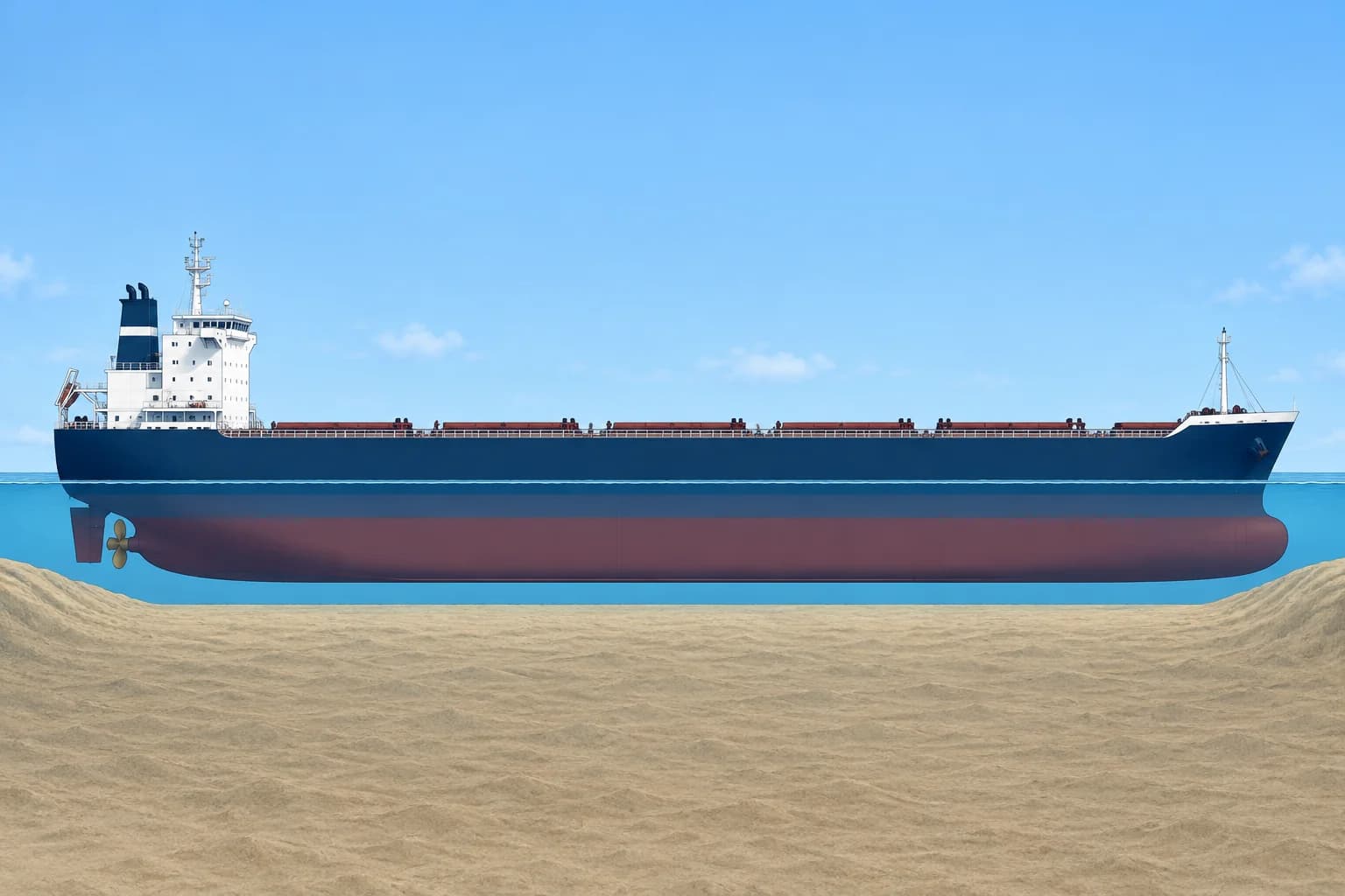
Under-keel clearance (UKC) is the water between the keel and the seabed. The static UKC is depth of water minus the ship's draught at rest. Depth of water = charted depth + height of tide. Allow for the accuracy of the survey, using the zone of confidence, and for water density, trim and list. Static UKC is what you have before the ship moves.
Dynamic allowances
A moving ship needs more. Squat, the sinkage and trim change caused by speed in shallow water, grows roughly with the square of speed. Wave response, heave, pitch and roll in swell, takes more. Heel in a turn or from wind lowers the bilge. What is left after these is the dynamic UKC, and that is what must meet the policy.
The policy
Companies and port authorities set a minimum UKC. It is often a percentage of draught, a fixed figure in metres or both, and different for open sea, approaches and port. Use the stricter of the company and port figure. Check least depths and every leg at its expected transit time, allowing for speed and conditions; the lowest remaining dynamic UKC controls.
Squat estimate
A common rule of thumb by Barrass gives maximum squat in metres ≈ Cb × V² ÷ 100 in open shallow water. In a confined channel it is about twice that: Cb × V² ÷ 50. Cb is the block coefficient, a measure of how full the hull is, and V is speed through the water in knots. Treat it as an estimate; the Ship handling unit is the home of squat.
Worked example
Charted depth 14.0 m + tide 1.2 m − draught 12.5 m gives static UKC 2.7 m. With Cb 0.80 in a confined channel, squat at 10 knots is 1.6 m, leaving 1.1 m: below the 10 % policy minimum of 1.25 m. At 8 knots, squat is about 1.02 m, leaving about 1.68 m before other allowances. Accept that speed only if all remaining allowances leave at least 1.25 m and steering remains adequate. Recheck tide at the revised transit times.
Key figures
- Depth of water
- Charted depth + height of tide
- Static UKC
- Depth of water − draught at rest
- Squat, open shallow water
- ≈ Cb × V² ÷ 100 metres (V in knots)
- Squat, confined channel
- ≈ Cb × V² ÷ 50 metres
- Dynamic allowances
- Squat, wave response, heel
Remember
- Static UKC = charted depth + tide − draught, with allowances for survey accuracy, density, trim and list.
- Subtract squat, wave response and heel to find dynamic UKC, which must meet the policy.
- Squat ≈ Cb × V² ÷ 100 in open shallow water, about double in a confined channel.
- Speed is the quickest lever: halving speed cuts squat to about a quarter.
Common mistakes
Wrong: If static UKC meets the policy, the transit is safe at any speed.
Right: Squat, wave response and heel reduce UKC under way. Check the dynamic UKC at the planned speed.
Wrong: Squat grows in proportion to speed.
Right: It grows roughly with the square of speed: reducing from 10 to 8 knots cuts it by more than a third.
Wrong: Charted depths can be trusted to the decimetre everywhere.
Right: Survey accuracy varies with the zone of confidence and survey age. Add an allowance where the survey is poor or old.
Worked case
Least charted depth 12.5 m, tide 0.9 m. Draught 11.0 m, Cb 0.82, planned 9 knots in a confined channel. Port rule: dynamic UKC at least 1.0 m. Is the plan acceptable?
Show the answer
Not yet demonstrated safe. Depth 13.4 m; static UKC 2.4 m. Squat at 9 knots is about 1.33 m, leaving about 1.07 m before other allowances: only about 0.07 m above the port minimum. Check company policy and survey, tide, draught, density, trim/list, wave and heel allowances. Assess lower speed or more tide; recalculate at revised transit times and confirm steering before approval. Record and brief the final limits.
Practice question
Charted depth 14.0 m, height of tide 1.2 m, draught 12.5 m. What is the static UKC?
- 1.5 m
- 3.9 m
- 1.2 m
- 2.7 m
Show the answer
Answer: D. Depth of water = 14.0 + 1.2 = 15.2 m. Static UKC = 15.2 − 12.5 = 2.7 m.